
Turytsia, village in Perechyn Raion, Zakarpattia Oblast, Ukraine
Location: Uzhhorod Raion
Location: Tur'ya Remety Hromada
Elevation above the sea: 208 m
GPS coordinates: 48.72722,22.64000
Latest update: March 31, 2025 03:48
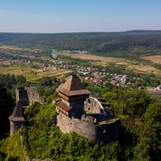
Nevytsky Castle
17.7 km
Uzhhorod Raion
2.2 km
Polonyna Runa
14.8 km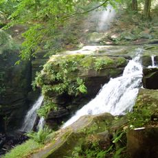
Voyevodyn waterfall
16.6 km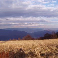
Yavirnyk
20.4 km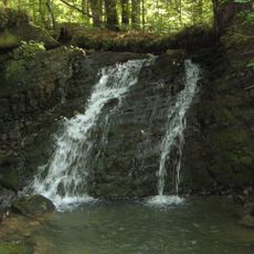
Lumshory Waterfalls
13 km
Antalovetska Polyana
12.6 km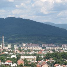
Hora Makovytsya
8.2 km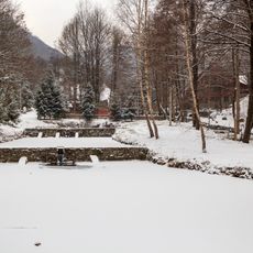
Voevodyno
7.2 km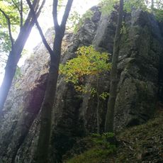
Obavsky Stone
20.5 km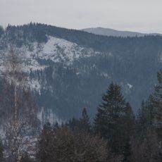
Sokolovi Skeli Reserve
13.5 km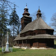
Saint Michael church in Chornoholova
14.2 km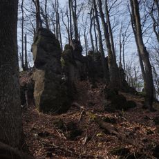
Antalovetski skeli Natural Monument
12.7 km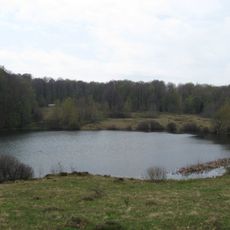
Velyke Trostia
12.3 km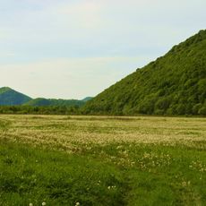
Turia Poliana Reserve
13.2 km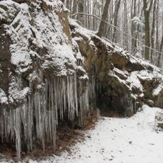
Vorochiv rocks
15.9 km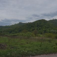
Tepla Yama Natural Monument
15.6 km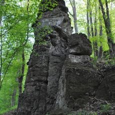
Tent Rock in Zamkova Hora Tract
17.9 km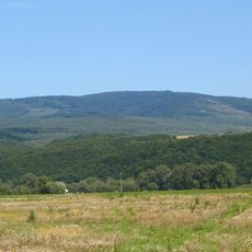
Antalivska Poliana Reserve
13.3 km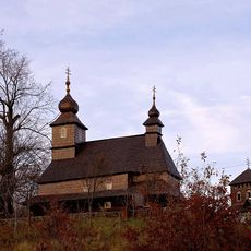
Saint Basil Church, Likitsary
8.2 km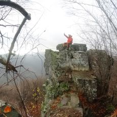
Кам'яні останці з різними формами вивітрювання «Сокалець»
8.9 km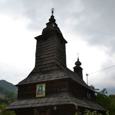
Saint Anne Orthodox church in Bukivtsovo
11.1 km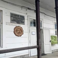
Museum of Local Ethnographic Museum of Perechyn
11.9 km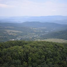
Скалка, високий стрімчак, який виник внаслідок тектонічного злому
17.8 km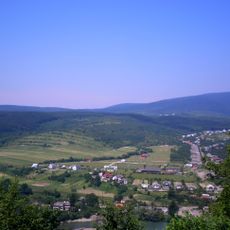
Ostra landscape reserve
19.2 km
Nevytskyi Karyer Natural Monument
19.1 km
Kashtanovyi Hai Natural Monument
18.9 km
Obava Outcrop
20.5 kmReviews
Visited this place? Tap the stars to rate it and share your experience / photos with the community! Try now! You can cancel it anytime.
Discover hidden gems everywhere you go!
From secret cafés to breathtaking viewpoints, skip the crowded tourist spots and find places that match your style. Our app makes it easy with voice search, smart filtering, route optimization, and insider tips from travelers worldwide. Download now for the complete mobile experience.

A unique approach to discovering new places❞
— Le Figaro
All the places worth exploring❞
— France Info
A tailor-made excursion in just a few clicks❞
— 20 Minutes