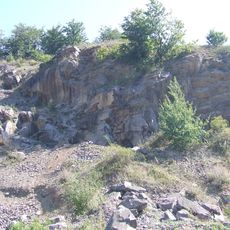
Sinyak Massif, Mountain range in Zakarpattia Oblast, Ukraine.
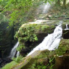
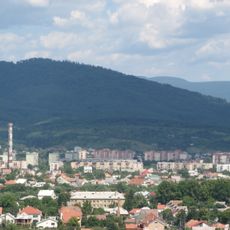
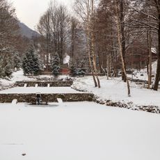
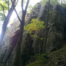
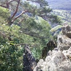
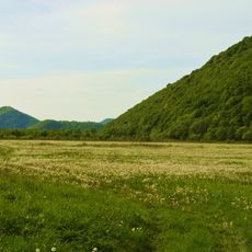
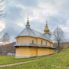
Sinyak Massif is a mountain range of the Volcanic Ridge of the Ukrainian Carpathians in Zakarpattia Oblast, stretching 18–20 km east–west and 22 km north–south between the Latorytsia valley and the Makovica range. Its highest point is Mount Dunavka at 1,018 m, with other peaks including Makkos (976 m), Antalóci-Polyána (971 m) and Obavai-kő (979 m). The massif is built of volcanic tuffs and crystalline andesites and basalts, with oak-beech forests up to 600 m and beech forests with some conifers above.
The area shows evidence of human settlement from the earliest Stone Age period. This long history of habitation reflects the region's position as a crossroads between different cultural zones.
The massif's name comes from the blue haze that gave it the Hungarian name Kéklő-hegység, adopted in the interwar Magyarisation period; a 16th-century source already called it Kék-bérc. The resort of Kékesfüred (Syniak) on the massif grew around mineral springs used at the Syniak and Karpaty balneological resorts. The Pilis-Hargita long-distance hiking route, launched in 2005, crosses the range.
The mountain range is most easily reached from the town of Irshava, where local guides and detailed maps can be obtained. Sturdy footwear and adequate water and food supplies are essential, especially for longer walking days.
The massif's name has shifted with politics: Hungarians called it Kéklő-hegység only during the interwar Magyarisation campaign, while a 16th-century name, Kék-bérc ("blue ridge"), is older. Its highest point, Dunavka, reaches 1018 m, and the range is built of volcanic tuffs and andesites.
The community of curious travelers
AroundUs brings together thousands of curated places, local tips, and hidden gems, enriched daily by 94,544 contributors worldwide.