Vorokhta, human settlement in Ivano-Frankivsk Oblast, Ukraine
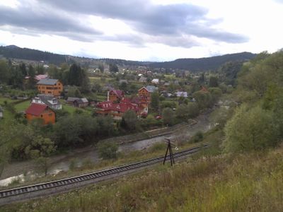
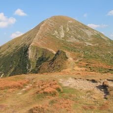
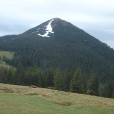
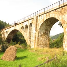
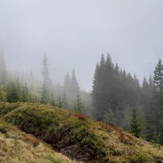
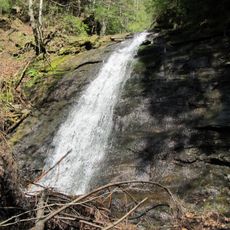
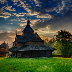
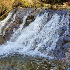
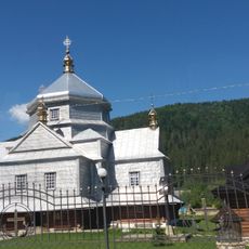
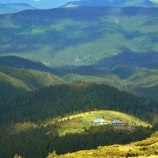
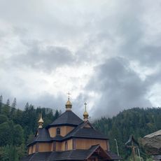
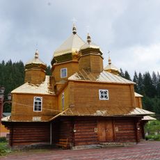
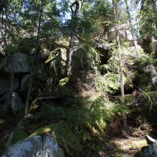
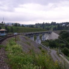
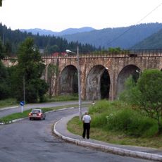
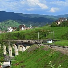
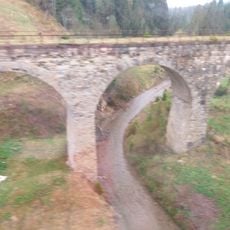
Vorokhta is a mountain village in Ivano-Frankivsk Oblast with wooden houses, forest landscape, and rolling hills situated around 800 meters elevation. The settlement combines traditional architecture with modern ski facilities and sits near historic stone railway bridges.
The village was founded in the late 1600s when Mykhailo Vorokhta established weaving workshops that shaped the local economy. Following the railway's arrival in 1884, it became a resort destination with the first sanatorium opening in 1906.
The settlement preserves strong Hutsul traditions through crafts, music, and local festivals passed down through generations. Visitors can watch traditional weaving, wood carving, and herbal product-making in still-active family workshops.
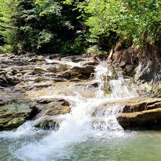
Summer is best for hiking and winter for skiing on well-maintained slopes, while the roads and trails suit different activity levels. Sturdy footwear is essential since terrain is hilly and becomes slippery when wet or snow-covered.
A large ski jump was built in the early 1920s as the only professional one in Poland at the time, attracting national competitions. The restored facility is still used by jumpers from the region and draws spectators eager to watch athletes fly through the air.
The community of curious travelers
AroundUs brings together thousands of curated places, local tips, and hidden gems, enriched daily by 60,000 contributors worldwide.