Turka, Administrative center in Sambir Raion, Ukraine
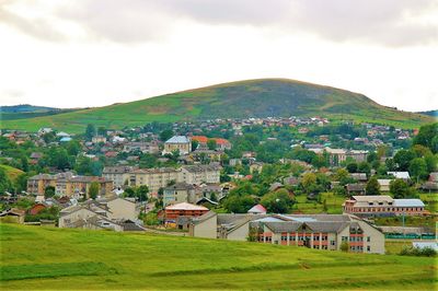
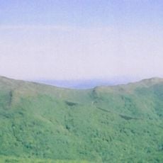
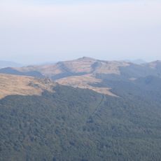
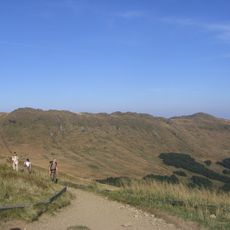
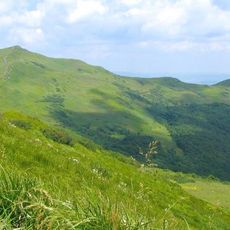
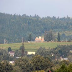
Turka is the administrative center of Sambir Raion, situated where the Stryi and Yablunka rivers converge in the Carpathian foothills of western Ukraine at about 557 meters elevation. The settlement occupies a valley floor surrounded by wooded slopes and connects to surrounding towns through regional roads that wind through the mountain terrain.
The settlement was established in 1431 when King Władysław II Jagiełło granted it to Vancza Valachus. By 1730 the community had received Magdeburg rights, granting it the ability to govern itself and manage its own economic affairs.
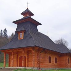
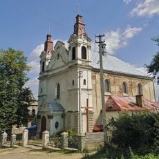
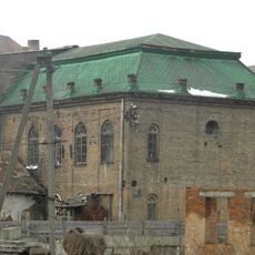
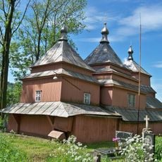
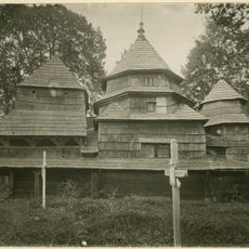
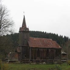
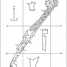
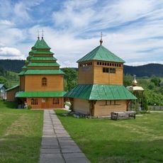
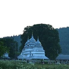
The city is home to two significant churches that remain active places of worship, the Church of St Nicholas and the Assumption of the Blessed Virgin Mary, both central to local community life. These buildings shape the visual character of the settlement and serve as gathering points for residents.
The town provides basic services and shops for everyday needs and supplies. Visitors should note that mountain roads can present varying conditions depending on the season, and winter weather may make access more challenging.
The name Turka may originate from ancient gateway towers that once stood at the settlement's entrance, or from the Ukrainian word for the aurochs animal. This dual possibility reflects the layered history of the place.
The community of curious travelers
AroundUs brings together thousands of curated places, local tips, and hidden gems, enriched daily by 60,000 contributors worldwide.