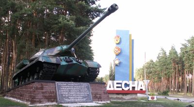
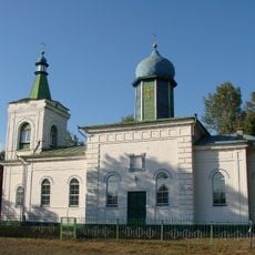
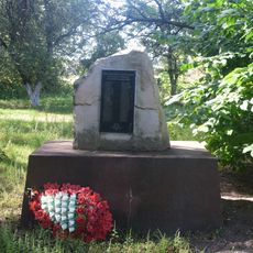
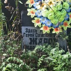
Desna, Kozelets Raion, Military settlement in Chernihiv Oblast, Ukraine.
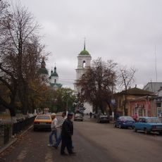
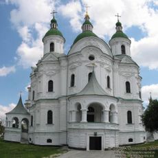
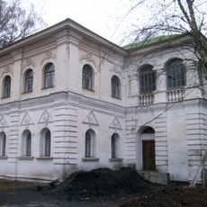
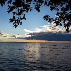
Desna is an urban-type settlement in northern Ukraine located in Chernihiv Oblast, situated at an elevation of about 125 meters above sea level. The community is home to several thousand residents and lies along a significant river valley.
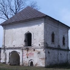
The settlement was established in 1960 as part of Soviet-era development and carried characteristics of that administrative system for decades. When Ukraine gained independence in 1991, the community began a new chapter within the newly formed nation.
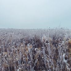
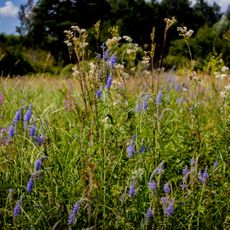
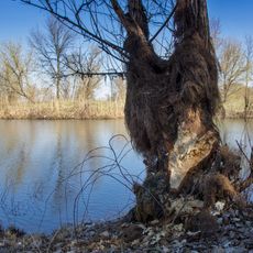
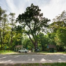
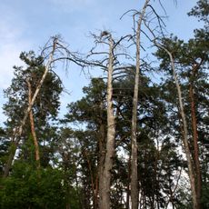
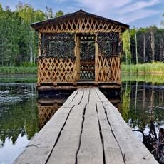
The settlement takes its name from the Desna River, which remains central to how locals experience and understand their surroundings. Water and river life continue to shape the character of daily life here.
The settlement is compact and can be explored easily on foot, especially if you familiarize yourself with the basic layout beforehand. The location makes it convenient for exploring the river landscape and the surrounding region.
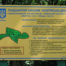
The area is home to a major training facility of the Ukrainian Ground Forces, which occupies a substantial portion of the settlement's land. This military presence has shaped much of the community's character and infrastructure over the years.
Location: Chernihiv Raion
Inception: 1960
Elevation above the sea: 125 m
Website: https://desnyanska-gromada.gov.ua
GPS coordinates: 50.92533,30.77289
Latest update: December 7, 2025 19:29
Kozelets
24 km
Cathedral of the Nativity of the Theotokos
23.7 km
National Nature Park Zalissya
29.3 km
Mizhrichynskyi Regional Landscape Park
13.9 km
St. Michael's Church
7.2 km
Danivka Monastery
29 km
Church of Three Holy Hierarchs
26.8 km
Pokorshchyna
24.4 km
Regimental Office House
23.8 km
Dniprovsko-Desnianskyi Reserve
14 km
Beremytske Nature Park
7.7 km
Church of the Ascension
24.1 km
Oster museum of local history
8.2 km
Kalityanska cottage
30.3 km
Dub Kosachivskyi
16 km
St. Nicholas Church
23.4 km
Danivka Cathedral
29 km
Darahan House
24.8 km
Chernihiv Region Weaving History Museum
23.6 km
Pirnivskyi Reserve
20.8 km
Chernynskyi Reserve
15.7 km
Exaltation of the Holy Cross church in Liubymivka, Vyshhorod Raion
35.5 km
Dimerskyy
27.4 km
Марківецький дуб
35.7 km
Dmitrivsyy
31.7 km
Lubimivskyy
32.2 km
Monument to Soviet soldiers-countrymen
23.9 km
Grave of Fyodor Zharov
23.8 kmVisited this place? Tap the stars to rate it and share your experience / photos with the community! Try now! You can cancel it anytime.
Discover hidden gems everywhere you go!
From secret cafés to breathtaking viewpoints, skip the crowded tourist spots and find places that match your style. Our app makes it easy with voice search, smart filtering, route optimization, and insider tips from travelers worldwide. Download now for the complete mobile experience.
A unique approach to discovering new places❞
— Le Figaro
All the places worth exploring❞
— France Info
A tailor-made excursion in just a few clicks❞
— 20 Minutes