
Yabluniv, urban-type settlement
Location: Kosiv Raion
Elevation above the sea: 351 m
GPS coordinates: 48.40528,24.94167
Latest update: April 21, 2025 07:13
Kosiv Raion
11.2 km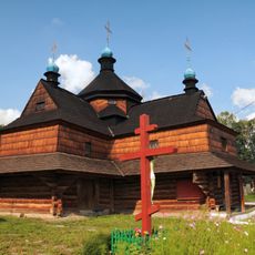
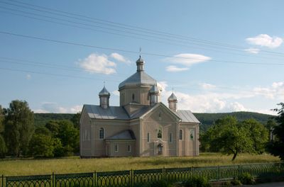
Annunciation church in Kolomyia
14.9 km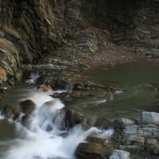
Kosivskyi Huk
14.4 km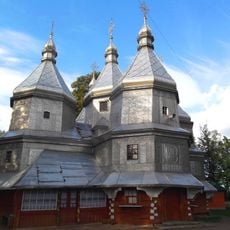
Church of Nativity of the Theotokos, Nyzhnii Verbizh
11.6 km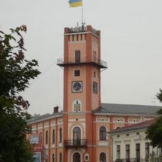
Town hall, Kolomyia
14.1 km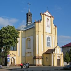
Church of the Dormition, Kolomyia
14.1 km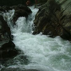
Великий Гук
8.5 km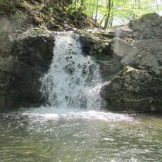
Waterfall on the river Rushir
6.2 km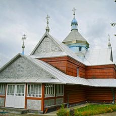
Orthodox church of the Annunciation in Pistyn
8.7 km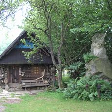
Dovbush museum in Kosmach
12.5 km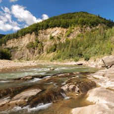
Hutsulshchyna Regional Park
13.2 km
Category:Saint Basil church in Kosiv
15.1 km
Urochyshche Lebedyn
4.9 km
Saint Paraskeva church, Sheshory
9 km
Saint Michael church in Kolomyia
14.1 km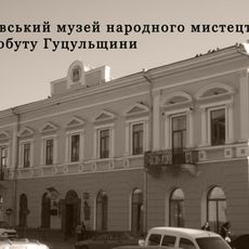
Косівський музей народного мистецтва та побуту Гуцульщини
14.7 km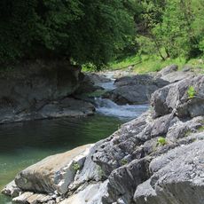
Pistynka River Reserve (Kosiv Raion)
9.3 km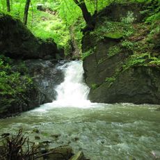
Babyn Waterfalls
14.2 km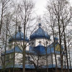
Category:Saints Peter and Paul church in Kosmach
12.4 km
Dendrariy Arboretum
1 km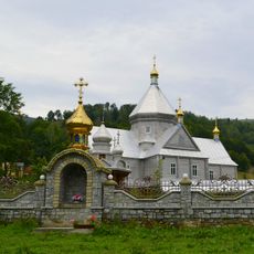
Saint Basil church, Richka
14.1 km
Історико-краєзнавчий музей (Космач)
11.8 km
Horikh Siryi
13.5 km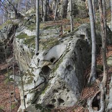
Kamianystyi Hrebet
11.1 km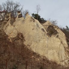
Kosiv mountain
14.4 km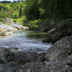
Pistynka River Reserve (Kolomyia Raion)
8.8 km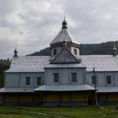
Church of Pentecost, Sokolivka
13.3 km
Saint Stephen church
13.7 kmReviews
Visited this place? Tap the stars to rate it and share your experience / photos with the community! Try now! You can cancel it anytime.
Discover hidden gems everywhere you go!
From secret cafés to breathtaking viewpoints, skip the crowded tourist spots and find places that match your style. Our app makes it easy with voice search, smart filtering, route optimization, and insider tips from travelers worldwide. Download now for the complete mobile experience.

A unique approach to discovering new places❞
— Le Figaro
All the places worth exploring❞
— France Info
A tailor-made excursion in just a few clicks❞
— 20 Minutes