
Kamianka Raion, former raion in Cherkasy Oblast, Ukraine
Location: Cherkasy Oblast
Inception: 1954
Capital city: Kamianka
GPS coordinates: 49.04244,32.04983
Latest update: March 16, 2025 05:23
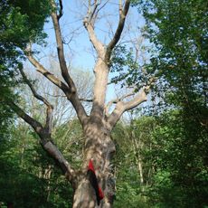
Millennial oak tree of Maksym Zaliznyak
17.6 km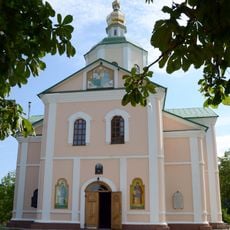
Motroninskiy monastery
19.5 km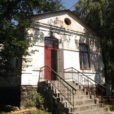
Kapitanivka
27.9 km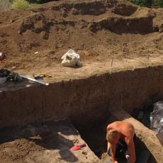
Pastyrske Hill Fort
24.5 km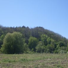
Shaieva hora
25.6 km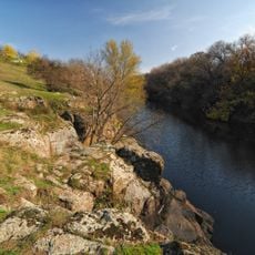
Tiasmyn canyon
2.8 km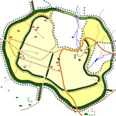
Motronynske Hill Fort
19.1 km
Dekabrystiv Park
3.9 km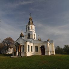
Svi͡ato-Onufriïvsʹkyĭ monastery
19.4 km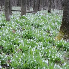
Bilosnizny preserve
20.7 km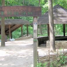
Atamansky park
24.3 km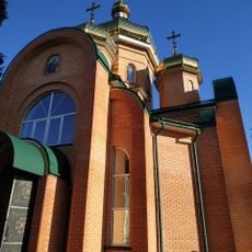
Church of the Nativity of St. John the Baptist (Smila)
25.1 km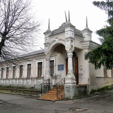
Smila Museum
24.6 km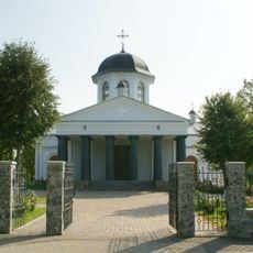
Exaltation of the Holy Cross church, Rozumivka
24.6 km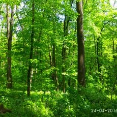
Kholodnyi Yar
19.1 km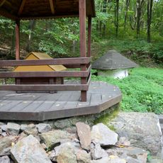
Monastyrske dzherelo
19.5 km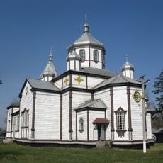
Church of Archangel Michael
8.7 km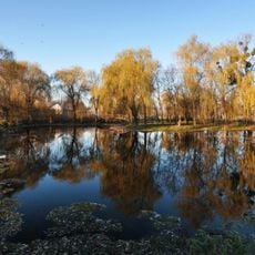
Smila City Park
24.7 km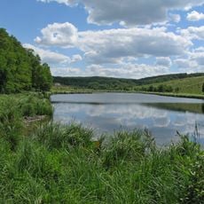
Mykolaivka landscape reserve
27.9 km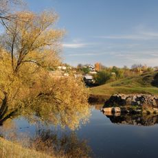
Pushkin Rock
3.2 km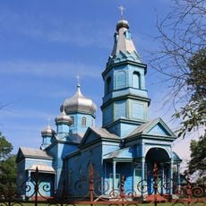
Church of the Assumption
14.8 km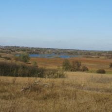
Rozumivska Balka
25.8 km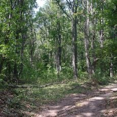
Makiivske Horodishche
27.5 km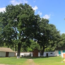
Багатовікові дерева дуба звичайного
24.8 km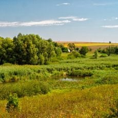
Sharpine
24.3 km
Trostianka
2.7 km
Zamiatnytsky Preserve
26.7 km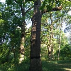
Age Group oaks 2.2
27.2 kmReviews
Visited this place? Tap the stars to rate it and share your experience / photos with the community! Try now! You can cancel it anytime.
Discover hidden gems everywhere you go!
From secret cafés to breathtaking viewpoints, skip the crowded tourist spots and find places that match your style. Our app makes it easy with voice search, smart filtering, route optimization, and insider tips from travelers worldwide. Download now for the complete mobile experience.

A unique approach to discovering new places❞
— Le Figaro
All the places worth exploring❞
— France Info
A tailor-made excursion in just a few clicks❞
— 20 Minutes