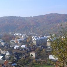
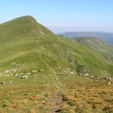
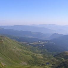
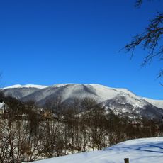
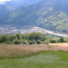
Hora Opets'ka, Mountain summit in Zakarpats'ka Oblast, Ukraine.
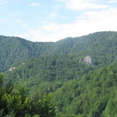
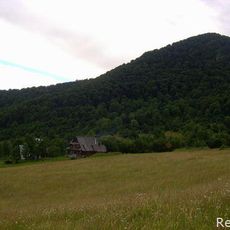
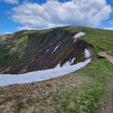
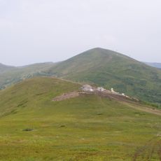
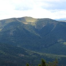
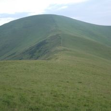
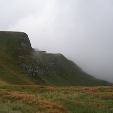
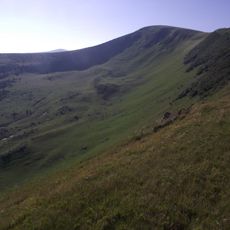
Apećka is an island mountain in the Ukrainian Carpathians, on the border of the Tiachiv and Rakhiv districts of Zakarpatska Oblast, about 8 km east of Dubove. It has several summits, the highest reaching 1511 and 1512 meters. Seen from above, it resembles a giant letter X with arms up to 3 km long. Up to about 1400 meters it is covered with coniferous and beech forests, and above that lie polonynas with blueberry fields.
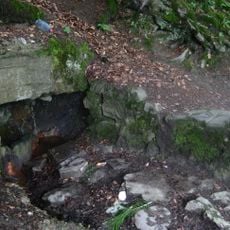
Apećka is an island mountain, not linked to any single ridge or massif, though some writers place it in the Svydovets group. Its name comes from the Romanian word apă, water, because many springs on its slopes feed streams tributary to the Teresva, Velykyi Plavuts and Krainia Rika. In recent years a road was cut to the summits, turning the mountain into a weekend destination reachable even by car or motorcycle.
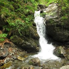
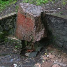
The name comes from Romanian apă, "water", because many springs on the slopes feed streams such as Skurtul, a right tributary of Mala Shopurka, and the sources of the Teresva, Velykyi Plavuts and Krainia Rika. Above about 1,400 m the forest gives way to polonyny with blueberry fields.
A road built in recent years leads to the summits, and even a passenger car or motorcycle can reach them. The mountain lies about 8 km east of Dubove. On clear days Hoverla, 38 km away, and part of Khust, about 50 km away, are visible from the top.
The mountain's name comes from the Romanian word for water, apă, because its slopes hold many springs that feed streams such as Skurtul, a tributary of Mala Shopurka. In clear weather, Hoverla can be seen 38 km away and part of Khust about 50 km away.
The community of curious travelers
AroundUs brings together thousands of curated places, local tips, and hidden gems, enriched daily by 94,426 contributors worldwide.