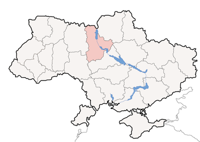
Ivankiv Raion, Administrative district in Kyiv Oblast, Ukraine.
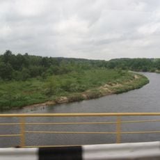
Ivankiv Raion is an administrative district covering northern Kyiv Oblast, centered on the town of Ivankiv with dozens of villages and farms spread across the area. The district provides schools, healthcare facilities, and municipal services to people living within its boundaries.
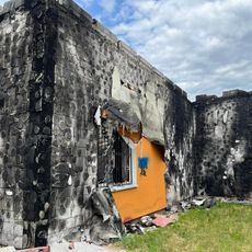
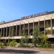
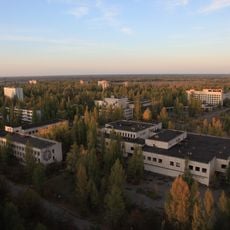
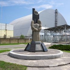
The district was established in 1923 and received additional territory after the Chornobyl disaster in 1986 when evacuated areas were incorporated. This expansion brought parts of the affected zone under the district's administration.
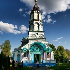
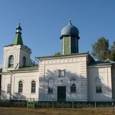
The district maintains a museum where you can see traditional crafts and artworks that reflect how people lived in this northern region. Local traditions and everyday objects tell the story of the community's past.
Most facilities and services are centered in the town of Ivankiv, with fewer resources spread across the villages. Visitors should be aware that some border areas near the Exclusion Zone have restricted access, so always check locally before traveling in those parts.
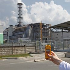
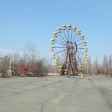
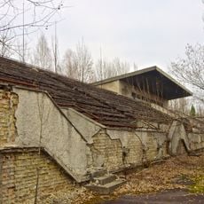
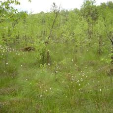
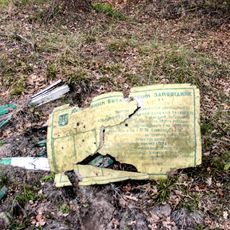
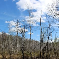
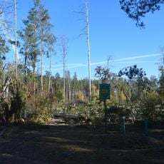
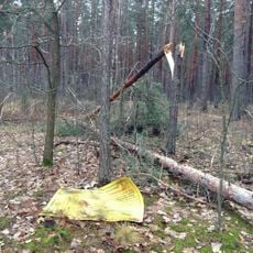
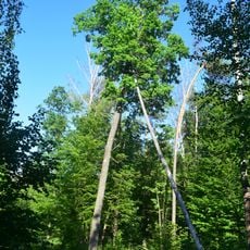
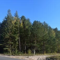
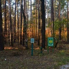
The district borders the Chornobyl Exclusion Zone and manages supervised portions of the restricted territory under State Emergency Service oversight. This puts it at the edge of one of the world's most affected disaster zones, where environmental recovery continues today.
Location: Kyiv Oblast
Inception: March 7, 1923
Capital city: Ivankiv
Shares border with: Narodychi Raion, Malyn Raion
Website: http://kyiv-obl.gov.ua/viewradi.php3?m=23&o1=1
GPS coordinates: 51.12278,30.00389
Latest update: December 7, 2025 20:45
Chernobyl New Safe Confinement
30.4 km
Chernobyl Nuclear Power Plant sarcophagus
30.4 km
Pripyat amusement park
32 km
Ivankiv
22.3 km
Avanhard Stadium
32.2 km
Monument To Those Who Saved the World
22.6 km
Ivankiv Historical and Local History Museum
22.6 km
Palace of Culture Energetik
31.8 km
St. Elias Church
23.3 km
Krasiatychi
26.1 km
Chornobyl Special General Zoological Reserve
24.7 km
Haidamatske Swamp Reserve
28.7 km
Exaltation of the Holy Cross church in Liubymivka, Vyshhorod Raion
29.5 km
Shopping centre in Pripyat
31.7 km
Hlybokyi Lis Reserve
36.5 km
Katyujanske
33.8 km
Dimerskyy
33.6 km
Chyaplya
25 km
Dmitrivsyy
31.9 km
Pine plantations 10.0
27.6 km
Lubimivskyy
32 km
Mixed plantings
31.8 km
Bunk planting
31.6 km
Pine-oak plantations 3.8
24 km
Bunk planting 6.2
32 km
Pine plantations 7.0
27.5 km
Pine plantations 3.8
26.6 km
Chernobyl Sarcophagus Memorial
30.6 kmVisited this place? Tap the stars to rate it and share your experience / photos with the community! Try now! You can cancel it anytime.
Discover hidden gems everywhere you go!
From secret cafés to breathtaking viewpoints, skip the crowded tourist spots and find places that match your style. Our app makes it easy with voice search, smart filtering, route optimization, and insider tips from travelers worldwide. Download now for the complete mobile experience.
A unique approach to discovering new places❞
— Le Figaro
All the places worth exploring❞
— France Info
A tailor-made excursion in just a few clicks❞
— 20 Minutes