Enable Location

We need your location to show you interesting places around you

Discover nearby places

Find interesting locations and hidden gems around you

Precise directions

Get accurate directions and distances to places

Your location is never shared with other users. It's only used when you tap the location button.

Spitalfields

Log in to your account

Start exploring — it's free

Trusted by 61,451 travelers worldwide

Continue with Google
Continue with Apple
or

We will send you a code to connect

By continuing, you accept our Terms and Conditions and our Privacy Policy

Check your inbox

We've sent a pincode in your inbox. Please enter the code below.

Spitalfields

Spitalfields, Historic district in East London, England

Description

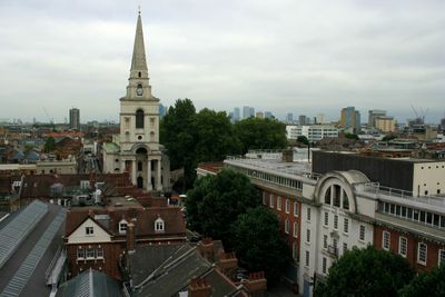
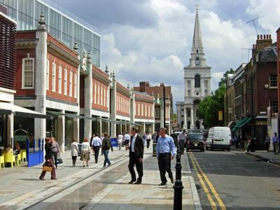
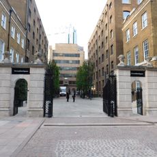
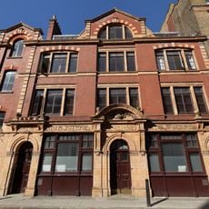
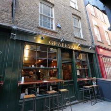
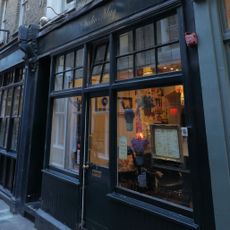
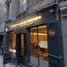
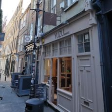
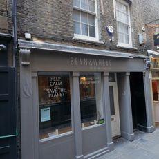
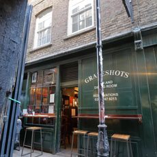
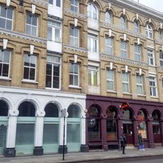
Spitalfields is a neighborhood in East London that covers several small streets lined with shops, restaurants, and market halls between Bishopsgate and Brick Lane. The area stretches north to Commercial Street and shows a mix of Georgian townhouses, brick warehouses, and modern glass buildings added in recent decades.

History

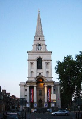
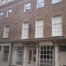
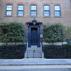
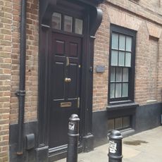
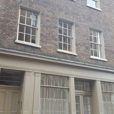
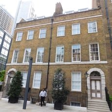
The name comes from a medieval hospital and priory founded in 1197 that once stood on this site and was dissolved in the 16th century. Huguenot weavers settled in the houses around Fournier Street after 1685 and brought their silk-making skills, which shaped the neighborhood until the 19th century.

Culture

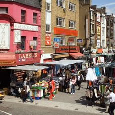
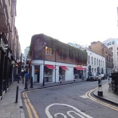
The local shops carry Bengali names and sell fabrics, spices, and clothing brought by the Bangladeshi community that settled here from the 1970s onward. Visitors see mosques standing beside Victorian buildings and can sample food from different cultures at the Sunday street markets that have shaped this part of London for centuries.

Practical

Visitors reach the area through Liverpool Street station, which lies a few walking minutes to the west and connects to underground and mainline trains. Most shops and markets open daily, with street stalls busiest on weekends when extra vendors turn up.

Did you know?

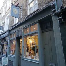
In one of the old weaver houses, the rooms remain unchanged since the 18th century, with candles, beds, and tables arranged as if the residents just left. The upper-floor windows are larger than usual because weavers sat at their looms there and needed plenty of daylight to work.

Shares border with
Bethnal Green
GPS coordinates
51.51660,-0.07500
Latest update
December 13, 2025 16:58

AroundUs brings together thousands of curated places, local tips, and hidden gems, enriched daily by 60,000 contributors worldwide. Discover all places nearby (London Borough of Tower Hamlets).

« Spitalfields - Historic district in East London, England » is provided by Around Us (aroundus.com). Images and texts are derived from Wikimedia project under a Creative Commons license. You are allowed to copy, distribute, and modify copies of this page, under the conditions set by the license, as long as this note is clearly visible.

Discover hidden gems everywhere you go!

From secret cafés to breathtaking viewpoints, skip the crowded tourist spots and find places that match your style. Our app makes it easy with voice search, smart filtering, route optimization, and insider tips from travelers worldwide. Download now for the complete mobile experience.

Around Us App Screenshot

A unique approach to discovering new places

Le Figaro

All the places worth exploring

France Info

A tailor-made excursion in just a few clicks

20 Minutes

Around Us
Travel Guide & Maps
Download

Send to your phone

QR Code
1

Open the camera app on your mobile.

2

Point at the QR code with your camera. A notification will appear.

3

Tap the notification to open the link.