Isle of Dogs, Peninsula in East London, United Kingdom.
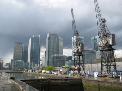
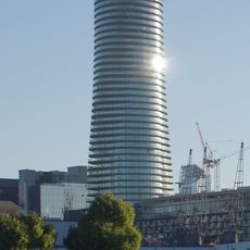
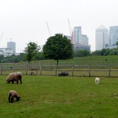
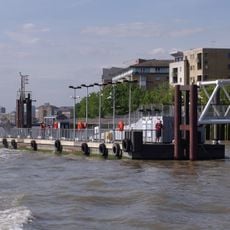
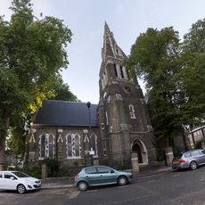
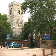
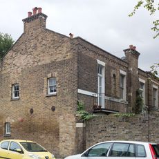
Isle of Dogs is a peninsula in East London enclosed by the River Thames on three sides, with its northern section dominated by the high-rise towers of the Canary Wharf financial district. The southern part feels quieter and shows lower-rise buildings with housing estates, small parks and waterside promenades along the former dock basins.
This place developed from the 16th century onward as a port area for shipping and remained a center for docks and warehouses until the 1970s. After the decline of the port facilities, large-scale redevelopment began in the 1980s, creating the financial district and reshaping the entire peninsula.
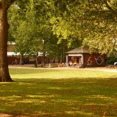
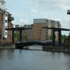
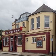
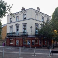
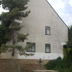
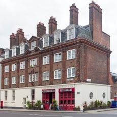
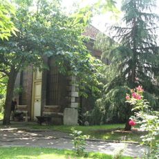
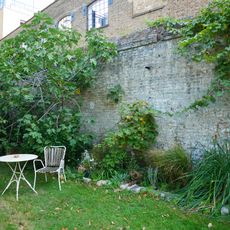
This area mixes housing estates with office towers, while the southern part retains rows of terraced houses and council flats beside newer apartment blocks. Locals use the former dock basins for jogging, cycling and walking along the waterside paths that thread between streets.
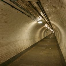
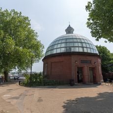
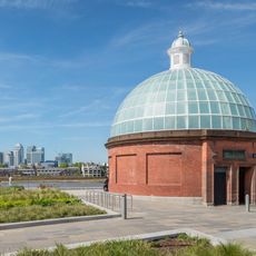
Access is available through several stations on the Docklands Light Railway, which runs along the peninsula and connects to different parts of the city with short waiting times. Those arriving on foot can use the tunnel under the Thames, which starts on the southern bank near Greenwich and provides a direct route.
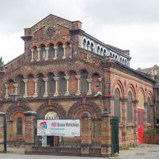
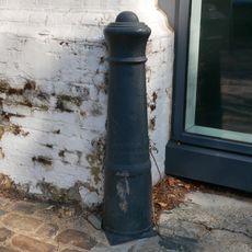
The name may come from hunting dogs that once chased ducks in this marsh, or from dock markers that looked like paw prints. Some streets still show old crane hooks and bollards from the time when ships tied up directly beside the warehouses.
The community of curious travelers
AroundUs brings together thousands of curated places, local tips, and hidden gems, enriched daily by 60,000 contributors worldwide.