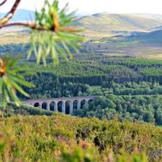
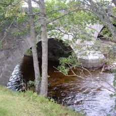
River Spey, River in northeastern Scotland
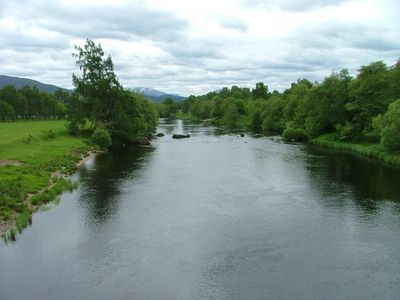
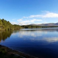
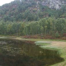
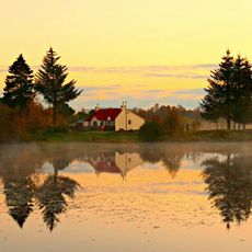
The River Spey is a river in northeastern Scotland that flows from the Corrieyairack Forest through the Highlands before reaching the North Sea near Buckie. The river creates a complex system with wetlands and forested sections along its path to the sea.
The river appears in ancient maps by the Roman geographer Ptolemy around 150 AD under the name Tuesis, showing it was known long before modern times. This early mention indicates the region held importance in ancient geographical knowledge.
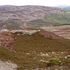
The Speyside region along the river holds the highest concentration of whisky distilleries in Scotland, shaping the national spirits industry. You can see these distilleries dotting the valley, defining both the landscape and the local economy.
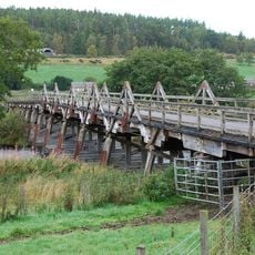
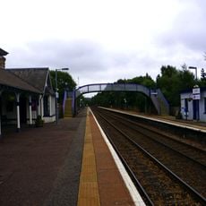
The Speyside Way walking path runs along the river from Newtonmore to the Moray Firth, offering several access points for hiking and nature watching. The path is split into sections, so you can explore different parts depending on your time and interests.
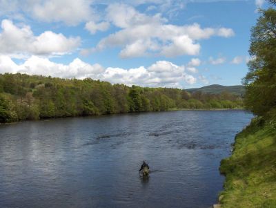
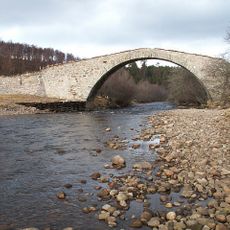
The river flows with high speed and steep gradient, making it one of the fastest in Scotland and creating conditions suitable for salmon migration. These features attract fishermen and make the area notable for its role in the fish's annual journey.
The community of curious travelers
AroundUs brings together thousands of curated places, local tips, and hidden gems, enriched daily by 60,000 contributors worldwide.