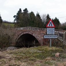
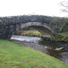
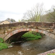
Cumberland, Historic county in northwestern England
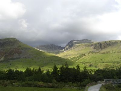
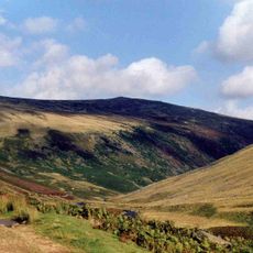
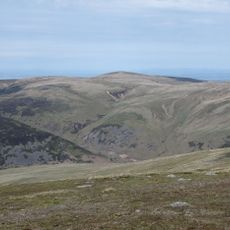
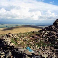
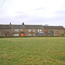
Cumberland is a historic county in northwestern England, stretching from the Solway Firth to the Irish Sea. The landscape includes mountains, deep valleys, and the northern part of the Lake District.
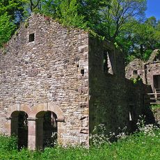
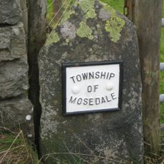
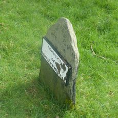
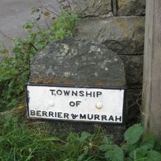
The county emerged around the 10th century when Anglo-Saxon kings organized the region. Later the area became contested between England and Scotland until it definitively became part of England.
The name comes from the Celtic Cymru, referring to the early inhabitants of this area. Today their influence remains visible in place names and dialects spoken across the valleys.
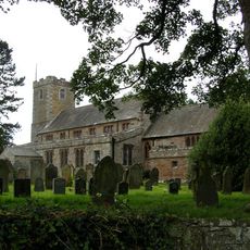
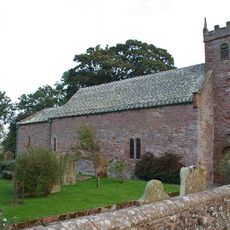
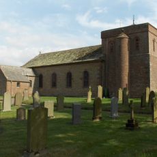
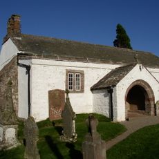
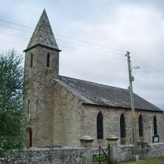
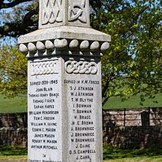
Archives across the region hold church registers and documents about family history. Access to these collections is available at several locations, usually by appointment.
The western coast was a center of coal mining in the 18th century, when ports like Whitehaven exported coal across Europe. Old mining structures still shape the coastal landscape today.
Location: England
Part of: England
Shares border with: Dumfriesshire, Roxburghshire, Northumberland, County Durham, Westmorland, Lancashire
GPS coordinates: 54.75000,-3.00000
Latest update: December 12, 2025 21:06
Rose Castle
6.4 km
Carrock Fell
6.5 km
High Head Castle
5.7 km
High Pike
6.2 km
St Kentigern's Church, Caldbeck
3.2 km
Brae Fell
8.3 km
Church of St Mary
2.1 km
Church of All Saints
6.1 km
Church of St Kentigern, Castle Sowerby
4.4 km
Holy Trinity Church
8.8 km
Bell Bridge
3.2 km
Sebergham Bridge
1.9 km
Whelpo Bridge
4.9 km
The Howk Bobbin Mill
3.8 km
Stockdalewath Bridge
6 km
Raughton Head War Memorial
6.1 km
Boundary Stone
6.6 km
Warnell Hall
1.6 km
Gate With Flanking Lodge And Tower, To North Of Rose Castle
6.5 km
Scales Hall And Barn Adjoining
6.8 km
Boundary Stone At West End Of Low Mill Bridge
7.5 km
Boundary Stone South Of Low Mill
7.4 km
Boundary Stone At East End Of Low Mill Bridge
7.5 km
Boundary Stone (East Of Brothybeck)
3.7 km
Hesket Hall Farmhouse
2.2 km
Friends' Meeting House And Adjoining Stables
7.7 km
High Head Castle Eighteenth Century Wing
5.7 km
Boundary Stone West Of Entrance To Low Mill Farmhouse
7.4 kmVisited this place? Tap the stars to rate it and share your experience / photos with the community! Try now! You can cancel it anytime.
Discover hidden gems everywhere you go!
From secret cafés to breathtaking viewpoints, skip the crowded tourist spots and find places that match your style. Our app makes it easy with voice search, smart filtering, route optimization, and insider tips from travelers worldwide. Download now for the complete mobile experience.
A unique approach to discovering new places❞
— Le Figaro
All the places worth exploring❞
— France Info
A tailor-made excursion in just a few clicks❞
— 20 Minutes