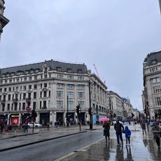
Oxford Street, Shopping street in West End, England
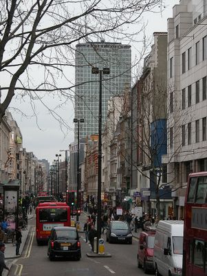
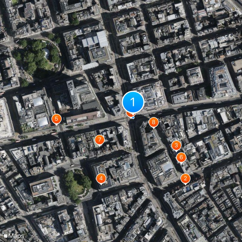
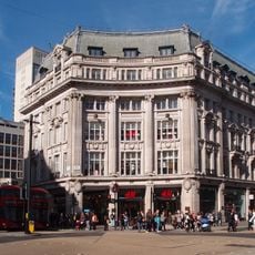
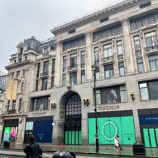
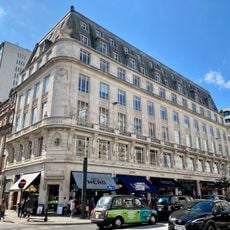
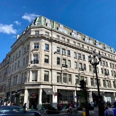
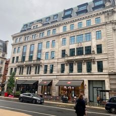
Oxford Street is a shopping thoroughfare in the West End of London that runs 1.5 miles (2.4 km) between Tottenham Court Road and Marble Arch, housing over 300 shops. The route follows a straight line westward, with department stores and chain outlets on both sides and junctions marked by Underground stations.
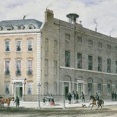
A Roman road once ran here heading west, and by the 15th century the route became a main coaching link to Oxford. Shops began to appear in the 18th century, and during the 20th century the street transformed into one of Europe's principal retail zones.
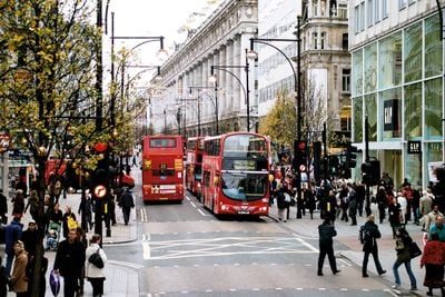
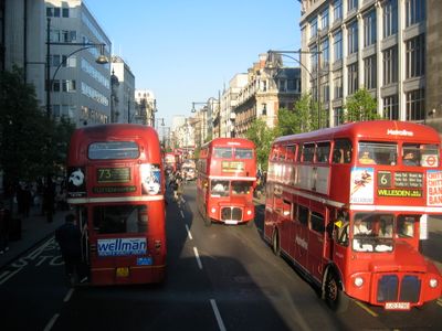
The name comes from an old route that once led to the university town, and today shopfronts line both sides while buses and taxis roll past the pavement. People stream into windows, sit on benches between entrances, and wait at crossings that set the rhythm of the street.
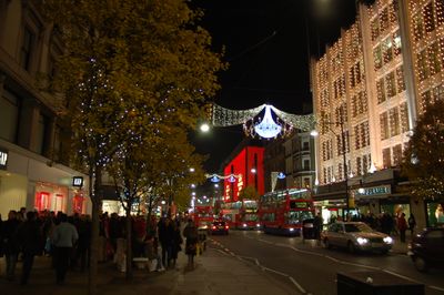
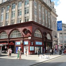
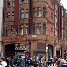
Several Underground stations lie along the route, including Oxford Circus, Bond Street, Tottenham Court Road and Marble Arch, all offering access to the shops. The street is heavily used during the day, so it can be easier to visit early morning or late evening when fewer people are around.
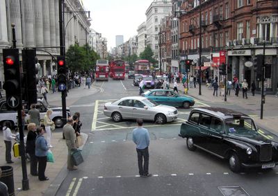
Around half a million visitors come here each day, more than to any other shopping destination in Europe. Cars are not allowed on the street, only buses and taxis pass through the junctions between the pedestrians.
The community of curious travelers
AroundUs brings together thousands of curated places, local tips, and hidden gems, enriched daily by 60,000 contributors worldwide.