West Bromwich, Industrial town in Sandwell, England
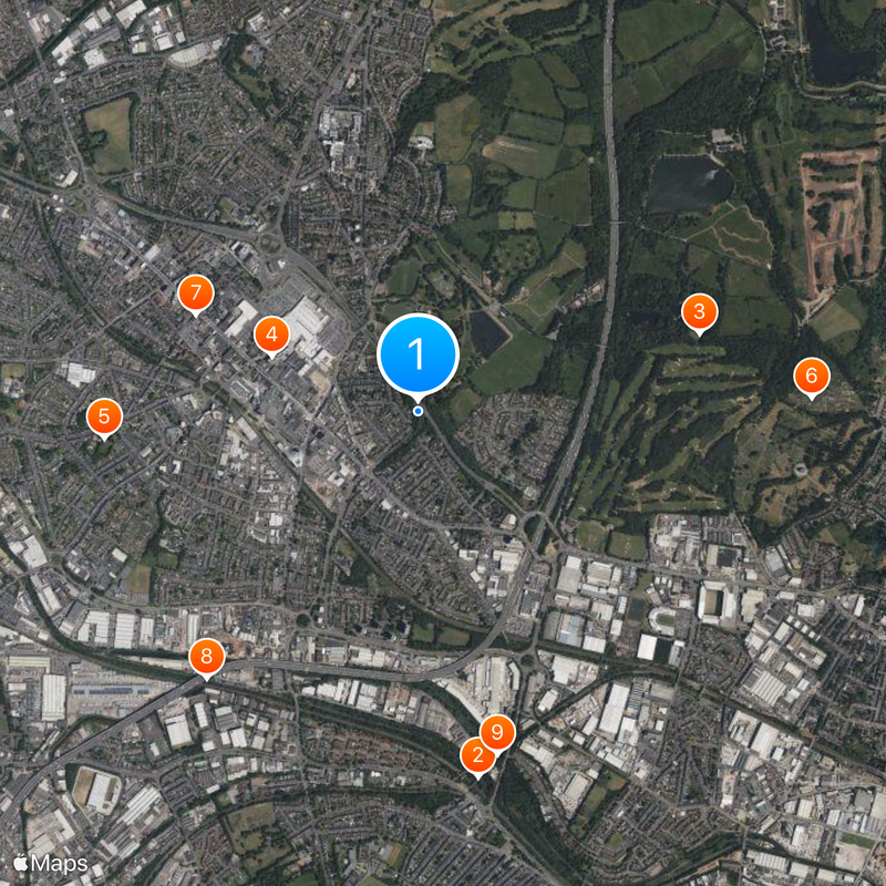
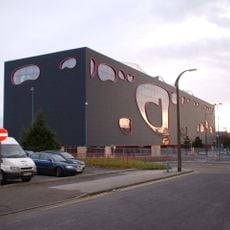
West Bromwich lies in the middle of England and belongs to the Sandwell administrative area, about five miles northwest of Birmingham. The place combines housing estates with shopfronts, industrial sites and small green spaces across a connected urban area.
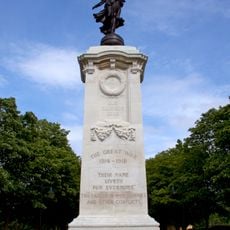
The settlement grew during the 19th century through coal mining and metalworking from a village into an industrial center. Factories and foundries shaped the landscape and brought thousands of workers into the region.
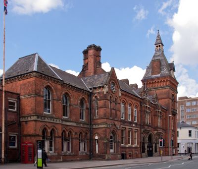
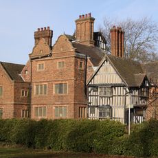
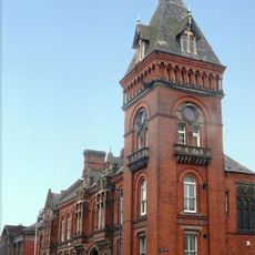
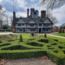
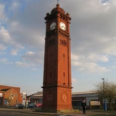
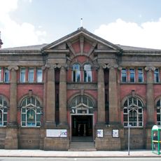
The name comes from a woodland called Bromwich and has been spelled in different ways over the centuries. Today the past shows in the wide streets with old commercial buildings and small shops in the center.
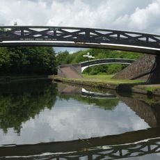
The town area is linked to Birmingham and Wolverhampton by the West Midlands Metro light rail system. Many stops sit in the center and outer neighborhoods, so moving around on foot and by tram is straightforward.
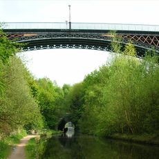
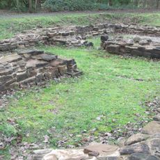
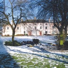
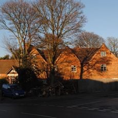
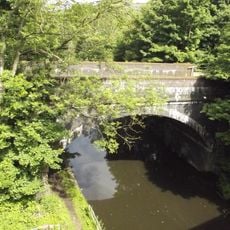
A country park of about 660 acres (270 hectares) lies within the town boundary and offers working farms, trails and sports areas for visitors. You can meet open meadows and clusters of trees there in the midst of the built surroundings.
Location: Sandwell
GPS coordinates: 52.51667,-1.98333
Latest update: December 4, 2025 19:04
Galton Bridge
1.7 km
Sandwell Priory
1.3 km
The Public
704 m
Oak House, West Bromwich
1.4 km
Mortuary Chapel, Handsworth Cemetery
1.8 km
West Bromwich Town Hall
1.1 km
Stewart Aqueduct
1.5 km
Summit Bridge
1.6 km
Spon Lane Locks Branch
1.6 km
Church of St. Andrew, West Bromwich
1.8 km
Sot's Hole Local Nature Reserve
1.4 km
Oak House Museum
1.4 km
Farley Clock Tower
1.7 km
Bluebell
1.2 km
Sot's Hole gate
1.2 km
Dartmouth Park
450 m
Footbridge Over Old Main Line At Bromford Junction, (Approximately 40 Metres) West Of Spon Lane Locks Birmingham Canal Wolverhampton Level
1.8 km
Sandwell War Memorial
530 m
Highfields
1.2 km
West Bromwich Library
1.1 km
Hill House
1.2 km
Footbridge Over New Main Line At Bromford Junction, 20 Metres South Of Bottom Lock, Spon Lane Locks Birmingham Canal Birmingham Level
1.8 km
Arch Lodge And Flanking Wall (Junction 1 M5 Motorway And A41)
842 m
Top Lock, Spon Lane Locks, With Attached Footbridge Birmingham Canal Wolverhampton Level
1.4 km
Railway Bridge 15 Metres North Of Summit Bridge/Roebuck Lane Birmingham Canal Wolverhampton Level
1.6 km
Post box B21 145D
1.8 km
Post box B71 46
1 km
Astle Gates
1.6 kmReviews
Visited this place? Tap the stars to rate it and share your experience / photos with the community! Try now! You can cancel it anytime.
Discover hidden gems everywhere you go!
From secret cafés to breathtaking viewpoints, skip the crowded tourist spots and find places that match your style. Our app makes it easy with voice search, smart filtering, route optimization, and insider tips from travelers worldwide. Download now for the complete mobile experience.
A unique approach to discovering new places❞
— Le Figaro
All the places worth exploring❞
— France Info
A tailor-made excursion in just a few clicks❞
— 20 Minutes