Enable Location

We need your location to show you interesting places around you

Discover nearby places

Find interesting locations and hidden gems around you

Precise directions

Get accurate directions and distances to places

Your location is never shared with other users. It's only used when you tap the location button.

Whitehall

Log in to your account

Start exploring — it's free

Trusted by 61,438 travelers worldwide

Continue with Google
Continue with Apple
or

We will send you a code to connect

By continuing, you accept our Terms and Conditions and our Privacy Policy

Check your inbox

We've sent a pincode in your inbox. Please enter the code below.

Whitehall

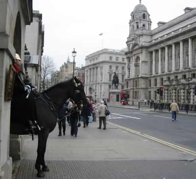
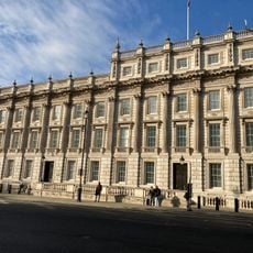
Whitehall, Government avenue in City of Westminster, England

Description

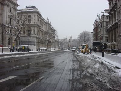
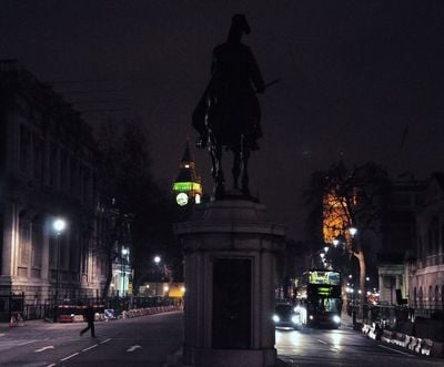
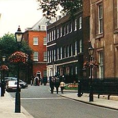
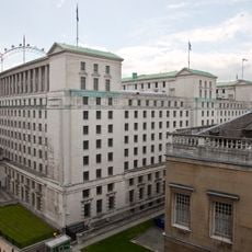
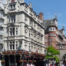
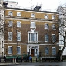
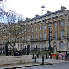
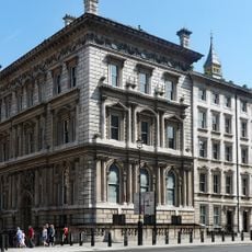
Whitehall is a street about 0.4 miles long in the City of Westminster, running from Trafalgar Square to Parliament Square and lined with government ministries and administrative offices. The road cuts through the center of Britain's government district, where civil servants move between buildings and tourists pause to photograph some of the country's most recognized institutions.

History

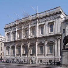
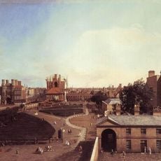
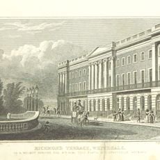
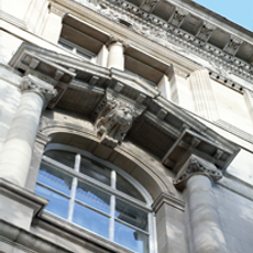
The Palace of Whitehall served as the main residence of English monarchs from the 16th century until the late 1690s and gave the street its name. A major fire in 1698 destroyed most of the palace complex, leaving only the Banqueting House with its ceiling paintings by Peter Paul Rubens.

Culture

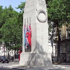
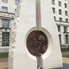
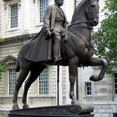
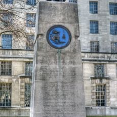
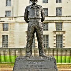
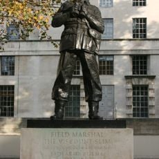
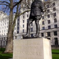
The street name recalls a royal palace that once dominated this area for more than 150 years and served as the political heart of England. The Cenotaph war memorial at its center becomes the focus of national remembrance ceremonies each November, when officials and the public gather to lay wreaths and honor fallen soldiers.

Practical

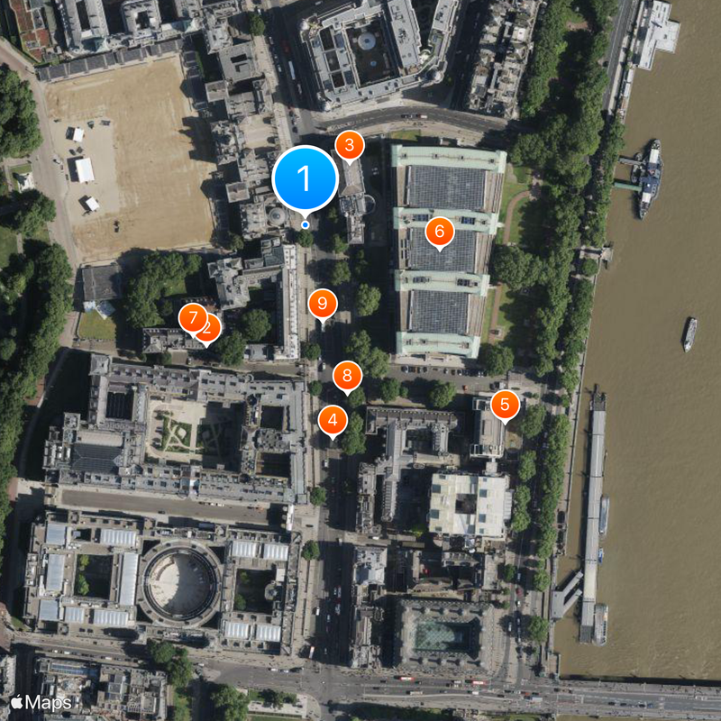
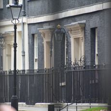
The closest Underground stations are Westminster and Charing Cross, both within a few minutes' walk of the street. Security checkpoints operate near government buildings, so carrying identification is advisable if you plan to enter certain areas or pass through controlled zones.

Did you know?

The Banqueting House is the only surviving building from the former royal palace and holds large ceiling paintings by Peter Paul Rubens from the 17th century. The hall was the setting for important royal banquets and is now open for events and public visits.

Part of
A3212 road
GPS coordinates
51.50417,-0.12639
Latest update
December 12, 2025 20:15

AroundUs brings together thousands of curated places, local tips, and hidden gems, enriched daily by 60,000 contributors worldwide. Discover all places nearby (City of Westminster).

« Whitehall - Government avenue in City of Westminster, England » is provided by Around Us (aroundus.com). Images and texts are derived from Wikimedia project under a Creative Commons license. You are allowed to copy, distribute, and modify copies of this page, under the conditions set by the license, as long as this note is clearly visible.

Discover hidden gems everywhere you go!

From secret cafés to breathtaking viewpoints, skip the crowded tourist spots and find places that match your style. Our app makes it easy with voice search, smart filtering, route optimization, and insider tips from travelers worldwide. Download now for the complete mobile experience.

Around Us App Screenshot

A unique approach to discovering new places

Le Figaro

All the places worth exploring

France Info

A tailor-made excursion in just a few clicks

20 Minutes

Around Us
Travel Guide & Maps
Download

Send to your phone

QR Code
1

Open the camera app on your mobile.

2

Point at the QR code with your camera. A notification will appear.

3

Tap the notification to open the link.