Chest opened
+${chestReward.xp} XP
Explorer
NOUVEAU ×${chestReward.collectible.quantity}
tapez pour fermer
Chest locked

Open chests in the app

Around Us is built for your phone — chests unlock when you walk, explore and capture nearby places.

Enable Location

We need your location to show you interesting places around you

Discover nearby places

Find interesting locations and hidden gems around you

Precise directions

Get accurate directions and distances to places

Your location is never shared with other users. It's only used when you tap the location button.

Trough of Bowland

Log in to your account

Start exploring — it's free

Trusted by 73,018 travelers worldwide

Continue with Google
Continue with Apple
or

We will send you a code to connect

By continuing, you accept our Terms and Conditions and our Privacy Policy

Check your inbox

We've sent a pincode in your inbox. Please enter the code below.

Trough of Bowland
Discussion Reviews 1 Photos
11.7k Popularity

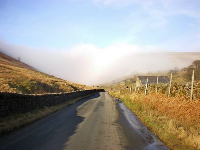
Trough of Bowland, Mountain pass in Bowland Forest High, England.

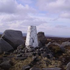
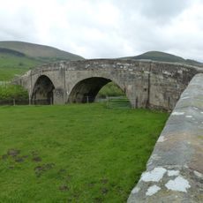
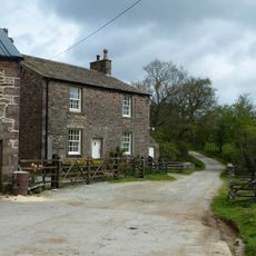
The Trough of Bowland is a mountain pass cutting through a steep valley in northern England, connecting Lancaster with the higher moorlands near Dunsop Bridge. The road rises to about 295 meters and follows water channels carved naturally through the terrain.

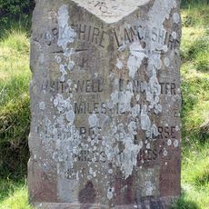
The pass formed as a natural route between administrative regions and gained darker significance in the early 1600s. In 1612, the path was used to transport accused individuals from Pendle to trial proceedings at Lancaster Castle.

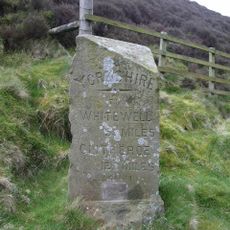
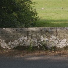
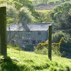
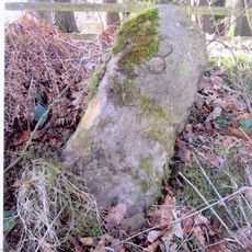
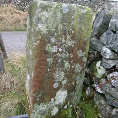
This crossing has long served as a route between two regions, shaping how people in the valley connected with neighboring communities. The landscape itself became a reference point for locals navigating the hills.

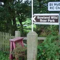
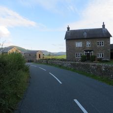
The road is narrow and winds steeply through the valley, so drive carefully and expect to meet other vehicles on tight sections. Several small parking areas line the route for hikers and visitors wanting to explore the surroundings on foot.

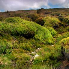
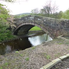
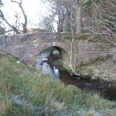
The streams flowing through the pass do more than feed local watermills—they supply drinking water to a major city through intake systems built during the 1920s. This engineering feat remains largely unnoticed by visitors passing through the valley.

The community of curious travelers

AroundUs brings together thousands of curated places, local tips, and hidden gems, enriched daily by 60,000 contributors worldwide.

Start exploring
Elevation above the sea
295 m
GPS coordinates
53.96920,-2.57083
Latest update
December 7, 2025 20:49
Reviews
Share your experience

No review yet

Discussions
Start a discussion...

No discussion yet

« Trough of Bowland - Mountain pass in Bowland Forest High, England » is provided by Around Us (aroundus.com). Images and texts are derived from Wikimedia project under a Creative Commons license. You are allowed to copy, distribute, and modify copies of this page, under the conditions set by the license, as long as this note is clearly visible.

Discover hidden gems everywhere you go!

From secret cafés to breathtaking viewpoints, skip the crowded tourist spots and find places that match your style. Our app makes it easy with voice search, smart filtering, route optimization, and insider tips from travelers worldwide. Download now for the complete mobile experience.

Around Us App Screenshot

A unique approach to discovering new places

Le Figaro

All the places worth exploring

France Info

A tailor-made excursion in just a few clicks

20 Minutes

Around Us
Travel Guide & Maps
Download

Send to your phone

QR Code
1

Open the camera app on your mobile.

2

Point at the QR code with your camera. A notification will appear.

3

Tap the notification to open the link.