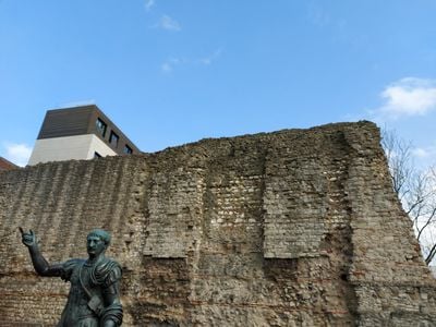
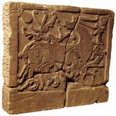
London Wall, Roman defensive wall in City of London, United Kingdom.
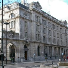
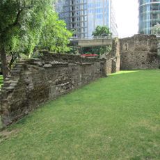
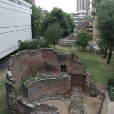
London Wall surrounded the historic City of London as a Roman fortification with sections up to six meters tall and three meters wide. The structure ran from what is now Tower Hill to the western edge of the settlement, enclosing roughly 330 acres (130 hectares).
Work on the defensive structure began around 200 CE, enclosing the Roman settlement of Londinium with five main gates leading to major Roman roads. After the Romans withdrew, the Saxons extended the fortification, and medieval builders renewed it several times.
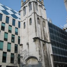
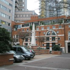
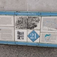
The fortification's gates shaped the medieval city's layout, and their names still appear on street signs across the financial district today. Visitors can trace how these passageways channeled trade and urban life over centuries.
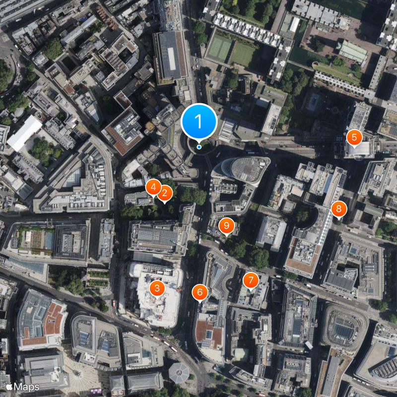
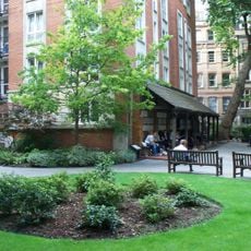
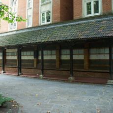
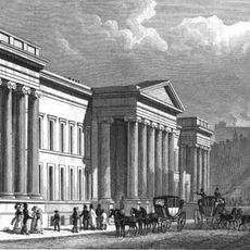
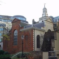
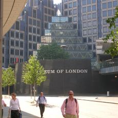
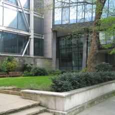
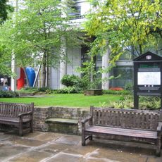
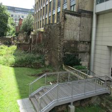
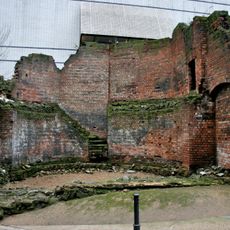
Preserved sections appear at Tower Hill, Noble Street, and the Barbican area, with the Museum of London providing dedicated viewpoints. Most spots sit outdoors and can be reached on foot, while some covered areas remain accessible during rain.
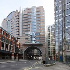
A car park beneath London Wall street displays original sections of the Roman fortification open to the public. The combination of modern daily life and ancient architecture surprises visitors walking among parked vehicles.
Location: City of London
GPS coordinates: 51.51750,-0.09694
Latest update: December 12, 2025 22:11
Postman's Park
92 m
BT Centre
220 m
Memorial to Heroic Self-Sacrifice
95 m
125 London Wall
218 m
General Post Office, London
217 m
Goldsmiths' Hall
213 m
St Alban, Wood Street
220 m
St Anne and St Agnes
130 m
200 Aldersgate
59 m
St Botolph's Aldersgate
54 m
St John Zachary
183 m
King Edward Building
190 m
St Mary Staining
161 m
St Olave Silver Street
116 m
Monkwell Square
208 m
English Runic Inscription 2
38 m
Statue of Rowland Hill
184 m
Fountain
220 m
London Wall: section of Roman and medieval wall and bastion at Noble Street
104 m
London Wall: the west gate of Cripplegate fort and a section of Roman wall in London Wall underground car park, adjacent to Nobl
106 m
London Wall: section of Roman and medieval wall and bastions, west and north of Monkwell Square
166 m
Aldersgate Flame
46 m
London Wall: section of Roman wall and Roman, medieval and post-medieval gateway at Aldersgate
90 m
Gate And Railings To Former Churchyard Of Church Of St Botolph
69 m
General Post Office North
122 m
Police Call Box At North East Angle Of Number 1
78 m
General Post Office New Building
216 m
Bastion 14, London Wall
125 mVisited this place? Tap the stars to rate it and share your experience / photos with the community! Try now! You can cancel it anytime.
Discover hidden gems everywhere you go!
From secret cafés to breathtaking viewpoints, skip the crowded tourist spots and find places that match your style. Our app makes it easy with voice search, smart filtering, route optimization, and insider tips from travelers worldwide. Download now for the complete mobile experience.
A unique approach to discovering new places❞
— Le Figaro
All the places worth exploring❞
— France Info
A tailor-made excursion in just a few clicks❞
— 20 Minutes