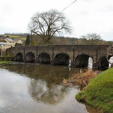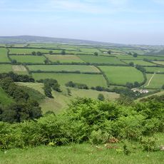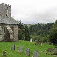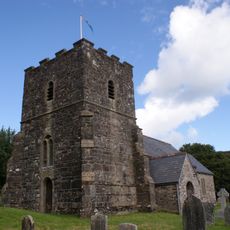
Exmoor, National park and former royal hunting forest in Somerset and North Devon, United Kingdom
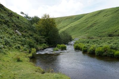
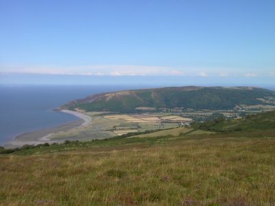
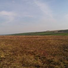
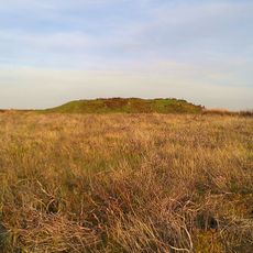
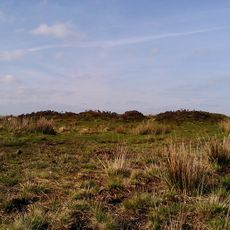
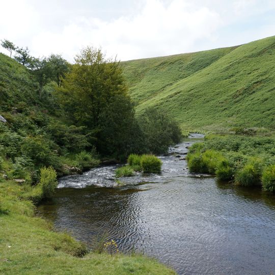
Exmoor is a national park and former royal forest in west Somerset and north Devon, southwest England. Its 692.8 km² take in the Brendon Hills, the East Lyn Valley, the Vale of Porlock and 55 km of Bristol Channel coast. The moorland rises to Dunkery Beacon at 519 m, Somerset's highest point, and its sedimentary rocks date from the Devonian and early Carboniferous.
Foresters managing Exmoor are named in the Domesday Book of the 11th century, and the royal forest received a charter in the 13th century. The Crown's 18,810 acres were surveyed in 1815–1818 and sold into private hands in 1818. Exmoor was designated a National Park in 1954 under the 1949 National Parks and Access to the Countryside Act.
The Exmoor pony, recorded in medieval manuscripts, represents one of Britain's oldest horse breeds and continues to roam freely across the moorland. These hardy animals are a living part of the landscape that visitors often observe while walking the paths.
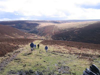
The B3223 route provides access to numerous parking areas and trailheads, connecting visitors to an extensive network of walking paths. The terrain can be steep and wet, so sturdy footwear and weatherproof clothing are advisable in any season.
The park holds status as an International Dark Sky Reserve, with minimal light pollution allowing clear views of the Milky Way and celestial objects. On moonless nights, thousands of stars appear above the dark hills and valleys.
The community of curious travelers
AroundUs brings together thousands of curated places, local tips, and hidden gems, enriched daily by 95,014 contributors worldwide.