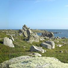
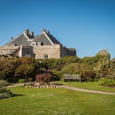
Western Rocks, Island group and Site of Special Scientific Interest in Isles of Scilly, United Kingdom.
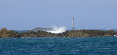
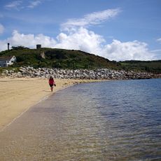
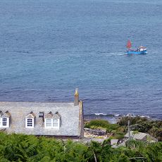
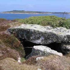
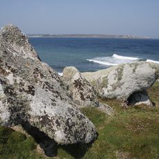
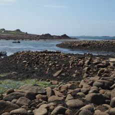
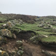
Western Rocks is a cluster of granite outcrops sitting in the open Atlantic, at the southwestern tip of the Isles of Scilly off Cornwall. The rocks rise sharply from the sea and form a scattered reef that partially exposes at low tide, surrounded by strong currents.
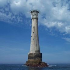
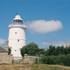
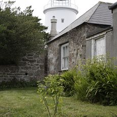
These rocks were long considered one of the most dangerous points on the approach to England, with many ships wrecked here over the centuries. The number of losses in the area eventually led to the construction of the Bishop Rock Lighthouse nearby, which helped guide vessels clear of the reef.
The rocks are well known among birdwatchers, as large colonies of gannets and puffins gather here during the breeding season. Boat trips that pass close by give visitors a rare chance to watch seabirds at very close range.
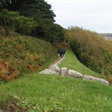
Access is only possible by boat from the Isles of Scilly, and weather together with tides will decide whether a close approach is safe on any given day. Leaving a few free days in your schedule gives you the best chance of getting out when conditions allow.
Beneath the rocks lie the remains of several shipwrecks, including the steamer Schiller, which sank in 1875 with the loss of nearly 300 lives. Divers still visit the area today to explore the wrecks, which remain largely intact on the seabed.
The community of curious travelers
AroundUs brings together thousands of curated places, local tips, and hidden gems, enriched daily by 60,000 contributors worldwide.