Arnold, town in Gedling, Nottinghamshire, UK; part of the Nottingham conurbation
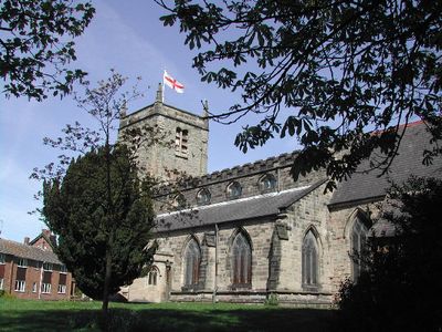
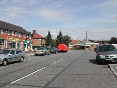
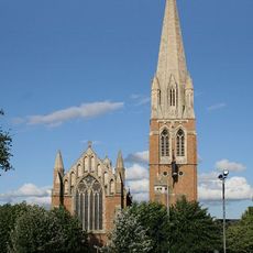
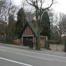
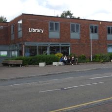
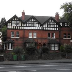
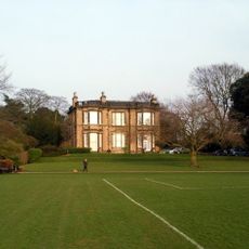
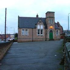
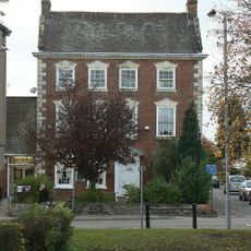
Arnold is a small market town in the borough of Gedling, Nottinghamshire, England, with a history stretching back many centuries. The town features an active high street lined with shops and cafés, a weekly market selling fresh produce and crafts, and a mix of historic buildings standing alongside modern businesses.
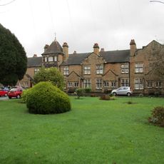
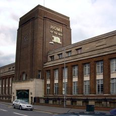
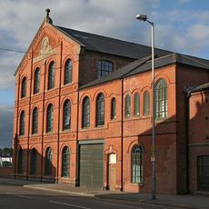
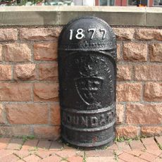
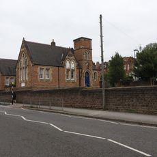
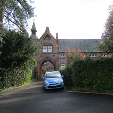
The settlement was recorded in the Domesday Book as "Ernehale" and later developed into a trading center for the surrounding region. The town became shaped by hosiery manufacturing, with factories that once dominated the landscape and whose buildings still mark the townscape today.
Arnold's name has roots in the Domesday Book, where it was recorded as "Ernehale", reflecting the area's ancient past. Today, the town's character shows itself in weekly markets where locals gather to shop, chat with vendors, and maintain the rhythm of community life that has defined the place for generations.
Arnold is easily accessible by car or bus, with parking available throughout the town. The best way to explore is on foot along the high street and market, especially on market days like Tuesday, Friday, and Saturday when most stalls are active.
Arnold played an unexpected role in labor history, as it was the site of early machine protests in 1811 that were connected to the Luddites. These events show how a small manufacturing town like this responded early to changes brought by factories.
The community of curious travelers
AroundUs brings together thousands of curated places, local tips, and hidden gems, enriched daily by 60,000 contributors worldwide.