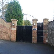
Hoo St Werburgh, Administrative division in Medway, England
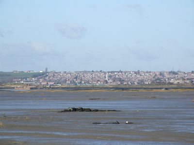
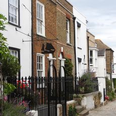
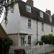
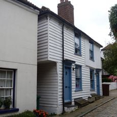
Hoo St Werburgh is an administrative division on the Hoo Peninsula in Kent, comprising residential areas, schools, and local facilities spread across the landscape. The area sits on relatively flat terrain with a mix of established neighborhoods and newer developments.
This locality traces its roots to a Saxon settlement that appears in the Domesday Book, establishing its long presence in the region. Over centuries it evolved from rural agricultural land into a residential community within the broader Medway area.
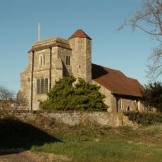
The parish church of St Werburgh displays restored royal hatchments from the Tudor and Stuart periods, serving as tangible reminders of this place's connection to England's monarchy. These painted shields tell stories of the local families who once held influence and their ties to the crown.
The area is governed by Medway Council and is accessible by local bus routes and roads throughout the region. This is primarily a residential area, so the best way to explore is on foot or by car through the different neighborhoods.
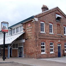
Thomas Aveling, founder of the agricultural machinery company Aveling and Porter, lived here and brought engineering innovations to the area during the industrial era. His presence demonstrates how this Medway locality was connected to Britain's industrial development.
The community of curious travelers
AroundUs brings together thousands of curated places, local tips, and hidden gems, enriched daily by 60,000 contributors worldwide.