Scar boat burial, Viking burial site in Sanday, Orkney Islands, Scotland.
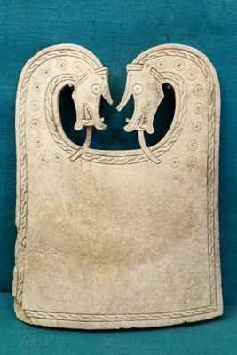
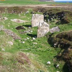
Scar boat burial is a ship burial on Sanday in the Orkney Islands where remains of three individuals were discovered inside a wooden vessel approximately 6.5 meters long. The site shows iron rivets that once held the boat structure together, along with personal belongings arranged around the skeletal remains.
The burial dates to the Viking era between 875 and 950 AD and was discovered in 1985 when a farmer found bones and a lead object eroding from the beach. Archaeological excavation occurred in 1991 to preserve the site before coastal erosion could cause further damage.
The burial contains three individuals of different ages along with weapons, tools, and personal items reflecting Norse funeral traditions from 875-950 AD.
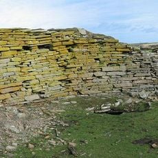
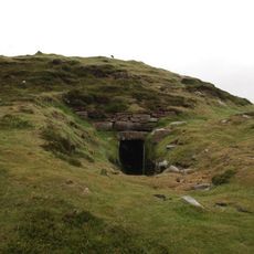
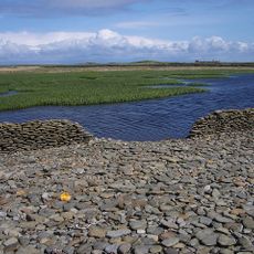
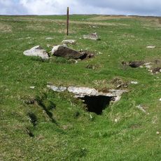
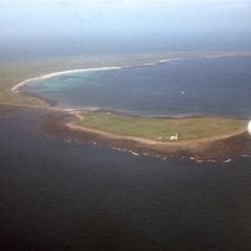
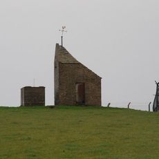
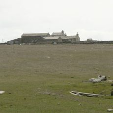
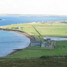
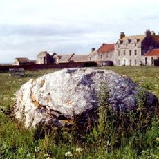
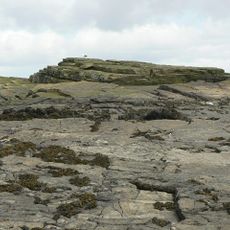
The site is located about one kilometer northeast of Scar village on The Crook Beach and is marked by stones arranged in a boat-shaped pattern. Plan your visit during clear weather, as the coastal location experiences strong winds and changing conditions.
Sand analysis suggests the boat may have originated from Norway, indicating significant trade connections between Scandinavia and the northern islands. This maritime link reveals how far-reaching Viking networks extended across the sea.
Location: Orkney Islands
GPS coordinates: 59.29780,-2.56790
Latest update: December 9, 2025 18:49
Broch of Burrian
10.1 km
North Ronaldsay Lighthouse
14.7 km
Quoyness chambered cairn
8 km
Chambered cairn on Vinquoy Hill
14.1 km
Tofts Ness, cairns, enclosures and field systems, Sanday
8.4 km
Stone of Setter, standing stone and enclosure, Eday
14.2 km
Start Point Lighthouse
11.2 km
Stone o’ Scar
1 km
North Ronaldsay, Sheep Dyke And Associated Punds
12 km
Holland, standing stone 370m WSW of, North Ronaldsay
10.3 km
Carrick Farm,chambered cairn and cairn 500m SSW of
14.1 km
Cairns of the Calf of Eday
12.2 km
Huntersquoy
14.1 km
Mount Maesry
10.8 km
Calf of Eday light
13 km
North Ronaldsay, Hollandstoun, Old Kirk
10.7 km
North Ronaldsay Bird Observatory
9.7 km
Holland House, North Ronaldsay
10.7 km
Sanday, Warsetter Dovecot
9.4 km
Sanday, Marygarth Manse
5.2 km
Sanday, Scar, Burness
987 m
Sanday, Kettletoft Pier
7.6 km
Nether Linnay, North Ronaldsay
12.4 km
Eday, Carrick House
13.3 km
Sanday, Stove, Farmhouse
12.4 km
East Range, Steading, Holland House, North Ronaldsay
10.7 km
Sanday, Scar Steading, Scar House
998 m
Green Skerry
13.6 kmVisited this place? Tap the stars to rate it and share your experience / photos with the community! Try now! You can cancel it anytime.
Discover hidden gems everywhere you go!
From secret cafés to breathtaking viewpoints, skip the crowded tourist spots and find places that match your style. Our app makes it easy with voice search, smart filtering, route optimization, and insider tips from travelers worldwide. Download now for the complete mobile experience.
A unique approach to discovering new places❞
— Le Figaro
All the places worth exploring❞
— France Info
A tailor-made excursion in just a few clicks❞
— 20 Minutes