Enable Location

We need your location to show you interesting places around you

Discover nearby places

Find interesting locations and hidden gems around you

Precise directions

Get accurate directions and distances to places

Your location is never shared with other users. It's only used when you tap the location button.

Allegany County

Log in to your account

Start exploring — it's free

Trusted by 62,421 travelers worldwide

Continue with Google
Continue with Apple
or

We will send you a code to connect

By continuing, you accept our Terms and Conditions and our Privacy Policy

Check your inbox

We've sent a pincode in your inbox. Please enter the code below.

Allegany County, County administrative division in Maryland, United States.

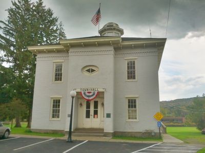
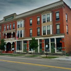
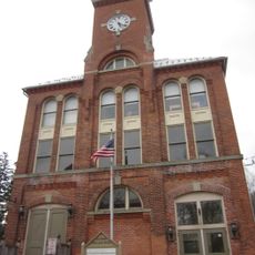
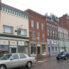
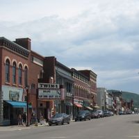
Allegany County is an administrative division in western New York state, encompassing towns, villages, and rural communities across its territory. The county government manages public services, infrastructure, and local administration for the residents living throughout these areas.

The county was established during New York's early territorial expansion and developed as a key administrative unit in the western part of the state. Its foundational governance structures continue to shape local administration in the region today.

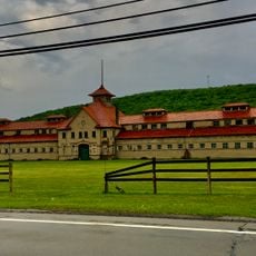
The county fairgrounds serve as a central gathering space where residents participate in community events, exhibitions, and seasonal celebrations throughout the year.

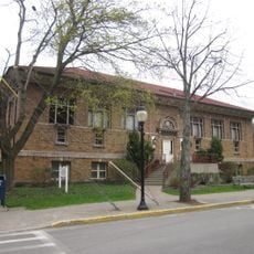
Visitors can contact the county administrative offices located in the county seat for information about public services and local resources. Most facilities are accessible during regular business hours, and parking is typically available at government buildings.

The Gaming Office regulates paper game sales and licensing, contributing to the county's revenue through systematic oversight of gaming activities.

The community of curious travelers

AroundUs brings together thousands of curated places, local tips, and hidden gems, enriched daily by 60,000 contributors worldwide.

Start exploring
Location
Inception
1806
Capital city
Belmont
Shares border with
McKean County, Potter County, Wyoming County, Cattaraugus County, Livingston County, Steuben County
GPS coordinates
42.23294,-78.02609
Latest update
December 17, 2025 10:16
Around this place
Bare Knuckle Boxing Hall of Fame
United States of America

Bare Knuckle Boxing Hall of Fame

14.2 km
Belvidere
United States of America

Belvidere

3.6 km
United States of America

Cuba Lake

22 km
Belmont Hotel
United States of America

Belmont Hotel

1.2 km
United States of America

Moss Lake Bog

22.6 km
McKinney Stables of Empire City Farms
United States of America

McKinney Stables of Empire City Farms

20.4 km
Allen Steinheim Museum
United States of America

Allen Steinheim Museum

19.9 km
United States of America

Stull Observatory

20.1 km
United States of America

Schein–Joseph International Museum of Ceramic Art

19.7 km
Terra Cotta Building
United States of America

Terra Cotta Building

19.8 km
Caneadea Bridge
United States of America

Caneadea Bridge

19.8 km
Alumni Hall
United States of America

Alumni Hall

19.8 km
Angelica Park Circle Historic District
United States of America

Angelica Park Circle Historic District

8.2 km
Alfred Village Historic District
United States of America

Alfred Village Historic District

19.7 km
Fireman's Hall
United States of America

Fireman's Hall

19.5 km
United States of America

Christ Episcopal Church

4.6 km
Main Street Historic District
United States of America

Main Street Historic District

20.7 km
Moses Van Campen House
United States of America

Moses Van Campen House

8 km
Belmont Grange No. 1243
United States of America

Belmont Grange No. 1243

1.5 km
Friendship Free Library
United States of America

Friendship Free Library

9.4 km
United States of America

Canaseraga Four Corners Historic District

32.6 km
Belmont Literary and Historical Society Free Library
United States of America

Belmont Literary and Historical Society Free Library

1.3 km
United States of America

Wellman House

9.6 km
United States of America

Ceres School

33 km
United States of America

West Almond Churches

13.8 km
South Street Historic District
United States of America

South Street Historic District

20.7 km
United States of America

Park Avenue and State Street Historic District

7.6 km
United States of America

Bolivar Free Library

21.1 km
Show the full map
« Allegany County - County administrative division in Maryland, United States » is provided by Around Us (aroundus.com). Images and texts are derived from Wikimedia project under a Creative Commons license. You are allowed to copy, distribute, and modify copies of this page, under the conditions set by the license, as long as this note is clearly visible.

Discover hidden gems everywhere you go!

From secret cafés to breathtaking viewpoints, skip the crowded tourist spots and find places that match your style. Our app makes it easy with voice search, smart filtering, route optimization, and insider tips from travelers worldwide. Download now for the complete mobile experience.

Around Us App Screenshot

A unique approach to discovering new places

Le Figaro

All the places worth exploring

France Info

A tailor-made excursion in just a few clicks

20 Minutes

Around Us
Travel Guide & Maps
Download

Send to your phone

QR Code
1

Open the camera app on your mobile.

2

Point at the QR code with your camera. A notification will appear.

3

Tap the notification to open the link.