Grant County

Log in to your account

AroundUs is a community-driven map of interesting places, built by curious explorers like you. It grows with every review, story, and photo you share.
Connect to save your favorite spots, contribute locations, and create personalized routes.
By continuing, you accept our Terms and Conditions and our Privacy Policy
Add to collection
Map
Suggest a change
Share

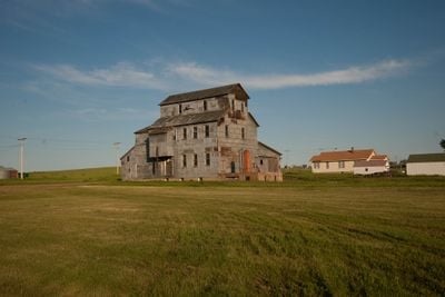
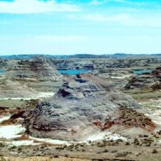
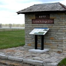
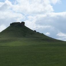
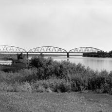
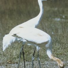
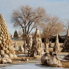
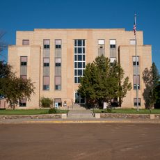
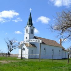
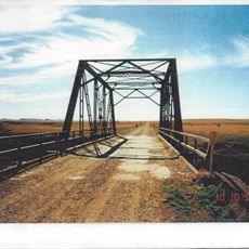
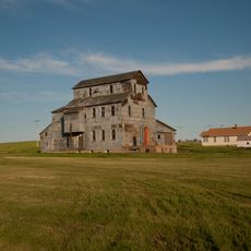
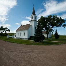
Grant County, county in North Dakota, United States

GPS coordinates: 46.36000,-101.64000

Latest update: April 16, 2025 10:03

Around this place
Show the full map
Hell Creek Formation
United States of America

Hell Creek Formation

61.1 km
Fort Abraham Lincoln
United States of America

Fort Abraham Lincoln

75.4 km
Enchanted Highway
United States of America

Enchanted Highway

70.3 km
Salem Sue
United States of America

Salem Sue

57.2 km
Dakota Zoo
United States of America

Dakota Zoo

80.3 km
Richardton meteorite
United States of America

Richardton meteorite

56.6 km
Huff Archeological Site
United States of America

Huff Archeological Site

81.7 km
Heart Butte Dam
United States of America

Heart Butte Dam

29.5 km
Liberty Memorial Bridge
United States of America

Liberty Memorial Bridge

80.5 km
Pretty Rock National Wildlife Refuge
United States of America

Pretty Rock National Wildlife Refuge

26.2 km
Lemmon Petrified Park
United States of America

Lemmon Petrified Park

61.4 km
Camp Hancock State Historic Site
United States of America

Camp Hancock State Historic Site

81.7 km
Annunciation Monastery
United States of America

Annunciation Monastery

78.9 km
Our Lady of the Annunciation Chapel at Annunciation Priory
United States of America

Our Lady of the Annunciation Chapel at Annunciation Priory

78.9 km
Bismarck Air Museum
United States of America

Bismarck Air Museum

81.9 km
Hotel Brown
United States of America

Hotel Brown

33 km
German Evangelical St. Johns Church
United States of America

German Evangelical St. Johns Church

68 km
Hettinger County Courthouse
United States of America

Hettinger County Courthouse

52.9 km
Evangelical Lutheran Trinity Church
United States of America

Evangelical Lutheran Trinity Church

29.6 km
Cedar Creek Bridge
United States of America

Cedar Creek Bridge

56.8 km
Chief Looking's Village site
United States of America

Chief Looking's Village site

81.2 km
Carson Roller Mill
United States of America

Carson Roller Mill

8.7 km
Missouri River High Bridge
United States of America

Missouri River High Bridge

80.4 km
Dr. Albert M. and Evelyn M. Brandt House
United States of America

Dr. Albert M. and Evelyn M. Brandt House

81.7 km
Raging Rivers
United States of America

Raging Rivers

79.3 km
SuperSlide Amusement Park
United States of America

SuperSlide Amusement Park

80.5 km
Sims Lutheran Church
United States of America

Sims Lutheran Church

47.2 km
Petrified Wood Park & Museum
United States of America

Petrified Wood Park & Museum

61.6 km
Show the full map

Reviews

Visited this place? Tap the stars to rate it and share your experience / photos with the community! Try now! You can cancel it anytime.

« Grant County - county in North Dakota, United States » is provided by Around Us (aroundus.com). Images and texts are derived from Wikimedia project under a Creative Commons license. You are allowed to copy, distribute, and modify copies of this page, under the conditions set by the license, as long as this note is clearly visible.

Discover hidden gems everywhere you go!

From secret cafés to breathtaking viewpoints, skip the crowded tourist spots and find places that match your style. Our app makes it easy with voice search, smart filtering, route optimization, and insider tips from travelers worldwide. Download now for the complete mobile experience.

Around Us App Screenshot

A unique approach to discovering new places

Le Figaro

All the places worth exploring

France Info

A tailor-made excursion in just a few clicks

20 Minutes