Blaenavon, town in Torfaen, Wales, UK
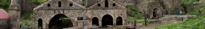
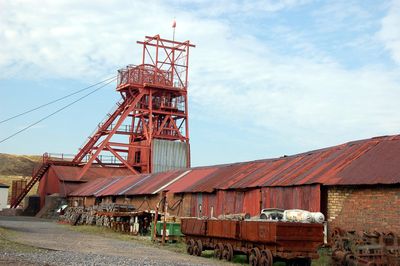
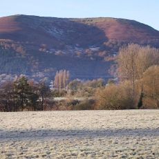
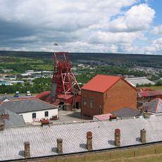
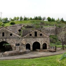
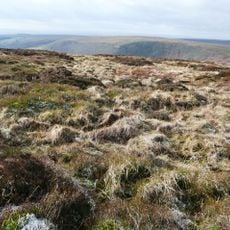
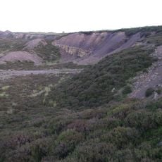
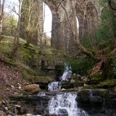
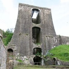
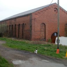
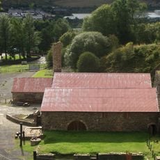
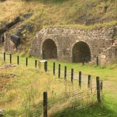
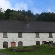
Blaenavon is a town in south Wales with a long history of coal and iron production. The area spans over 30 square kilometers with open landscapes, hills, and old industrial sites, including the Big Pit National Coal Museum and the Blaenavon Ironworks with its preserved furnaces and worker buildings.
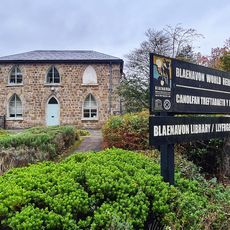
Blaenavon emerged in the late 1700s as a center of iron production and later coal mining, becoming one of Britain's major industrial sites. In 2000 it was designated a UNESCO World Heritage Site to recognize its crucial role in global industrialization and how skills and methods developed here spread to other continents.
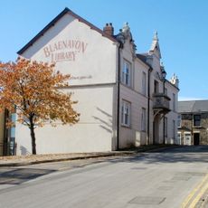
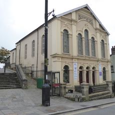
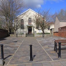
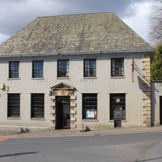
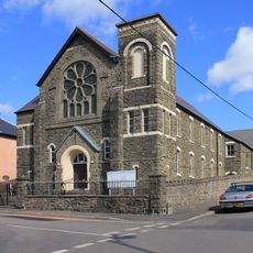
The name Blaenavon comes from Welsh and means 'mouth of the river'. Local people take pride in their history and have preserved old buildings to keep the stories of their ancestors alive and part of daily community life.
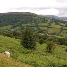
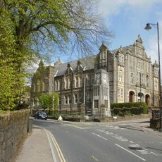
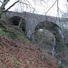
The visitor center at the former St. Peter's School offers information and displays to help understand the site's history. Walking and cycling paths connect the main attractions through open countryside and are easily accessible on foot or by bike.
Big Pit still operates with its original winding engine and headframe from 1860, and visitors can actually descend underground to experience life in a working mine. The heritage display at the Ironworks shows specialized machines and tools that reveal how workers perfected the production of raw iron and later spread these techniques to countries like America and Australia.
The community of curious travelers
AroundUs brings together thousands of curated places, local tips, and hidden gems, enriched daily by 60,000 contributors worldwide.