
Bowling Green, city in Missouri
Location: Pike County
Inception: 1819
Elevation above the sea: 272 m
Website: http://bowlinggreen-mo.gov
GPS coordinates: 39.34170,-91.20000
Latest update: March 10, 2025 12:08

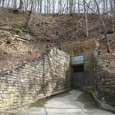
Mark Twain Cave
40.2 km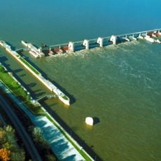
Lock and Dam No. 22
33.3 km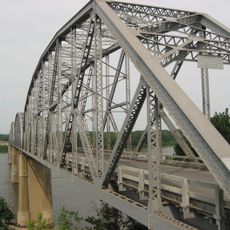
Champ Clark Bridge
18.3 km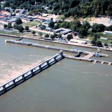
Lock and Dam No. 24
25.4 km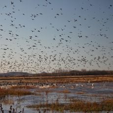
Clarence Cannon National Wildlife Refuge
36.8 km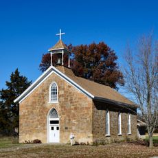
St. Paul Catholic Church
39.3 km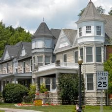
North Third Street Historic District
18 km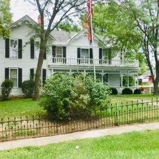
James Beauchamp Clark House
790 m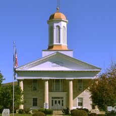
Ralls County Courthouse and Jail-Sheriff's House
32.2 km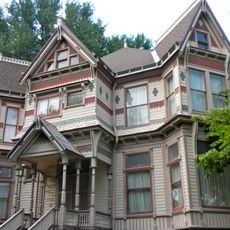
Gov. Lloyd Crow Stark House and Carriage House
16.7 km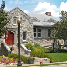
Louisiana Public Library
17.9 km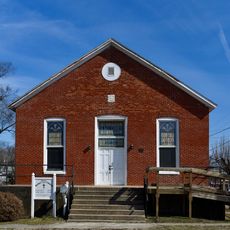
Bethel Chapel AME Church
17.6 km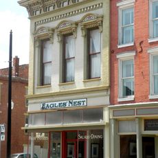
Georgia Street Historic District
17.7 km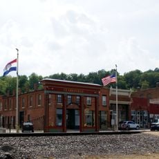
Clarksville Historic District
25.6 km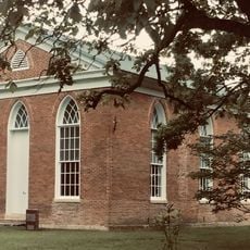
St. John's Episcopal Church
19.5 km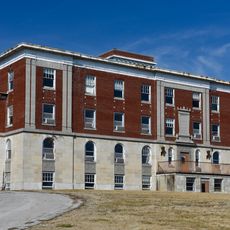
Pike County Hospital
16.2 km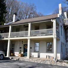
Charles Bacon House
17.4 km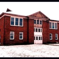
Lincoln School
25.5 km
Clifford-Wyrick House
25.6 km
Turner-Pharr House
25.4 km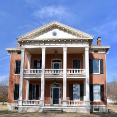
Capt. George and Attella Barnard House
16.1 km
Northern Methodist Episcopal Church of Clarksville
25.6 km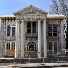
Luce-Dyer House
17.8 km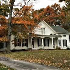
Lyman Scott House
33.2 km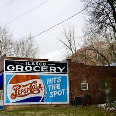
Ilasco Historic District
37.9 km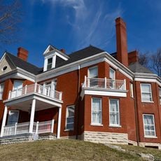
Goodman–Stark House
18 km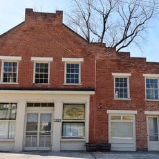
Meloan, Cummins & Co., General Store
27.3 km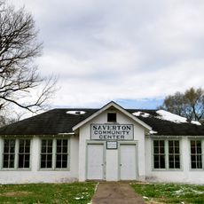
Saverton School
34 kmReviews
Visited this place? Tap the stars to rate it and share your experience / photos with the community! Try now! You can cancel it anytime.
Discover hidden gems everywhere you go!
From secret cafés to breathtaking viewpoints, skip the crowded tourist spots and find places that match your style. Our app makes it easy with voice search, smart filtering, route optimization, and insider tips from travelers worldwide. Download now for the complete mobile experience.

A unique approach to discovering new places❞
— Le Figaro
All the places worth exploring❞
— France Info
A tailor-made excursion in just a few clicks❞
— 20 Minutes