
Clark Township, township in Clinton County, Ohio, United States

Caesar Creek State Park
32.4 km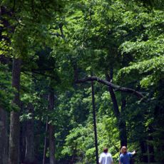
Fort Ancient
28.8 km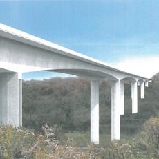
Jeremiah Morrow Bridge
30.5 km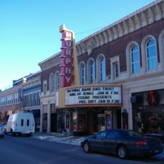
Murphy Theatre
18.1 km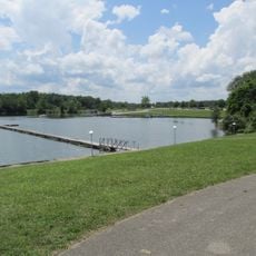
Rocky Fork State Park
29.9 km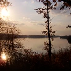
Cowan Lake State Park
14.9 km
Paint Creek State Park
35.1 km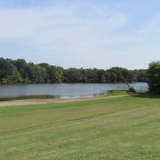
Stonelick State Park
24.7 km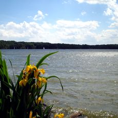
Cowan Lake
14.4 km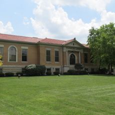
Wilmington Public Library of Clinton County, Ohio
18.4 km
Beam Farm Woodland Archaeological District
23.7 km
Keiter Mound
30.1 km
Rocky Fork Park Site
27.6 km
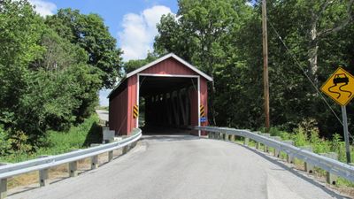
Lynchburg Covered Bridge
4.5 km
Bone Stone Graves
35.6 km
Highland County Courthouse
18.3 km
Williams Stadium
17.4 km
Hillside Haven Mound
22.8 km
Cowan Creek Circular Enclosure
15.3 km
Bone Mound II
35.6 km
Doan House
17.8 km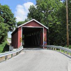
Martinsville Road Covered Bridge
6 km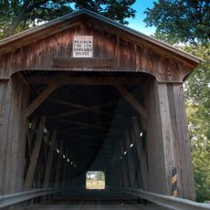
McCafferty Road Covered Bridge
22.7 km
Moar Mound and Village Site
35.6 km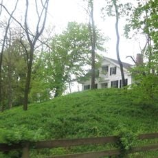
Waynesville Greek Revival Houses
37 km
Kim’s Classic Diner
26.2 km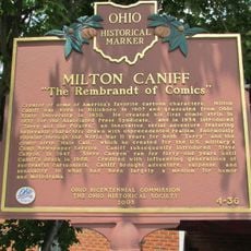
Milton Caniff
17.6 km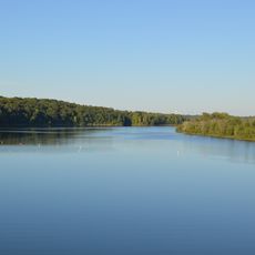
Caesar Creek Lake
24.6 kmVisited this place? Tap the stars to rate it and share your experience / photos with the community! Try now! You can cancel it anytime.
Discover hidden gems everywhere you go!
From secret cafés to breathtaking viewpoints, skip the crowded tourist spots and find places that match your style. Our app makes it easy with voice search, smart filtering, route optimization, and insider tips from travelers worldwide. Download now for the complete mobile experience.

A unique approach to discovering new places❞
— Le Figaro
All the places worth exploring❞
— France Info
A tailor-made excursion in just a few clicks❞
— 20 Minutes