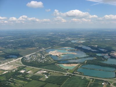
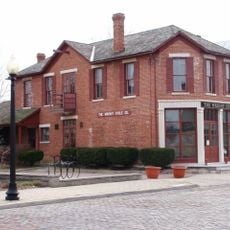
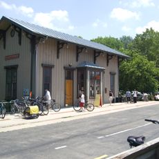
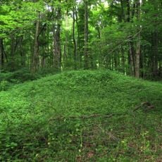
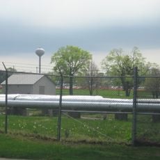
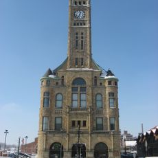
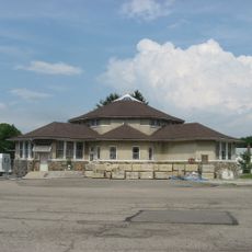
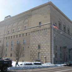
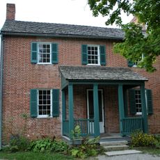
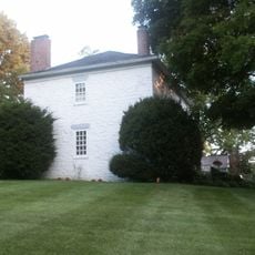
Bethel Township, township in Clark County, Ohio, United States
Location: Clark County
Elevation above the sea: 267 m
GPS coordinates: 39.90667,-84.01528
Latest update: May 30, 2025 09:17
National Museum of the United States Air Force
16.1 km
Bockscar
16 km
Nutter Center
14.6 km
Dayton Aviation Heritage National Historical Park
14 km
Little Miami Scenic Trail
15.5 km
Huffman Prairie
12.3 km
Glen Helen Nature Preserve
16.5 km
Hindu Temple of Dayton
15.9 km
Orators Mound
16.1 km
Wright-Patterson Air Force Base Mound
14.6 km
Fairborn Twin Cinemas
9.8 km
Clark County Heritage Center
17.6 km
Olive Branch High School
1.7 km
Masonic Temple
17.3 km
Yellow Springs Historic District
15.8 km
South Fountain Avenue Historic District
17.4 km
Daniel Hertzler House
8.9 km
Antioch Hall, North and South Halls
16.1 km
Tecumseh Building
17.5 km
Arnold Homestead
7.9 km
Old Enon Road Stone Arch Culvert
12.3 km
South School
15.8 km
Kroger Aquatic Center
8 km
Ausenbaugh-McElhenny House
9.1 km
John Minor Dye Stone House
17.1 km
Huffman Prairie Flying Field Interpretive Center
14 km
Mercer Log House
9.3 km
Halderman Museum Barn
7 kmReviews
Visited this place? Tap the stars to rate it and share your experience / photos with the community! Try now! You can cancel it anytime.
Discover hidden gems everywhere you go!
From secret cafés to breathtaking viewpoints, skip the crowded tourist spots and find places that match your style. Our app makes it easy with voice search, smart filtering, route optimization, and insider tips from travelers worldwide. Download now for the complete mobile experience.
A unique approach to discovering new places❞
— Le Figaro
All the places worth exploring❞
— France Info
A tailor-made excursion in just a few clicks❞
— 20 Minutes