Enable Location

We need your location to show you interesting places around you

Discover nearby places

Find interesting locations and hidden gems around you

Precise directions

Get accurate directions and distances to places

Your location is never shared with other users. It's only used when you tap the location button.

Van Buren County

Log in to your account

Start exploring — it's free

Trusted by 65,813 travelers worldwide

Continue with Google
Continue with Apple
or

We will send you a code to connect

By continuing, you accept our Terms and Conditions and our Privacy Policy

Check your inbox

We've sent a pincode in your inbox. Please enter the code below.

Discussion Reviews 1 Photos
10.5k Popularity

Van Buren County, Administrative division in Michigan, United States.

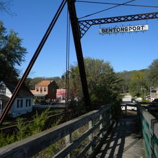
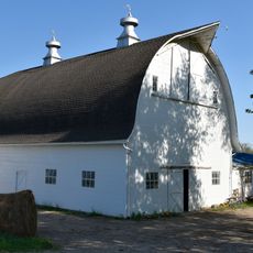
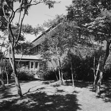
Van Buren County is an administrative division in southwest Michigan, bordered to the west by Lake Michigan. It covers a mix of small towns, rural townships, and farmland, with Paw Paw serving as the county seat.

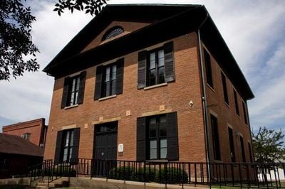
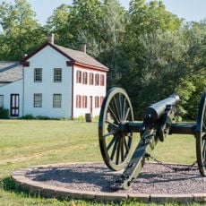
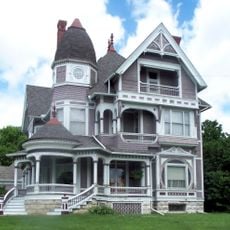
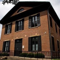
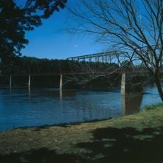
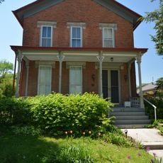
Van Buren County was established in 1829 and named after Martin Van Buren, who was then serving as Secretary of State before becoming president. Early settlers moved into the area from the eastern states and built communities along the river valleys.

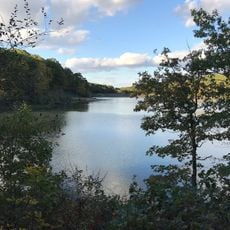
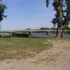
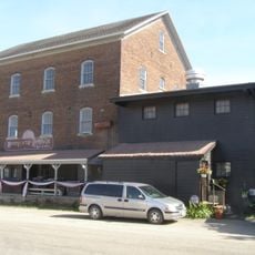
Van Buren County sits in southwest Michigan, where fruit farming and vineyards shape much of the landscape visitors travel through. The area is part of a fruit-growing belt along Lake Michigan, and roadside farm stands are a common sight in warmer months.

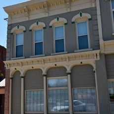
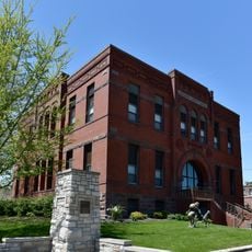
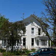
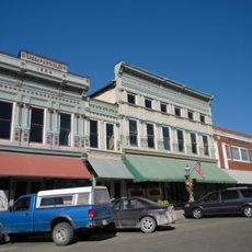
Paw Paw, the county seat, is the best starting point for reaching county offices or public services. The area is spread out and most places are easier to reach by car, especially in the rural townships.

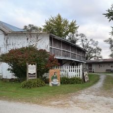
Van Buren County is one of the top wine-producing counties in Michigan, and several wineries along the Lakeshore Wine Trail are open to visitors. The trail runs close to the Lake Michigan shoreline, where the lake's proximity moderates the climate enough to support grape growing.

The community of curious travelers

AroundUs brings together thousands of curated places, local tips, and hidden gems, enriched daily by 60,000 contributors worldwide.

Start exploring
GPS coordinates
40.74920,-91.96895
Latest update
March 3, 2026 10:12
Around this place
Battle of Athens State Historic Site
United States of America

Battle of Athens State Historic Site

28.7 km
Bentonsport
United States of America

Bentonsport

15 km
Lacey-Keosauqua State Park
United States of America

Lacey-Keosauqua State Park

4.5 km
James A. Beck House
United States of America

James A. Beck House

28.7 km
Former US Post Office Building
United States of America

Former US Post Office Building

28.6 km
Van Buren County Courthouse
United States of America

Van Buren County Courthouse

1.8 km
Sharon Cemetery Historic District
United States of America

Sharon Cemetery Historic District

26.1 km
R. Bruce and May W. Louden House
United States of America

R. Bruce and May W. Louden House

28.5 km
US Senator James F. Wilson House
United States of America

US Senator James F. Wilson House

27.9 km
Des Moines River Locks No. 5 and No. 7
United States of America

Des Moines River Locks No. 5 and No. 7

15.4 km
Meek's Flour Mill
United States of America

Meek's Flour Mill

15 km
R.R. and Antoinette Louden House
United States of America

R.R. and Antoinette Louden House

28.5 km
Fairfield Public Library
United States of America

Fairfield Public Library

28.6 km
Big 4 Fair Art Hall
United States of America

Big 4 Fair Art Hall

27.3 km
Franklin Pearson House
United States of America

Franklin Pearson House

1.5 km
Fred and Rosa Fulton Barn
United States of America

Fred and Rosa Fulton Barn

22.1 km
Louden Whirl-Around
United States of America

Louden Whirl-Around

27.8 km
Louden Monorail System in the Auto Repair Shop
United States of America

Louden Monorail System in the Auto Repair Shop

28.8 km
Bonaparte Pottery Archeological District
United States of America

Bonaparte Pottery Archeological District

15.4 km
James F. Clarke House
United States of America

James F. Clarke House

28.2 km
Kilbourn Bridge
United States of America

Kilbourn Bridge

5.6 km
R. B. and Lizzie L. Louden House
United States of America

R. B. and Lizzie L. Louden House

28.6 km
Bonaparte Historic Riverfront District
United States of America

Bonaparte Historic Riverfront District

15.1 km
Wells-Stubbs House
United States of America

Wells-Stubbs House

28.6 km
William and Mary Jane Louden House
United States of America

William and Mary Jane Louden House

28.6 km
O.F. and Lulu E. Fryer House
United States of America

O.F. and Lulu E. Fryer House

27.8 km
Gobble and Heer–Spurgeons Building
United States of America

Gobble and Heer–Spurgeons Building

28.8 km
George A. Wells House
United States of America

George A. Wells House

28.4 km
Show the full map
Reviews
Share your experience

No review yet

Discussions
Start a discussion...

No discussion yet

« Van Buren County - Administrative division in Michigan, United States » is provided by Around Us (aroundus.com). Images and texts are derived from Wikimedia project under a Creative Commons license. You are allowed to copy, distribute, and modify copies of this page, under the conditions set by the license, as long as this note is clearly visible.

Discover hidden gems everywhere you go!

From secret cafés to breathtaking viewpoints, skip the crowded tourist spots and find places that match your style. Our app makes it easy with voice search, smart filtering, route optimization, and insider tips from travelers worldwide. Download now for the complete mobile experience.

Around Us App Screenshot

A unique approach to discovering new places

Le Figaro

All the places worth exploring

France Info

A tailor-made excursion in just a few clicks

20 Minutes

Around Us
Travel Guide & Maps
Download

Send to your phone

QR Code
1

Open the camera app on your mobile.

2

Point at the QR code with your camera. A notification will appear.

3

Tap the notification to open the link.