Atchison County, County administrative division in northeastern Kansas, United States.
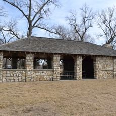
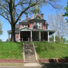
Atchison County is an administrative division in northeastern Kansas that runs along the Missouri River border. The region contains farmland interspersed with gently rolling terrain, and the city of Atchison serves as the county seat.
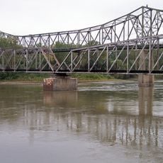
The area was organized as a county in 1855 during Kansas's territorial period and named after a prominent political figure of that era. Its location on the Missouri River made it a significant point for early trade and settlement in the developing territory.
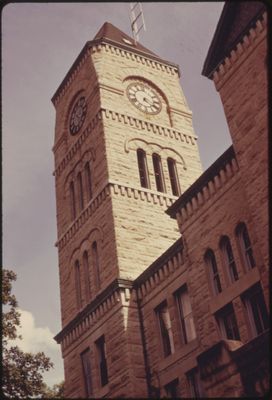
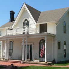
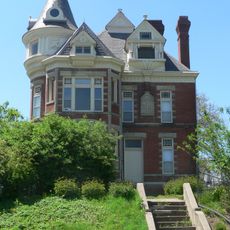
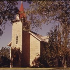
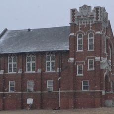
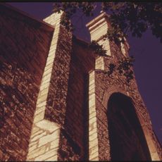
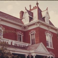
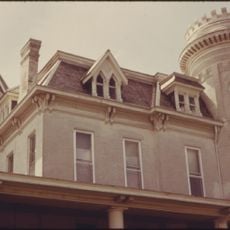
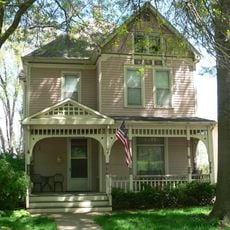
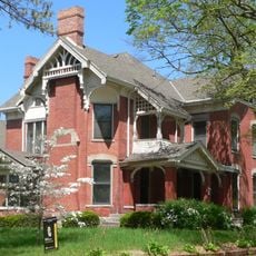
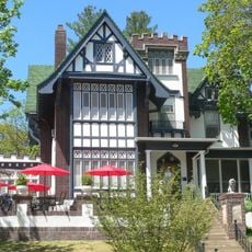
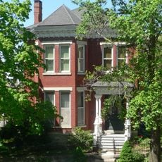
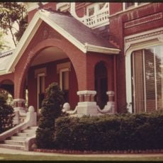
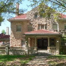
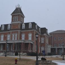
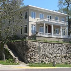
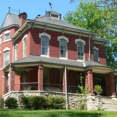
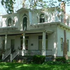
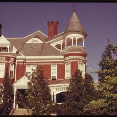
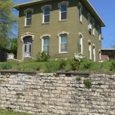
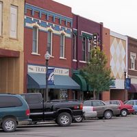
The county seat preserves a strong connection to its riverfront heritage, with residents and visitors drawn to sites that recall its role as a 19th-century river commerce hub. Local institutions and architecture reflect the pride in this trading past.
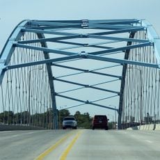
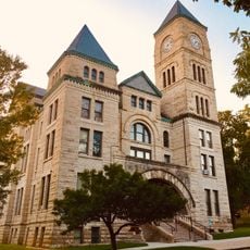
Visitors can use the city of Atchison as a base for exploring the county, where the courthouse and local amenities are located. The proximity to the Missouri River boundary provides access to additional outdoor areas and points of interest across the region.
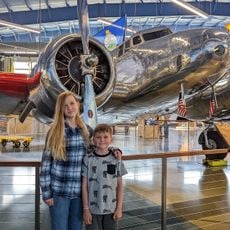
The county is known as the birthplace of an aviation pioneer whose legacy continues to hold significance in the region today. This connection to early aviation history gives the area special meaning for those interested in that era.
Location: Kansas
Inception: August 30, 1855
Capital city: Atchison
Shares border with: Doniphan County, Buchanan County, Leavenworth County, Platte County, Jefferson County, Jackson County, Brown County
Website: http://AtchisonCountyKS.org
GPS coordinates: 39.53330,-95.30000
Latest update: December 8, 2025 13:41
Amelia Earhart Birthplace
16.3 km
Amelia Earhart Bridge
16.3 km
McInteer Villa
14.7 km
Lewis and Clark State Park
20.8 km
Larry Wilcox Stadium
16.8 km
St. Patrick's Catholic Church
16.9 km
Ebenezer Baptist Church
15.6 km
Trinity Episcopal Church
15.9 km
J. P. Brown House
16.1 km
W. W. Hetherington House
15.9 km
Atchison County Courthouse
15.9 km
Jansen House
16.3 km
Frank Howard House
16.3 km
Glick–Orr House
16.2 km
Robert L. Pease House
16.2 km
A. J. Harwi House
15.1 km
B. P. Waggener House
16.2 km
Francis and Harriet Baker House
16.1 km
Price Villa
15.2 km
Frederick W. Stein House
16.1 km
Edgar W. Howe House
16.4 km
Balie P. Waggener House
16.2 km
H. E. Muchnic House
16.2 km
Amelia Earhart Hangar Museum
11.2 km
Sugar Lake State Park Open Shelter
20.6 km
Amelia Earhart Historic District
16.4 km
Amelia Earhart Bridge
16.3 km
BNSF Missouri River Bridge
16.3 kmVisited this place? Tap the stars to rate it and share your experience / photos with the community! Try now! You can cancel it anytime.
Discover hidden gems everywhere you go!
From secret cafés to breathtaking viewpoints, skip the crowded tourist spots and find places that match your style. Our app makes it easy with voice search, smart filtering, route optimization, and insider tips from travelers worldwide. Download now for the complete mobile experience.
A unique approach to discovering new places❞
— Le Figaro
All the places worth exploring❞
— France Info
A tailor-made excursion in just a few clicks❞
— 20 Minutes