Coffey County, Administrative county in eastern Kansas, United States.
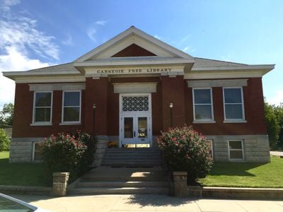
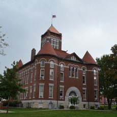
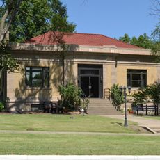
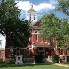
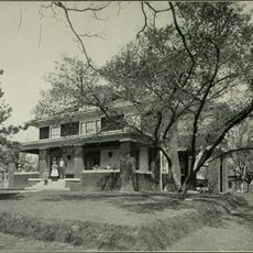
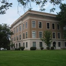
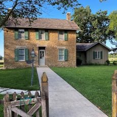
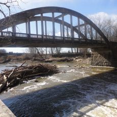
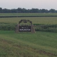
Coffey County is an administrative division in eastern Kansas that encompasses both land and water bodies across its territory. The county contains several small towns, with Burlington serving as the main administrative center.
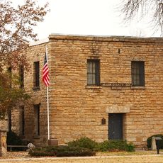
The county was established in 1855 and named after Asbury M. Coffey, a territorial legislator. This early settlement helped shape the region's development in the following decades.
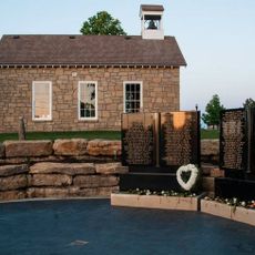
The county is home to several school districts that shape education for local communities. These institutions serve as important gathering places in the daily life of residents.
The region is well served by Interstate 35, US Route 50, and US Route 75, giving visitors multiple routes for traveling through the area. Most services and administrative facilities are concentrated in Burlington.
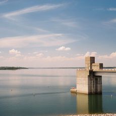
The Flint Hills National Wildlife Refuge extends across part of the county and provides habitat for diverse wildlife species. This makes the region an important conservation area within the state.
The community of curious travelers
AroundUs brings together thousands of curated places, local tips, and hidden gems, enriched daily by 60,000 contributors worldwide.