Chautauqua County

Log in to your account

AroundUs is a community-driven map of interesting places, built by curious explorers like you. It grows with every review, story, and photo you share.
Connect to save your favorite spots, contribute locations, and create personalized routes.
By continuing, you accept our Terms and Conditions and our Privacy Policy
Add to collection
Map
Suggest a change
Share

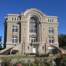
Chautauqua County, Administrative county in Southeast Kansas, United States.

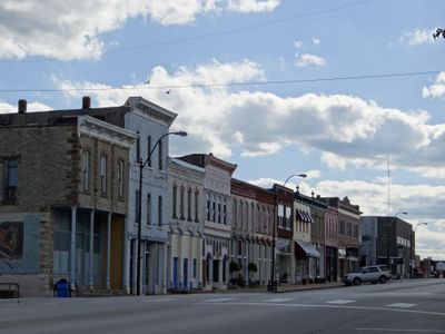
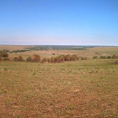
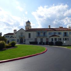
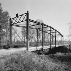
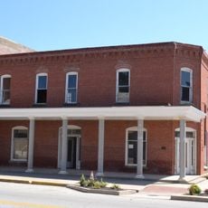
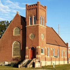
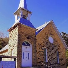
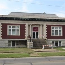
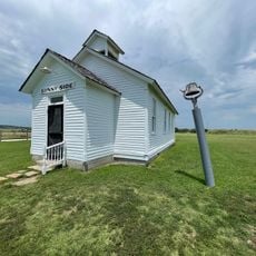
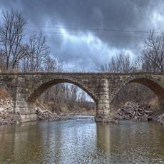
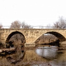
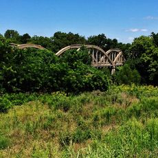
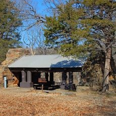
Chautauqua County is an administrative division in Southeast Kansas that stretches across gently rolling terrain dotted with pastures, cropland, and several small reservoirs. The landscape here blends rural communities with open farmland along the Oklahoma border.

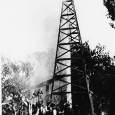
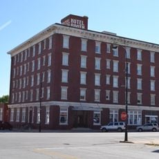
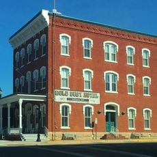
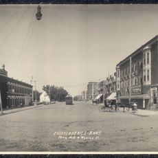
The county was established in 1875 when the Kansas legislature divided Howard County and named it after Edward Jaquins's birthplace in New York State. The region initially grew as a settlement but later experienced a steady population decline over the following centuries.

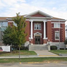
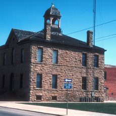
The county maintains twelve distinct townships, each contributing to the local governance structure and community organization within Southeast Kansas.

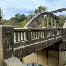
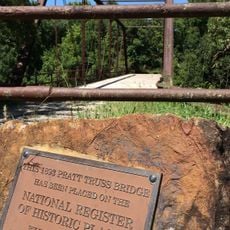
US Route 166 and Kansas Highway 99 serve as the main roads connecting the county to neighboring areas. When exploring the less populated areas, having good maps or GPS navigation helps, as much of the terrain remains sparsely settled.

The region experienced a dramatic population shift between 1880 and 2020, declining from around 11,000 residents to fewer than 3,400. This transformation reflects larger changes in American agriculture and rural outmigration patterns.

Location: Kansas

Inception: March 25, 1875

Capital city: Sedan

Shares border with: Elk County, Osage County, Montgomery County, Washington County, Cowley County

Website: http://chautauquacountyks.com

GPS coordinates: 37.15000,-96.23330

Latest update: December 10, 2025 15:58

Photos
Around this place
Price Tower
United States of America

Price Tower

50.3 km
Tallgrass Prairie Preserve
United States of America

Tallgrass Prairie Preserve

38.1 km
Woolaroc
United States of America

Woolaroc

55.3 km
Osage Hills State Park
United States of America

Osage Hills State Park

45.7 km
Hulah Lake
United States of America

Hulah Lake

27 km
Elk City State Park
United States of America

Elk City State Park

42.6 km
LaQuinta
United States of America

LaQuinta

54 km
Norman No. 1 Oil Well
United States of America

Norman No. 1 Oil Well

57.7 km
Independence Public Library
United States of America

Independence Public Library

47.6 km
Booth Theater
United States of America

Booth Theater

47.5 km
Onion Creek Bridge (Coffeyville, Kansas)
United States of America

Onion Creek Bridge (Coffeyville, Kansas)

53.1 km
Old Washington County Courthouse
United States of America

Old Washington County Courthouse

50.2 km
Booth Hotel
United States of America

Booth Hotel

47.3 km
Gold Dust Hotel
United States of America

Gold Dust Hotel

55.9 km
Brown Hotel
United States of America

Brown Hotel

57.3 km
Bethel African Methodist Episcopal Church
United States of America

Bethel African Methodist Episcopal Church

56.3 km
City Hall
United States of America

City Hall

55 km
Niotaze Methodist Episcopal Church
United States of America

Niotaze Methodist Episcopal Church

21.3 km
Coffeyville Carnegie Public Library Building
United States of America

Coffeyville Carnegie Public Library Building

55.7 km
Little House On The Prairie Museum
United States of America

Little House On The Prairie Museum

35.3 km
Cedar Creek Bridge
United States of America

Cedar Creek Bridge

15.8 km
Elk Falls Pratt Truss Bridge
United States of America

Elk Falls Pratt Truss Bridge

25.3 km
Esch's Spur Bridge
United States of America

Esch's Spur Bridge

48.6 km
Silver Creek Bridge
United States of America

Silver Creek Bridge

54.3 km
Dewlen-Spohnhauer Bridge
United States of America

Dewlen-Spohnhauer Bridge

49.9 km
Independence Historical Museum & Art Center
United States of America

Independence Historical Museum & Art Center

47.3 km
Osage Hills State Park Picnic Pavilion
United States of America

Osage Hills State Park Picnic Pavilion

46.6 km
Independence Downtown Historic District
United States of America

Independence Downtown Historic District

47.6 km
Show the full map
Reviews

Visited this place? Tap the stars to rate it and share your experience / photos with the community! Try now! You can cancel it anytime.

Administrative divisions
« Chautauqua County - Administrative county in Southeast Kansas, United States » is provided by Around Us (aroundus.com). Images and texts are derived from Wikimedia project under a Creative Commons license. You are allowed to copy, distribute, and modify copies of this page, under the conditions set by the license, as long as this note is clearly visible.

Discover hidden gems everywhere you go!

From secret cafés to breathtaking viewpoints, skip the crowded tourist spots and find places that match your style. Our app makes it easy with voice search, smart filtering, route optimization, and insider tips from travelers worldwide. Download now for the complete mobile experience.

Around Us App Screenshot

A unique approach to discovering new places

Le Figaro

All the places worth exploring

France Info

A tailor-made excursion in just a few clicks

20 Minutes