Enable Location

We need your location to show you interesting places around you

Discover nearby places

Find interesting locations and hidden gems around you

Precise directions

Get accurate directions and distances to places

Your location is never shared with other users. It's only used when you tap the location button.

Dickinson County

Log in to your account

Start exploring — it's free

Trusted by 63,410 travelers worldwide

Continue with Google
Continue with Apple
or

We will send you a code to connect

By continuing, you accept our Terms and Conditions and our Privacy Policy

Check your inbox

We've sent a pincode in your inbox. Please enter the code below.

Discussion Reviews 1 Photos
11.6k Popularity

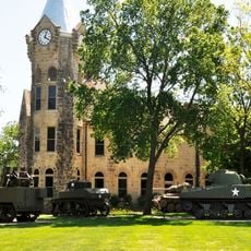
Dickinson County, Administrative county in Kansas, United States.

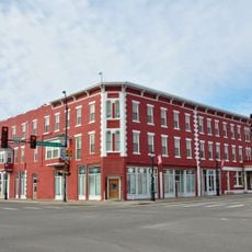
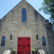
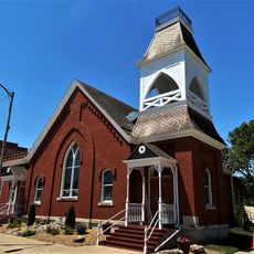
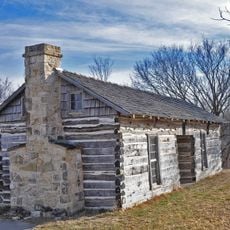
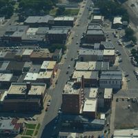
Dickinson County is an administrative division in central Kansas, with Abilene serving as its seat and main town. The territory includes several smaller communities spread across farmland.

The county was established in 1857 and named after Daniel S. Dickinson, a prominent New York politician. This naming reflected the historical connections between the eastern and western parts of the nation.

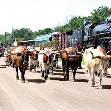
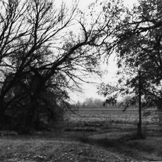
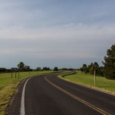
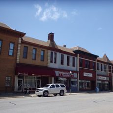
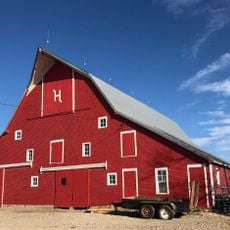
Agriculture shapes daily life here, and local markets serve as gathering places where farmers display their goods and livestock. These traditions remain woven into how the community lives today.

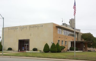
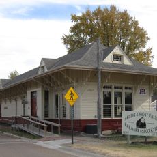
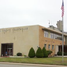
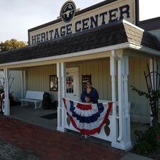
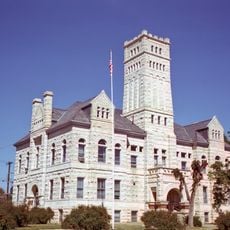
Government offices and public services are mainly located in Abilene, the administrative center of the area. Visiting during local fairs and market days offers the best chance to experience community life.

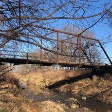
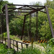
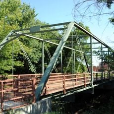
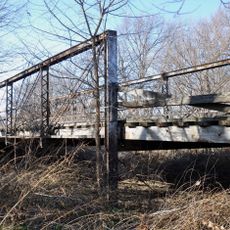
The territory has a connection to historic railroad routes that ran through Abilene and shaped western settlement and trade in earlier eras. Traces of these routes remain visible in how some towns are laid out today.

The community of curious travelers

AroundUs brings together thousands of curated places, local tips, and hidden gems, enriched daily by 60,000 contributors worldwide.

Start exploring
Location
Inception
February 20, 1857
Capital city
Abilene
Shares border with
Clay County, Marion County, Geary County, Morris County, McPherson County, Saline County, Ottawa County
GPS coordinates
38.88330,-97.16670
Latest update
December 8, 2025 13:40
Around this place
Dwight D. Eisenhower Presidential Library, Museum and Boyhood Home
United States of America

Dwight D. Eisenhower Presidential Library, Museum and Boyhood Home

5 km
Eisenhower Home
United States of America

Eisenhower Home

5.1 km
Lebold Mansion
United States of America

Lebold Mansion

6.1 km
Atchison, Topeka and Santa Fe Railway 3415
United States of America

Atchison, Topeka and Santa Fe Railway 3415

5.8 km
Abilene and Smoky Valley Railroad
United States of America

Abilene and Smoky Valley Railroad

5 km
U.S. Cavalry Museum
United States of America

U.S. Cavalry Museum

38.8 km
Whiteford Archeological Site
United States of America

Whiteford Archeological Site

31.6 km
Wellington Formation
United States of America

Wellington Formation

31.7 km
Lander Park Carousel
United States of America

Lander Park Carousel

4.8 km
Milford State Park
United States of America

Milford State Park

33.7 km
Wilson Pratt Truss Bridge
United States of America

Wilson Pratt Truss Bridge

21.3 km
Bartell House
United States of America

Bartell House

33 km
St. John's Episcopal Church
United States of America

St. John's Episcopal Church

5.8 km
Chapman Creek Pratt Truss Bridge
United States of America

Chapman Creek Pratt Truss Bridge

17.9 km
Trinity Evangelical Lutheran Church
United States of America

Trinity Evangelical Lutheran Church

5.8 km
Christian Wetzel Cabin
United States of America

Christian Wetzel Cabin

30.3 km
Dickinson County Courthouse
United States of America

Dickinson County Courthouse

5.4 km
Versteeg-Swisher House
United States of America

Versteeg-Swisher House

4.7 km
Abilene Downtown Historic District
United States of America

Abilene Downtown Historic District

5.6 km
Six Mile Creek Stage Station Historic District
United States of America

Six Mile Creek Stage Station Historic District

41.1 km
Staatz House
United States of America

Staatz House

21 km
Grand Army of the Republic memorial
United States of America

Grand Army of the Republic memorial

33.3 km
John W. Birchmore House
United States of America

John W. Birchmore House

6.4 km
Eliason Barn
United States of America

Eliason Barn

28 km
Heritage Center
United States of America

Heritage Center

4.8 km
Lakewood Park Bridge
United States of America

Lakewood Park Bridge

37.2 km
Hobbs Creek Bridge
United States of America

Hobbs Creek Bridge

33.1 km
Junction City Downtown Historic District
United States of America

Junction City Downtown Historic District

33.5 km
Show the full map
Reviews
Share your experience

No review yet

Discussions
Start a discussion...

No discussion yet

Administrative divisions
« Dickinson County - Administrative county in Kansas, United States » is provided by Around Us (aroundus.com). Images and texts are derived from Wikimedia project under a Creative Commons license. You are allowed to copy, distribute, and modify copies of this page, under the conditions set by the license, as long as this note is clearly visible.

Discover hidden gems everywhere you go!

From secret cafés to breathtaking viewpoints, skip the crowded tourist spots and find places that match your style. Our app makes it easy with voice search, smart filtering, route optimization, and insider tips from travelers worldwide. Download now for the complete mobile experience.

Around Us App Screenshot

A unique approach to discovering new places

Le Figaro

All the places worth exploring

France Info

A tailor-made excursion in just a few clicks

20 Minutes

Around Us
Travel Guide & Maps
Download

Send to your phone

QR Code
1

Open the camera app on your mobile.

2

Point at the QR code with your camera. A notification will appear.

3

Tap the notification to open the link.