Enable Location

We need your location to show you interesting places around you

Discover nearby places

Find interesting locations and hidden gems around you

Precise directions

Get accurate directions and distances to places

Your location is never shared with other users. It's only used when you tap the location button.

Crawford County

Log in to your account

Start exploring — it's free

Trusted by 61,507 travelers worldwide

Continue with Google
Continue with Apple
or

We will send you a code to connect

By continuing, you accept our Terms and Conditions and our Privacy Policy

Check your inbox

We've sent a pincode in your inbox. Please enter the code below.

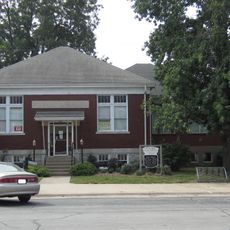
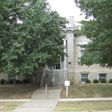
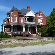
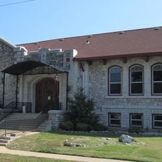
Crawford County, Administrative county in southeastern Kansas, United States.

Description

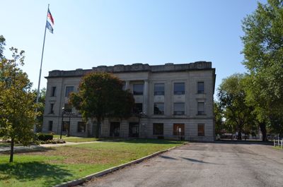
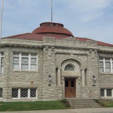
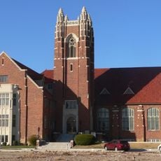
Crawford County is an administrative division in southeastern Kansas with Girard as its county seat and Pittsburg as the largest population center. The region is home to Pittsburg State University, which serves as a major educational hub for the area.

History

The area was created in 1867 from Cherokee and Bourbon territories, established on the Cherokee Neutral Lands between Missouri and Osage territory. This formation reflected the major boundary changes reshaping the region during that era.

Culture

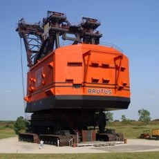
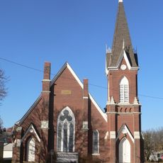
Miners from the Balkans arrived in the early 1900s and built communities centered on coal extraction. Their presence shaped local identity and traditions that residents still recognize today.

Practical

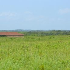
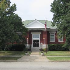
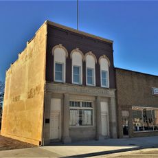
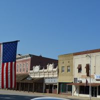
Pittsburg serves as the main hub for exploring the region and accessing local services. Most destinations in the county require a vehicle since communities are spread across the landscape.

Did you know?

A powerful tornado struck the county in a year that reshaped how several communities approached rebuilding and disaster preparedness. The event remains part of local memory and shapes how residents discuss resilience.

Location
Inception
February 13, 1867
Capital city
Girard
Shares border with
Bourbon County, Cherokee County, Neosho County, Labette County, Jasper County, Barton County, Vernon County
GPS coordinates
37.51670,-94.85000
Latest update
December 7, 2025 19:29

AroundUs brings together thousands of curated places, local tips, and hidden gems, enriched daily by 60,000 contributors worldwide. Discover all places nearby (Kansas).

Around this place
Big Brutus
United States of America

Big Brutus

28.1 km
Harry S Truman Birthplace State Historic Site
United States of America

Harry S Truman Birthplace State Historic Site

51.2 km
Rainbow Bridge
United States of America

Rainbow Bridge

50.3 km
Kan-O-Tex Service Station
United States of America

Kan-O-Tex Service Station

52 km
Prairie State Park
United States of America

Prairie State Park

24.6 km
Fort Scott National Cemetery
United States of America

Fort Scott National Cemetery

38.6 km
Crawford State Park
United States of America

Crawford State Park

13.7 km
Elijah Thomas Webb Residence
United States of America

Elijah Thomas Webb Residence

53.5 km
Pittsburg Public Library
United States of America

Pittsburg Public Library

17.2 km
Oswego Public Library
United States of America

Oswego Public Library

45.1 km
Girard Public Library
United States of America

Girard Public Library

840 m
Edgar Backus Schermerhorn House
United States of America

Edgar Backus Schermerhorn House

53 km
Downtown Webb City Historic District
United States of America

Downtown Webb City Historic District

53.5 km
Carnegie Library
United States of America

Carnegie Library

41.3 km
First Presbyterian Church
United States of America

First Presbyterian Church

37.5 km
St. John's Episcopal Church
United States of America

St. John's Episcopal Church

1.2 km
First Presbyterian Church
United States of America

First Presbyterian Church

653 m
Columbus Public Carnegie Library
United States of America

Columbus Public Carnegie Library

38.3 km
First Congregational Church
United States of America

First Congregational Church

37.6 km
Julius A. Wayland House
United States of America

Julius A. Wayland House

729 m
State Street Bridge
United States of America

State Street Bridge

35 km
State Bank of Girard
United States of America

State Bank of Girard

999 m
Everett J. Ritchie Tri-State Mineral Museum
United States of America

Everett J. Ritchie Tri-State Mineral Museum

54.6 km
Supertam On 66 Ice Cream Parlor And Superman Museum
United States of America

Supertam On 66 Ice Cream Parlor And Superman Museum

54.4 km
Galena Mining & Historical Museum
United States of America

Galena Mining & Historical Museum

52.5 km
Curious Minds Discovery Zone
United States of America

Curious Minds Discovery Zone

42.6 km
Crawford County Historical Museum
United States of America

Crawford County Historical Museum

15.3 km
Fox Theater
United States of America

Fox Theater

17.4 km
Show the full map
Administrative divisions
« Crawford County - Administrative county in southeastern Kansas, United States » is provided by Around Us (aroundus.com). Images and texts are derived from Wikimedia project under a Creative Commons license. You are allowed to copy, distribute, and modify copies of this page, under the conditions set by the license, as long as this note is clearly visible.

Discover hidden gems everywhere you go!

From secret cafés to breathtaking viewpoints, skip the crowded tourist spots and find places that match your style. Our app makes it easy with voice search, smart filtering, route optimization, and insider tips from travelers worldwide. Download now for the complete mobile experience.

Around Us App Screenshot

A unique approach to discovering new places

Le Figaro

All the places worth exploring

France Info

A tailor-made excursion in just a few clicks

20 Minutes

Around Us
Travel Guide & Maps
Download

Send to your phone

QR Code
1

Open the camera app on your mobile.

2

Point at the QR code with your camera. A notification will appear.

3

Tap the notification to open the link.