Trumbull County

Log in to your account

AroundUs is a community-driven map of interesting places, built by curious explorers like you. It grows with every review, story, and photo you share.
Connect to save your favorite spots, contribute locations, and create personalized routes.
Continue with Google
Continue with Apple
Continue with X
Continue with Facebook
Continue with email
By continuing, you accept our Terms and Conditions and our Privacy Policy
Create an account
Add to collection
Map
Suggest a change
Share

Trumbull County, Administrative county in northeastern Ohio, United States

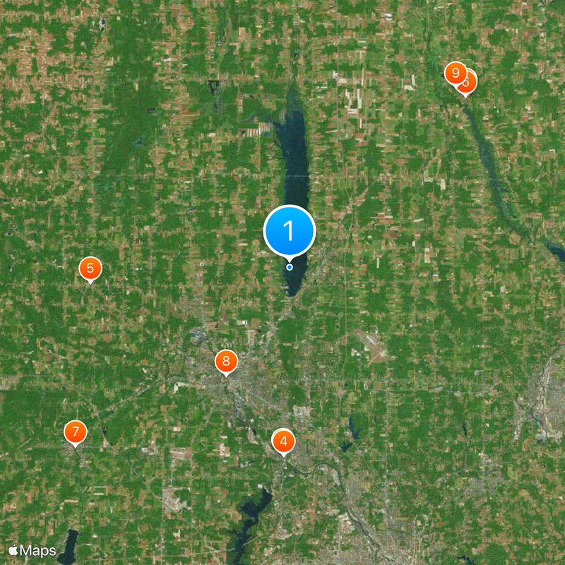
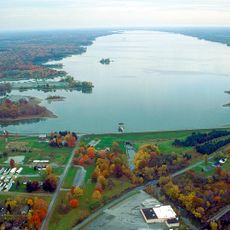
Trumbull County is an administrative county in northeastern Ohio covering roughly 2,400 square kilometers across the Mahoning Valley region. The area includes Mosquito Lake State Park and numerous other natural areas scattered throughout its landscape.

The county was established in 1800 and named after Jonathan Trumbull, who served as Governor of Connecticut during the American Revolutionary War. This naming honors a significant figure from the nation's early independence period.

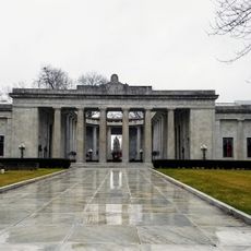
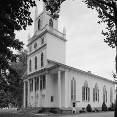
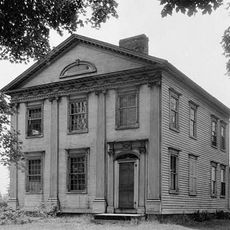
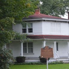
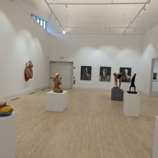
The Warren area holds museums, theaters, and galleries where local art and regional heritage are on display for visitors to explore. These spaces show how the community values its creative traditions and local stories.

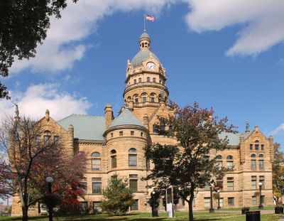
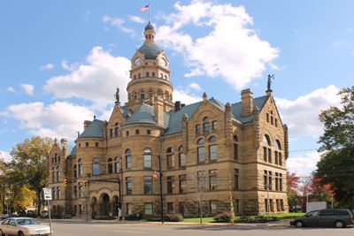
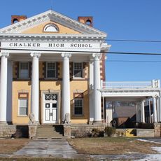
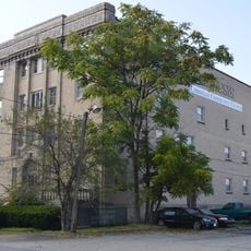
Warren, the county seat, contains administrative offices, medical facilities, and educational institutions including the Kent State University Trumbull campus. Visitors can find the main services and institutions that serve the county in this central location.

Among all Ohio counties, Trumbull stands alone as perfectly square in shape, with each side measuring exactly 40 kilometers in length. This geometric distinction sets it apart from other administrative regions within the state.

Location: Ohio

Inception: July 10, 1800

Capital city: Warren

Reference: TRU

Shares border with: Crawford County, Mercer County, Ashtabula County, Mahoning County, Portage County, Geauga County

Website: http://co.trumbull.oh.us

GPS coordinates: 41.32000,-80.76000

Latest update: December 17, 2025 08:24

Photos
Around this place
National McKinley Birthplace Memorial
United States of America

National McKinley Birthplace Memorial

15.5 km
Clarence Darrow Octagon House
United States of America

Clarence Darrow Octagon House

20.6 km
United States of America

McKinley Birthplace Home and Research Center

15.6 km
Chalker High School
United States of America

Chalker High School

16.6 km
Congregational-Presbyterian Church
United States of America

Congregational-Presbyterian Church

20.4 km
Newton Falls Covered Bridge
United States of America

Newton Falls Covered Bridge

23.2 km
Harriet Taylor Upton House
United States of America

Harriet Taylor Upton House

10.4 km
Dr. Peter Allen House
United States of America

Dr. Peter Allen House

20.4 km
Niles Masonic Temple
United States of America

Niles Masonic Temple

15.4 km
Darrow Octagon House - Clarence Darrow (1857-1938)
United States of America

Darrow Octagon House - Clarence Darrow (1857-1938)

20.6 km
Dog Beach
United States of America

Dog Beach

1.8 km
Medici Museum of Art
United States of America

Medici Museum of Art

9.8 km
United States of America

Warren Commercial Historic District

10.4 km
United States of America

Mahoning Avenue Historic District

10.4 km
United States of America

Fowler Center Historic District

8.8 km
United States of America

Westwood Lake

16 km
United States of America

Brookfield Center Historic District

18.7 km
Mosquito Lake State Park
United States of America

Mosquito Lake State Park

6.7 km
United States of America

Gustavus Center Historic District

17.1 km
United States of America

Mesopotamia Village Historic District

22.4 km
United States of America

Henry Stambaugh Golf Course

22.7 km
United States of America

Northwood Golf Course

6.2 km
United States of America

Clovercrest Golf Course

7.6 km
United States of America

Old Avalon Golf Course

10.4 km
United States of America

The Links by the Tracks

5.2 km
United States of America

Bronzwood Golf Club

24.9 km
United States of America

Doughton Golf Course

20.6 km
United States of America

Squaw creek

14.5 km
Show the full map
Reviews

Visited this place? Tap the stars to rate it and share your experience / photos with the community! Try now! You can cancel it anytime.

Administrative divisions
« Trumbull County - Administrative county in northeastern Ohio, United States » is provided by Around Us (aroundus.com). Images and texts are derived from Wikimedia project under a Creative Commons license. You are allowed to copy, distribute, and modify copies of this page, under the conditions set by the license, as long as this note is clearly visible.

Discover hidden gems everywhere you go!

From secret cafés to breathtaking viewpoints, skip the crowded tourist spots and find places that match your style. Our app makes it easy with voice search, smart filtering, route optimization, and insider tips from travelers worldwide. Download now for the complete mobile experience.

Around Us App Screenshot

A unique approach to discovering new places

Le Figaro

All the places worth exploring

France Info

A tailor-made excursion in just a few clicks

20 Minutes