Enable Location

We need your location to show you interesting places around you

Discover nearby places

Find interesting locations and hidden gems around you

Precise directions

Get accurate directions and distances to places

Your location is never shared with other users. It's only used when you tap the location button.

Carroll County

Log in to your account

Start exploring — it's free

Trusted by 62,834 travelers worldwide

Continue with Google
Continue with Apple
or

We will send you a code to connect

By continuing, you accept our Terms and Conditions and our Privacy Policy

Check your inbox

We've sent a pincode in your inbox. Please enter the code below.

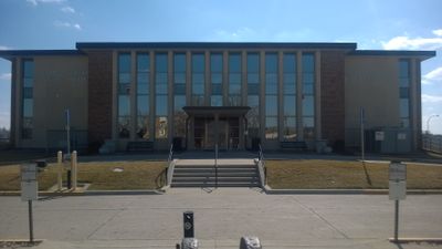
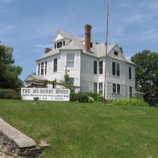
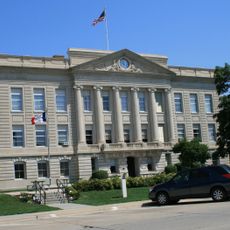
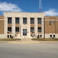
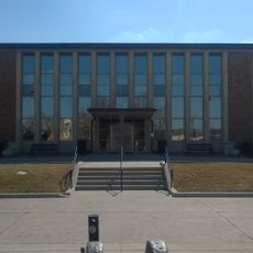
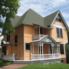
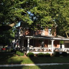
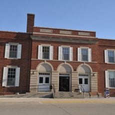
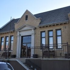
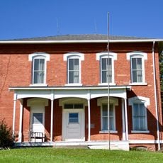
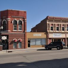
Carroll County, County seat in Western Iowa, United States.

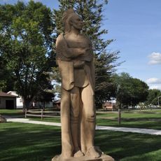
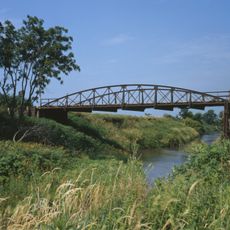
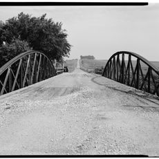
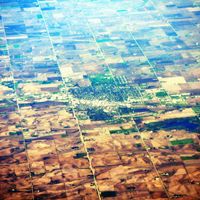
Carroll County is an administrative area in western Iowa with farmland and the Middle Raccoon River flowing through its territory. The county contains several parks and recreational spaces that serve the local population.

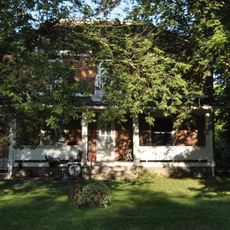
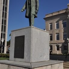
The county was established in 1851 and named after a signer of the Declaration of Independence. This connection to American history shapes how the region understands itself.

The community values its farming heritage through gatherings that bring together neighbors and local families. These occasions reflect how agriculture shapes daily life and social bonds in the area.

Visitors can access several parks and outdoor areas throughout the year for recreation and exploration. Local information about trails, activities, and facilities is available through community resources.

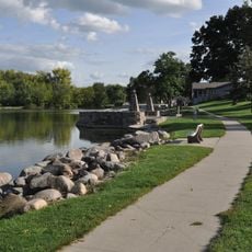
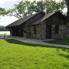
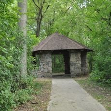
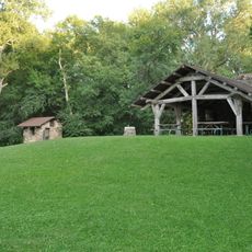
Swan Lake State Park features a lake where visitors can fish, camp, and hike along various trails. This park is a place where people from the surrounding area frequently gather for outdoor activities.

The community of curious travelers

AroundUs brings together thousands of curated places, local tips, and hidden gems, enriched daily by 60,000 contributors worldwide.

Start exploring
Location
Inception
1851
Capital city
Carroll
Shares border with
Calhoun County, Audubon County, Sac County, Crawford County, Guthrie County, Greene County, Shelby County
GPS coordinates
42.03722,-94.85889
Latest update
December 10, 2025 15:52
Around this place
Black Hawk State Park
United States of America

Black Hawk State Park

31.6 km
Lincoln Highway in Greene County, Iowa
United States of America

Lincoln Highway in Greene County, Iowa

40.1 km
George H. Gallup House
United States of America

George H. Gallup House

40.5 km
Marsh Rainbow Arch Bridge
United States of America

Marsh Rainbow Arch Bridge

23.1 km
St. Patrick's Catholic Church, Cedar
United States of America

St. Patrick's Catholic Church, Cedar

28.8 km
William A. McHenry House
United States of America

William A. McHenry House

40.8 km
Greene County Courthouse
United States of America

Greene County Courthouse

40.2 km
Audubon County Court House
United States of America

Audubon County Court House

35.7 km
Chief Black Hawk Statue
United States of America

Chief Black Hawk Statue

33.8 km
Carroll County Courthouse
United States of America

Carroll County Courthouse

3.1 km
Carey House, Denison, Iowa
United States of America

Carey House, Denison, Iowa

40.8 km
Lakeside Park Historic District
United States of America

Lakeside Park Historic District

33.7 km
Peter and Mary Smith House
United States of America

Peter and Mary Smith House

27.6 km
Lake City Community Memorial Building
United States of America

Lake City Community Memorial Building

27.8 km
Nishnabotna River Bridge
United States of America

Nishnabotna River Bridge

38.7 km
Smith Farmhouse
United States of America

Smith Farmhouse

27 km
Lake City Public Library
United States of America

Lake City Public Library

27.7 km
Nishnabotna River Bridge
United States of America

Nishnabotna River Bridge

31.9 km
Lake City Water Standpipe
United States of America

Lake City Water Standpipe

27.7 km
Central School
United States of America

Central School

27.5 km
Gen. Cass and Belle Smith House
United States of America

Gen. Cass and Belle Smith House

27.5 km
Audubon County Home Historic District
United States of America

Audubon County Home Historic District

38.4 km
Jefferson Square Commercial Historic District
United States of America

Jefferson Square Commercial Historic District

40.2 km
Statue of Abraham Lincoln
United States of America

Statue of Abraham Lincoln

40.2 km
Blackhawk State Park, Denison Beach Area
United States of America

Blackhawk State Park, Denison Beach Area

32.9 km
Blackhawk State Park, Wildlife Preserve Area (Area A)
United States of America

Blackhawk State Park, Wildlife Preserve Area (Area A)

33 km
Blackhawk State Park, Black Hawk Preserve (Area B)
United States of America

Blackhawk State Park, Black Hawk Preserve (Area B)

33.1 km
Irwin Consolidated School
United States of America

Irwin Consolidated School

39.4 km
Show the full map
Administrative divisions
« Carroll County - County seat in Western Iowa, United States » is provided by Around Us (aroundus.com). Images and texts are derived from Wikimedia project under a Creative Commons license. You are allowed to copy, distribute, and modify copies of this page, under the conditions set by the license, as long as this note is clearly visible.

Discover hidden gems everywhere you go!

From secret cafés to breathtaking viewpoints, skip the crowded tourist spots and find places that match your style. Our app makes it easy with voice search, smart filtering, route optimization, and insider tips from travelers worldwide. Download now for the complete mobile experience.

Around Us App Screenshot

A unique approach to discovering new places

Le Figaro

All the places worth exploring

France Info

A tailor-made excursion in just a few clicks

20 Minutes

Around Us
Travel Guide & Maps
Download

Send to your phone

QR Code
1

Open the camera app on your mobile.

2

Point at the QR code with your camera. A notification will appear.

3

Tap the notification to open the link.