Nemaha County

Log in to your account

AroundUs is a community-driven map of interesting places, built by curious explorers like you. It grows with every review, story, and photo you share.
Connect to save your favorite spots, contribute locations, and create personalized routes.
Continue with Google
Continue with Apple
Continue with X
Continue with Facebook
Continue with email
By continuing, you accept our Terms and Conditions and our Privacy Policy
Create an account
Add to collection
Map
Suggest a change
Share

Nemaha County, Administrative county in northeastern Kansas, United States.

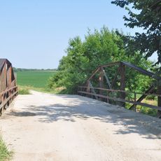
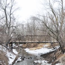
Nemaha County is an administrative county in northeastern Kansas, covering an area of rolling farmland dotted with small communities. The Nemaha River flows through the region, shaping both the landscape and the settlement patterns of local towns and townships.

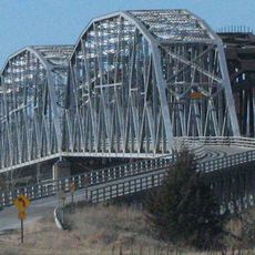
Nemaha County was established on August 30, 1855, and received its first railroad connection in 1866. This transportation link accelerated economic growth and connected the rural region to larger markets and cities.

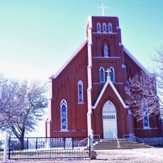
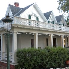
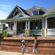
The region is shaped by farming families and tight-knit communities where agriculture remains the center of local life. You can see this heritage reflected in how people organize their calendar around seasons and harvests.

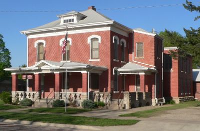
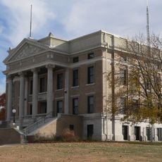
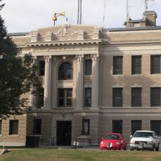
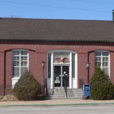
The county seat of Seneca houses the main administrative offices and district court facilities. Government services are available during standard business hours on weekdays for residents and visitors seeking records or information.

A significant weather event occurred on May 30, 1879, near Irving when a powerful tornado struck the area. This disaster prompted the region to develop improved safety measures and emergency response protocols.

Location: Kansas

Inception: August 30, 1855

Capital city: Seneca

Shares border with: Pawnee County, Jackson County, Richardson County, Brown County, Pottawatomie County, Marshall County

Website: http://Nemaha.KansasGov.com

GPS coordinates: 39.80000,-96.01670

Latest update: December 10, 2025 15:58

Photos
Around this place
United States of America

Prairie Band of Potawatomi Nation

53.3 km
Rulo Bridge
United States of America

Rulo Bridge

58.2 km
Davis Memorial
United States of America

Davis Memorial

43.2 km
St. Bridget Church
United States of America

St. Bridget Church

28 km
St. Mary's Church
United States of America

St. Mary's Church

11.8 km
Rad Jan Kollar cis 101 Z.C.B.J.
United States of America

Rad Jan Kollar cis 101 Z.C.B.J.

29.1 km
Old Albany Schoolhouse
United States of America

Old Albany Schoolhouse

24.1 km
Itha T. Krumme Memorial Arboretum
United States of America

Itha T. Krumme Memorial Arboretum

45.8 km
John Holman House
United States of America

John Holman House

41.6 km
Pawnee County Courthouse
United States of America

Pawnee County Courthouse

36.2 km
McFadden House
United States of America

McFadden House

44.4 km
Marshall County Courthouse
United States of America

Marshall County Courthouse

53.7 km
Harold Lloyd Birthplace
United States of America

Harold Lloyd Birthplace

48.1 km
Charles Koester House
United States of America

Charles Koester House

54 km
Richardson County Courthouse
United States of America

Richardson County Courthouse

45.9 km
Gehling's Theatre
United States of America

Gehling's Theatre

45.7 km
Pawnee City Carnegie Library
United States of America

Pawnee City Carnegie Library

36.4 km
Holton Bath House
United States of America

Holton Bath House

44.1 km
Lindsley House
United States of America

Lindsley House

42.7 km
E. F. Hempstead House
United States of America

E. F. Hempstead House

37.1 km
United States of America

Lake Nemaha Dam Guardrail

4.1 km
Gov. Arthur J. Weaver House
United States of America

Gov. Arthur J. Weaver House

46.3 km
United States Post Office
United States of America

United States Post Office

36.4 km
Koester Block Historic District
United States of America

Koester Block Historic District

54 km
Alcove Springs Park
United States of America

Alcove Springs Park

56.7 km
John McKimmons Barn
United States of America

John McKimmons Barn

57 km
Clear Creek Bridge
United States of America

Clear Creek Bridge

21.6 km
Robidoux Creek Bridge
United States of America

Robidoux Creek Bridge

37.2 km
Show the full map
Reviews

Visited this place? Tap the stars to rate it and share your experience / photos with the community! Try now! You can cancel it anytime.

Administrative divisions
« Nemaha County - Administrative county in northeastern Kansas, United States » is provided by Around Us (aroundus.com). Images and texts are derived from Wikimedia project under a Creative Commons license. You are allowed to copy, distribute, and modify copies of this page, under the conditions set by the license, as long as this note is clearly visible.

Discover hidden gems everywhere you go!

From secret cafés to breathtaking viewpoints, skip the crowded tourist spots and find places that match your style. Our app makes it easy with voice search, smart filtering, route optimization, and insider tips from travelers worldwide. Download now for the complete mobile experience.

Around Us App Screenshot

A unique approach to discovering new places

Le Figaro

All the places worth exploring

France Info

A tailor-made excursion in just a few clicks

20 Minutes