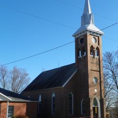
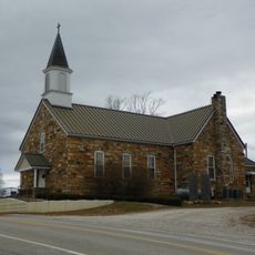
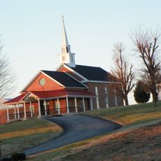
Bollinger County, County in southeastern Missouri, United States.
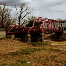
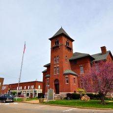
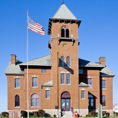
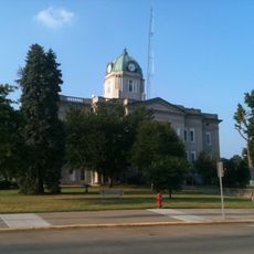
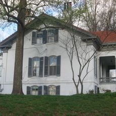
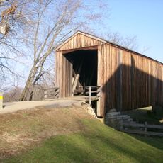
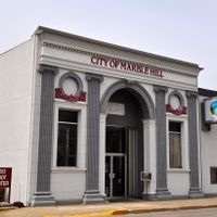
Bollinger County in southeastern Missouri covers forested areas, rolling hills, and river landscapes. The Castor River flows through the region creating natural features, while Marble Hill serves as the administrative center.
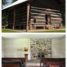
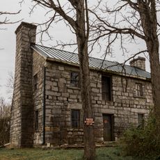
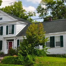
In the early 1800s, the first settlers arrived from eastern states and established communities here. These early groups laid the foundations that shaped the county we see today.
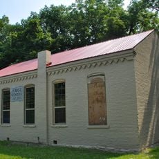
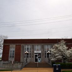
The museum in Marble Hill displays objects and collections that reveal how people connected with this region. Visitors can see how early settlers shaped their relationship with the landscape.
The county is sparsely settled with small towns and forests that are difficult to explore on foot. A car is practically necessary to visit the scattered communities and natural attractions like the river.
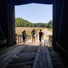
The Castor River Shut-Ins is a section where the river flows through hard rock and creates interesting stone chambers. This natural feature developed over time through the power of flowing water.
The community of curious travelers
AroundUs brings together thousands of curated places, local tips, and hidden gems, enriched daily by 60,000 contributors worldwide.