Cherokee County

Log in to your account

AroundUs is a community-driven map of interesting places, built by curious explorers like you. It grows with every review, story, and photo you share.
Connect to save your favorite spots, contribute locations, and create personalized routes.
Continue with Google
Continue with Apple
Continue with X
Continue with Facebook
Continue with email
By continuing, you accept our Terms and Conditions and our Privacy Policy
Create an account
Add to collection
Map
Suggest a change
Share

Cherokee County, County seat in western North Carolina, US.

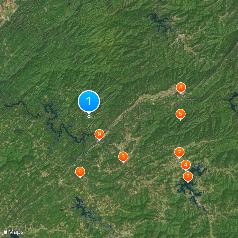
Cherokee County is an administrative division in the southern Appalachian Mountains of North Carolina, stretching across expansive land with the Hiawassee River and sections of Nantahala National Forest. Murphy serves as the county seat and administrative center for the community.

The county was established in 1839 through separation from Macon County, followed by territorial changes when Clay County was separated in 1861 and Graham County in 1872. These developments shaped the region's current boundaries.

The area holds deep roots in Cherokee Indian traditions, with descendants of the Eastern Band maintaining their heritage and connection to the land across generations. This presence continues to shape the cultural identity of the region today.

Visitors should prepare for mountainous terrain and changing weather conditions in the Appalachian region, especially when exploring forest areas and outdoor routes. The best time to visit is during milder months when roads and trails remain easily accessible.

In April 1974, the region experienced a severe weather outbreak that formed part of a larger storm system affecting multiple states across the country. This event remains part of local memory as one of the most significant weather occurrences.

Location: North Carolina

Inception: 1839

Capital city: Murphy

Shares border with: Graham County, Union County, Fannin County, Macon County, Clay County, Polk County, Monroe County

Website: http://cherokeecounty-nc.gov

GPS coordinates: 35.14000,-84.06000

Latest update: December 17, 2025 07:48

Photos
Around this place
Chatuge Lake
United States of America

Chatuge Lake

30 km
John C. Campbell Folk School
United States of America

John C. Campbell Folk School

14.4 km
Fred Hamilton Rhododendron Garden
United States of America

Fred Hamilton Rhododendron Garden

28 km
United States of America

Fires Creek

23.2 km
John Franklin Cobb House
United States of America

John Franklin Cobb House

15.5 km
Spikebuck Town Mound and Village Site
United States of America

Spikebuck Town Mound and Village Site

25.1 km
Walker's Inn
United States of America

Walker's Inn

24 km
Robert Lafayette Cooper House
United States of America

Robert Lafayette Cooper House

6.5 km
Cherokee County Courthouse
United States of America

Cherokee County Courthouse

6.4 km
First Baptist Church
United States of America

First Baptist Church

22.4 km
Franklin Pierce Cover House
United States of America

Franklin Pierce Cover House

22.3 km
United States of America

John Covington Moore House

26.9 km
Clay County Courthouse
United States of America

Clay County Courthouse

24.4 km
Charles Noden George House
United States of America

Charles Noden George House

36.3 km
United States of America

Cobb Bluff

15.8 km
United States of America

Henn Theater

21.8 km
United States of America

Lovers Leap

5.2 km
United States of America

Crowder Bluff

11 km
United States of America

Chatuga Shores Golf Course

27.4 km
United States of America

Ten Commandments

17.4 km
United States of America

Prayer Mountain

17.5 km
United States of America

Arise and Shine Marker

17.5 km
United States of America

Garden Tomb

17.5 km
United States of America

Golgotha Hill

17.4 km
United States of America

Cherokee Homestead Exhibit

24.4 km
United States of America

All Nations Cross

16.7 km
United States of America

South Shoal Creek Falls

15.1 km
United States of America

Scenic viewpoint

25.1 km
Show the full map
Reviews

Visited this place? Tap the stars to rate it and share your experience / photos with the community! Try now! You can cancel it anytime.

Administrative divisions
« Cherokee County - County seat in western North Carolina, US » is provided by Around Us (aroundus.com). Images and texts are derived from Wikimedia project under a Creative Commons license. You are allowed to copy, distribute, and modify copies of this page, under the conditions set by the license, as long as this note is clearly visible.

Discover hidden gems everywhere you go!

From secret cafés to breathtaking viewpoints, skip the crowded tourist spots and find places that match your style. Our app makes it easy with voice search, smart filtering, route optimization, and insider tips from travelers worldwide. Download now for the complete mobile experience.

Around Us App Screenshot

A unique approach to discovering new places

Le Figaro

All the places worth exploring

France Info

A tailor-made excursion in just a few clicks

20 Minutes