Enable Location

We need your location to show you interesting places around you

Discover nearby places

Find interesting locations and hidden gems around you

Precise directions

Get accurate directions and distances to places

Your location is never shared with other users. It's only used when you tap the location button.

Chatuge Lake

Log in to your account

Start exploring — it's free

Trusted by 63,141 travelers worldwide

Continue with Google
Continue with Apple
or

We will send you a code to connect

By continuing, you accept our Terms and Conditions and our Privacy Policy

Check your inbox

We've sent a pincode in your inbox. Please enter the code below.

Chatuge Lake
Discussion Reviews 1 Photos
15.3k Popularity

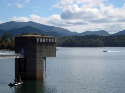
Chatuge Lake, Reservoir in Towns County, Georgia, US.

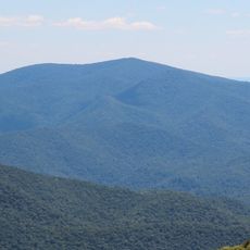
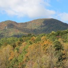
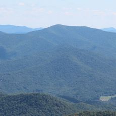
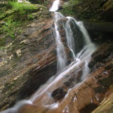
Chatuge Lake is a large reservoir in the Appalachian Mountains on the Georgia-North Carolina border, created by building a dam across the Hiwassee River. The body of water spans a broad area with deep sections and a long, winding shoreline.

The dam was built in the 1940s by the Tennessee Valley Authority, a federal agency developing the region's resources. The project brought significant changes to the land and the communities that lived there.

The name comes from a Cherokee settlement near the dam and means the place where waters meet, referring to the joining of the Hiwassee River. Visitors today encounter this connection in local stories and place names that shape how people talk about the region.

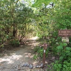
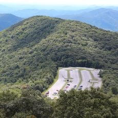
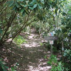
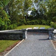
Several parks around the lake offer boat ramps, swimming areas, and camping facilities for visitors. You can find fishing spots, picnic areas, and access points scattered throughout the shoreline.

The water level rises and falls between seasons in a controlled way to prevent flooding and produce electricity. Visitors can notice how the shoreline changes appearance throughout the year because of these regular shifts.

The community of curious travelers

AroundUs brings together thousands of curated places, local tips, and hidden gems, enriched daily by 60,000 contributors worldwide.

Start exploring
Location
GPS coordinates
34.99100,-83.78500
Latest update
December 7, 2025 19:31
Around this place
Brasstown Bald
United States of America

Brasstown Bald

13.2 km
John C. Campbell Folk School
United States of America

John C. Campbell Folk School

17.2 km
United States of America

Track Rock

14.8 km
Blue Hole Falls
United States of America

Blue Hole Falls

20.2 km
Jacks Knob
United States of America

Jacks Knob

18.5 km
Tray Mountain
United States of America

Tray Mountain

23 km
Southern Nantahala Wilderness
United States of America

Southern Nantahala Wilderness

20.2 km
United States of America

Mark Trail Wilderness

23.9 km
Arkaquah Trail
United States of America

Arkaquah Trail

13.9 km
Wolfpen Ridge
United States of America

Wolfpen Ridge

14.3 km
Jacks Knob Trail
United States of America

Jacks Knob Trail

15.8 km
Horsetrough Falls
United States of America

Horsetrough Falls

22.1 km
Hemlock Falls
United States of America

Hemlock Falls

22.1 km
Fred Hamilton Rhododendron Garden
United States of America

Fred Hamilton Rhododendron Garden

3 km
Double Spring Knob
United States of America

Double Spring Knob

17.2 km
United States of America

Horsetrough Mountain

21.2 km
Spikebuck Town Mound and Village Site
United States of America

Spikebuck Town Mound and Village Site

6.5 km
Robert Lafayette Cooper House
United States of America

Robert Lafayette Cooper House

24.8 km
Cherokee County Courthouse
United States of America

Cherokee County Courthouse

25 km
First Baptist Church
United States of America

First Baptist Church

23.5 km
Bull Cove Falls
United States of America

Bull Cove Falls

22.1 km
Franklin Pierce Cover House
United States of America

Franklin Pierce Cover House

23.8 km
Towns County Jail
United States of America

Towns County Jail

5.6 km
Old Union County Jail
United States of America

Old Union County Jail

20.5 km
Young Harris College Historic District
United States of America

Young Harris College Historic District

8.6 km
Old Union County Courthouse
United States of America

Old Union County Courthouse

20.4 km
Raburn-Casteel House
United States of America

Raburn-Casteel House

22.5 km
Clay County Courthouse
United States of America

Clay County Courthouse

6.8 km
Show the full map
Reviews
Share your experience

No review yet

Discussions
Start a discussion...

No discussion yet

« Chatuge Lake - Reservoir in Towns County, Georgia, US » is provided by Around Us (aroundus.com). Images and texts are derived from Wikimedia project under a Creative Commons license. You are allowed to copy, distribute, and modify copies of this page, under the conditions set by the license, as long as this note is clearly visible.

Discover hidden gems everywhere you go!

From secret cafés to breathtaking viewpoints, skip the crowded tourist spots and find places that match your style. Our app makes it easy with voice search, smart filtering, route optimization, and insider tips from travelers worldwide. Download now for the complete mobile experience.

Around Us App Screenshot

A unique approach to discovering new places

Le Figaro

All the places worth exploring

France Info

A tailor-made excursion in just a few clicks

20 Minutes

Around Us
Travel Guide & Maps
Download

Send to your phone

QR Code
1

Open the camera app on your mobile.

2

Point at the QR code with your camera. A notification will appear.

3

Tap the notification to open the link.