Southern Nantahala Wilderness, Federal wilderness area across North Carolina and Georgia, United States.
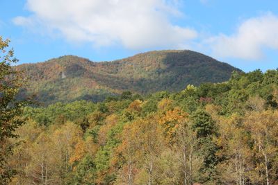
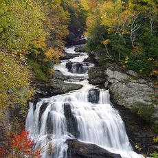
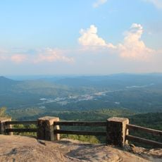
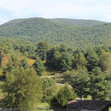
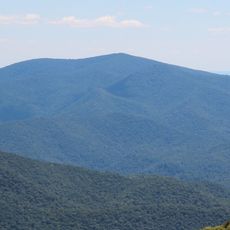
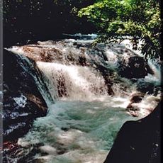
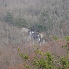
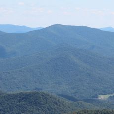
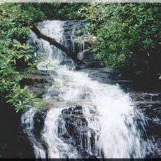
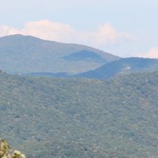
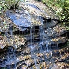
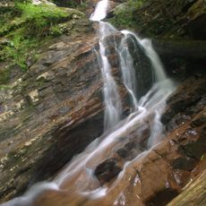
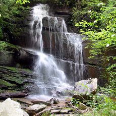
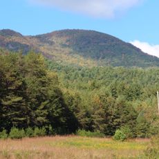
Southern Nantahala Wilderness is a federal protection area with steep mountain slopes, thick forests, and numerous flowing streams. The terrain spans two states and features complex high-elevation ecosystems throughout.
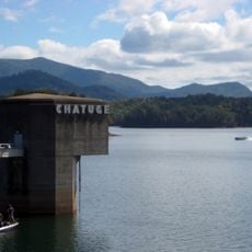
Federal protection came to the area in 1984, following decades of heavy logging that shaped the landscape. Railways transported timber along the Nantahala River before the forest eventually regrew.
The Cherokee named this region Nantahala, meaning Land of the Noonday Sun, reflecting its place in their ancestral homelands of the Blue Ridge Mountains. This indigenous connection remains embedded in the landscape's identity.
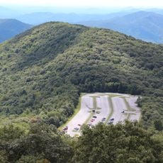
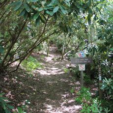
The Appalachian Trail runs through the wilderness for about 32 miles with several entry points for hikers and backpackers. Access is available year-round, though spring and fall offer the most comfortable hiking conditions.
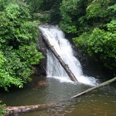
The area contains specialized bog environments that support endangered species and plant combinations found nowhere else on the North American continent. These distinctive wetlands create conditions unlike anywhere nearby.
The community of curious travelers
AroundUs brings together thousands of curated places, local tips, and hidden gems, enriched daily by 60,000 contributors worldwide.