
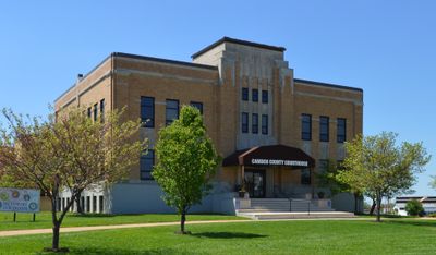
Camden County, County administration center in Camdenton, Missouri, United States.
Camden County stretches across 709 square miles of Missouri territory, containing 656 square miles of land and 53 square miles of water surface.
The county, established in 1841 as Kinderhook County, received its current name in 1843 to honor Charles Pratt, the first Earl of Camden.
Southern Baptist congregations form the largest religious group in Camden County, reflecting the strong evangelical Protestant presence in the region.
The county provides extensive online resources for residents, including marriage licenses, property assessments, and information about elected officials through their official website.
Camden County serves as the primary filming location for the television series Ozark, bringing national attention to this Missouri jurisdiction.
Location: Missouri
Inception: January 29, 1841
Capital city: Camdenton
Shares border with: Morgan County, Dallas County, Laclede County, Miller County, Pulaski County, Benton County, Hickory County
Website: http://camdenmo.org
GPS coordinates: 38.03000,-92.77000
Latest update: May 27, 2025 13:14
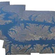
Lake of the Ozarks
23.2 km
Party Cove
12.8 km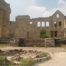
Ha Ha Tonka State Park
6.7 km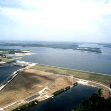
Truman Reservoir
61.3 km
Uranus Missouri
62.5 km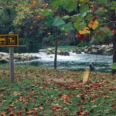
Bennett Spring State Park
35.7 km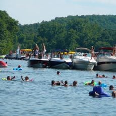
Lake of the Ozarks State Park
12.8 km
Marine Corps Detachment, Fort Leonard Wood
65.1 km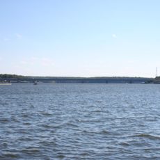
Grand Glaize Bridge
16 km
Bridal Cave
4 km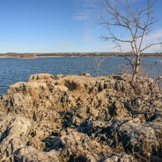
Pomme de Terre State Park
51.2 km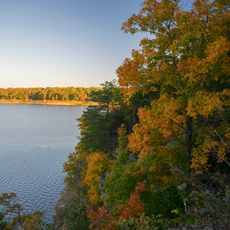
Harry S Truman State Park
64.7 km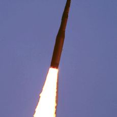
508th Missile Squadron
64.9 km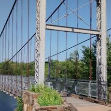
Upper Bridge
59.1 km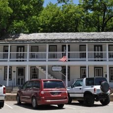
Old Stagecoach Stop
54.8 km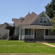
Ralph E. Burley House
40.3 km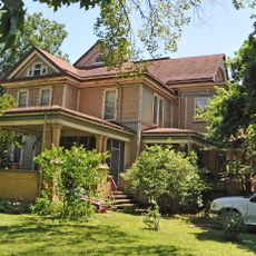
Wallace House
39.6 km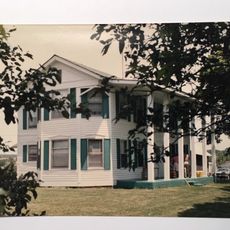
Calloway Manes Homestead
36.7 km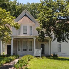
Ploger-Moneymaker Place
39.5 km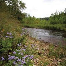
Fiery Fork Conservation Area
17.5 km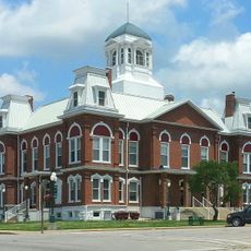
Morgan County Courthouse
45.3 km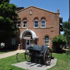
Pulaski County Courthouse
54.7 km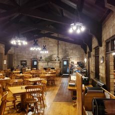
Bennett Spring Dining Lodge
34.7 km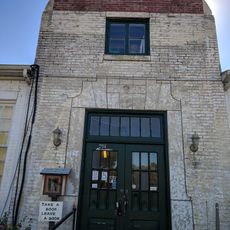
Camden County Historical Society
5.1 km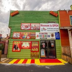
Uranus
62.5 km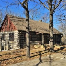
Lake of the Ozarks State Park Highway 134 Historic District
21 km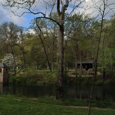
Bennett Spring State Park Shelter House and Water Gauge Station
35.7 km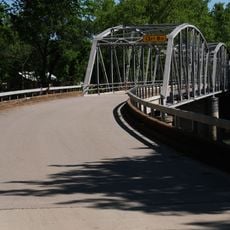
Devils Elbow Bridge
65.3 kmReviews
Visited this place? Tap the stars to rate it and share your experience / photos with the community! Try now! You can cancel it anytime.
Discover hidden gems everywhere you go!
From secret cafés to breathtaking viewpoints, skip the crowded tourist spots and find places that match your style. Our app makes it easy with voice search, smart filtering, route optimization, and insider tips from travelers worldwide. Download now for the complete mobile experience.

A unique approach to discovering new places❞
— Le Figaro
All the places worth exploring❞
— France Info
A tailor-made excursion in just a few clicks❞
— 20 Minutes