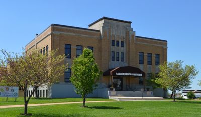
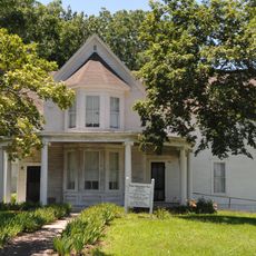
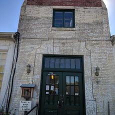
Camden County, County administration center in Camdenton, Missouri, United States.
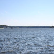
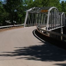
Camden County is an administrative division in Missouri covering roughly 1,800 square kilometers, with the bulk being land area and a smaller portion consisting of water bodies. The county encompasses several towns and settlements, with Camdenton serving as the administrative center where government offices are located.
The area was created in 1841 under the name Kinderhook County and renamed just two years later in honor of Charles Pratt, the Earl of Camden. This change of name reflected evolving political priorities during Missouri's territorial development period.
Baptist churches form the backbone of religious life in the county, reflecting how evangelical Protestantism has shaped community values and traditions. You'll find these congregations woven throughout the towns and rural areas, playing a central role in local social gatherings and celebrations.
The main county offices are based in Camdenton, where you can access information on permits, property records, and government services. The county website offers online resources for common needs like marriage license applications and public records inquiries.
The county served as a primary filming location for the television series Ozark, bringing national recognition to the region. This production drew attention from viewers across the country who became interested in the landscapes and communities depicted in the show.
The community of curious travelers
AroundUs brings together thousands of curated places, local tips, and hidden gems, enriched daily by 60,000 contributors worldwide.