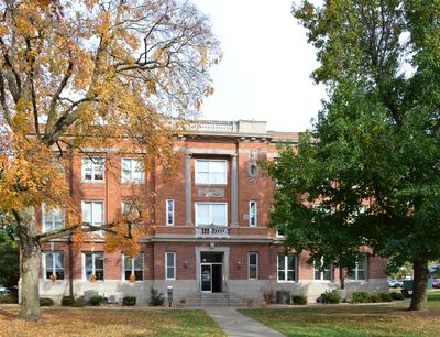
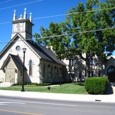
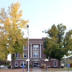
Christian County, County administrative division in Missouri, United States
Christian County is an administrative region in Missouri with Ozark serving as its governmental seat. The area spans several towns, each providing different services and functions for residents.
The region was officially created in 1859 by the Missouri State Legislature. This establishment formed a new administrative area for the growing settlement of this part of Missouri at that time.
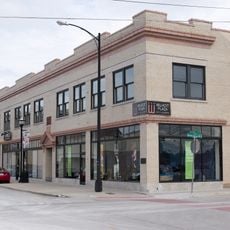
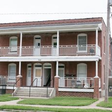
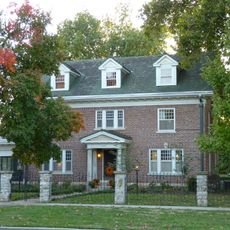
Different towns across the county each maintain their own economic centers and community ties. Residents in places like Nixa, Ozark, Rogersville, and Sparta work to support local growth and connection.
Visitors and residents can access information and services through various communication channels and online platforms. There are multiple emergency and administrative systems available to reach local authorities.
The region hosts multiple chambers of commerce offices spread across different towns that drive economic efforts. This decentralized structure lets separate communities pursue their own priorities and goals independently.
The community of curious travelers
AroundUs brings together thousands of curated places, local tips, and hidden gems, enriched daily by 60,000 contributors worldwide.