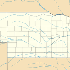
Wayne County, County in Nebraska, United States
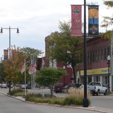
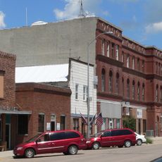
Wayne County is an administrative division in northeastern Nebraska spread across rolling terrain with farmland as the dominant feature. Small towns are connected by highways that link the county to surrounding regions and facilitate commerce.
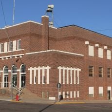
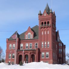
The area was officially organized as a county in 1870 through a gubernatorial proclamation that divided it into 13 administrative precincts. This establishment shaped the local governance structure that remains today.
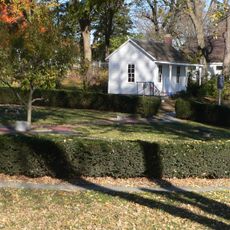
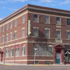
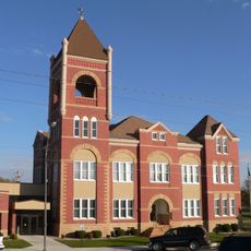
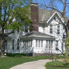
The county's culture centers on farming traditions and close-knit rural communities that shape daily life and social connections. People here maintain ties to the land and gather in local towns for school events and community activities.
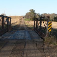
When exploring the area, using maps or GPS helps navigate the highway system that connects towns and regions. Be mindful of seasonal conditions since agricultural activity and weather patterns affect road conditions and what you see in the landscape.
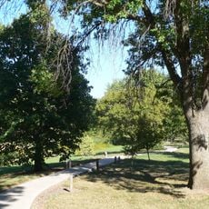
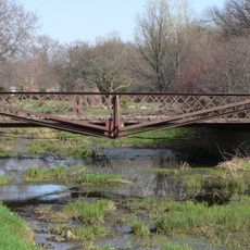
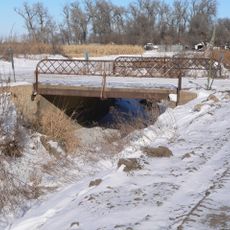
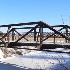
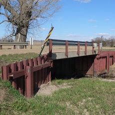
South Logan Creek flows through the county from west to east, shaping the natural drainage system and local water resources. This waterway supports irrigation for farmland and provides water for communities throughout the region.
Location: Nebraska
Inception: 1867
Capital city: Wayne
Shares border with: Cedar County, Stanton County, Pierce County, Dixon County, Thurston County, Cuming County, Madison County
Website: http://waynecountyne.org
GPS coordinates: 42.21000,-97.12000
Latest update: December 10, 2025 15:48
Norfolk
31.8 km
Cowboy Trail
34.2 km
Hartington City Hall and Auditorium
47.2 km
John G. Neihardt State Historic Site
50 km
Gilman Park Arboretum
32.9 km
Willow Creek Bridge
45.3 km
Swedish Evangelical Lutheran Salem Church
22.1 km
Hartington Hotel
47.3 km
Wayne County Courthouse
8.7 km
Dixon County Courthouse
51.8 km
Norfolk Community Theatre
31.1 km
Dr. W.C. Wightman House
8.7 km
Rattlesnake Creek Bridge
45.7 km
Norfolk Carnegie Library
31.5 km
Thurston County Courthouse
35.6 km
Cedar County Courthouse
47.1 km
First Thurston County Courthouse
35.7 km
Stubbs–Ballah House
31.5 km
North Omaha Creek Bridge
48.6 km
Wayne Commercial Historic District
8.7 km
Mathewson–Gerecke House
31.9 km
Distrito electoral de Valley (condado de Madison, Nebraska)
38 km
NCRC Elkhorn River Bridge
35.2 km
Meridian Highway Bridge
30.2 km
Meridian Highway North Fork Bridge
30.3 km
Willow Creek Bridge
45.3 km
North Omaha Creek Bridge
50.1 km
Logan Creek Bridge
36.1 kmVisited this place? Tap the stars to rate it and share your experience / photos with the community! Try now! You can cancel it anytime.
Discover hidden gems everywhere you go!
From secret cafés to breathtaking viewpoints, skip the crowded tourist spots and find places that match your style. Our app makes it easy with voice search, smart filtering, route optimization, and insider tips from travelers worldwide. Download now for the complete mobile experience.
A unique approach to discovering new places❞
— Le Figaro
All the places worth exploring❞
— France Info
A tailor-made excursion in just a few clicks❞
— 20 Minutes