Cowboy Trail, National Recreation Trail in Nebraska, United States
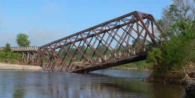
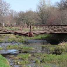
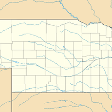
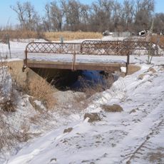
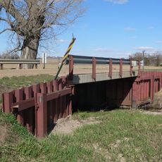
The Cowboy Trail is a long-distance path stretching roughly 195 miles from Norfolk to Valentine across northern Nebraska, built on a crushed limestone surface with wooden bridge decks. The route incorporates over 200 converted railway bridges, creating a mostly flat corridor for walkers and cyclists of all abilities.
This path follows the former Chicago and Northwestern railroad line, which operated under the Cowboy Line name before closure and conversion into a recreation trail. The rail line once connected remote communities and its original route remains central to the way the trail winds through the landscape today.
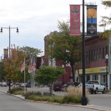
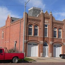
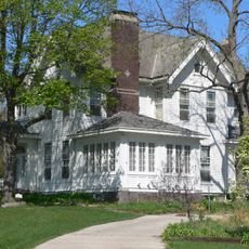
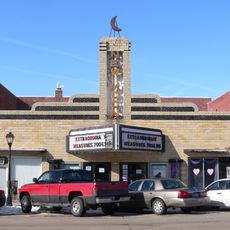
The communities scattered along the route gather regularly for local festivals and celebrations that bring people from different towns together. Visitors notice how the trail serves as a gathering place where neighbors meet and explore the land on foot or by bicycle.
The path is about eight feet wide with a solid surface that remains accessible throughout the year for walkers and cyclists of all levels. Small towns positioned along the route offer refreshments and rest stops, so planning your trip around these natural breaks makes the experience more comfortable.
A striking feature is a bridge standing about 148 feet high that stretches a quarter mile across the Niobrara River, where visitors often spot bald eagles and large soaring birds overhead. This elevated crossing provides a dramatically different view compared to the mostly flat terrain elsewhere.
The community of curious travelers
AroundUs brings together thousands of curated places, local tips, and hidden gems, enriched daily by 60,000 contributors worldwide.