Enable Location

We need your location to show you interesting places around you

Discover nearby places

Find interesting locations and hidden gems around you

Precise directions

Get accurate directions and distances to places

Your location is never shared with other users. It's only used when you tap the location button.

Norfolk

Log in to your account

Start exploring — it's free

Trusted by 63,460 travelers worldwide

Continue with Google
Continue with Apple
or

We will send you a code to connect

By continuing, you accept our Terms and Conditions and our Privacy Policy

Check your inbox

We've sent a pincode in your inbox. Please enter the code below.

Discussion Reviews 5 Photos
39.6k Popularity

Norfolk, Agricultural trade center in northeastern Nebraska, United States.

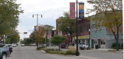
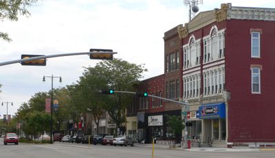
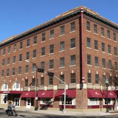
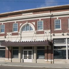
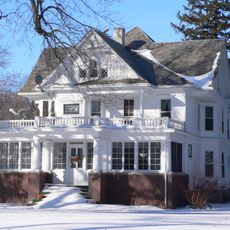
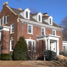
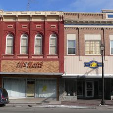
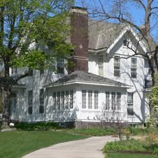
Norfolk sits along the North Fork Elkhorn River in northeastern Nebraska, with residential neighborhoods flowing into a commercial core where U.S. Routes 81 and 275 meet. The city functions as a regional hub serving the surrounding farming region with schools, shops, and services.

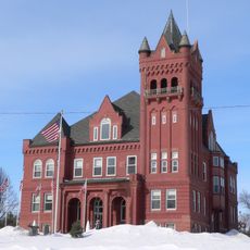
German farmers from Wisconsin founded the settlement in 1866 and called it North Fork before postal authorities renamed it Norfolk. This founding set the stage for the community to grow around farming and regional commerce.

Northeast Community College enrolls 7,000 students and maintains educational programs focused on agricultural sciences and technical training.

The Norfolk Regional Airport offers air travel options while Express Arrow provides bus service to nearby cities. The location on major routes makes it straightforward to reach and explore the area.

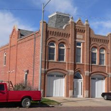
The city is home to the Bradford Business Park, a 140-acre industrial zone focused on manufacturing and distribution. This development shows how the community has expanded beyond its farming roots.

The community of curious travelers

AroundUs brings together thousands of curated places, local tips, and hidden gems, enriched daily by 60,000 contributors worldwide.

Start exploring
Location
Inception
1866
Elevation above the sea
464 m
GPS coordinates
42.02833,-97.41700
Latest update
December 17, 2025 09:03
Around this place
Cowboy Trail
United States of America

Cowboy Trail

2.8 km
Saint Leonard Catholic Church
United States of America

Saint Leonard Catholic Church

22.7 km
First United Presbyterian Church
United States of America

First United Presbyterian Church

22.6 km
United States of America

Willow Creek State Recreation Area

19.9 km
Hotel Norfolk
United States of America

Hotel Norfolk

721 m
Gilman Park Arboretum
United States of America

Gilman Park Arboretum

20.9 km
Willow Creek Bridge
United States of America

Willow Creek Bridge

26.5 km
Wayne County Courthouse
United States of America

Wayne County Courthouse

40 km
Norfolk Community Theatre
United States of America

Norfolk Community Theatre

670 m
Dr. W.C. Wightman House
United States of America

Dr. W.C. Wightman House

40 km
United States Post Office and Courthouse
United States of America

United States Post Office and Courthouse

595 m
Norfolk Carnegie Library
United States of America

Norfolk Carnegie Library

468 m
Warrick House
United States of America

Warrick House

26.5 km
Stubbs–Ballah House
United States of America

Stubbs–Ballah House

968 m
Wayne Commercial Historic District
United States of America

Wayne Commercial Historic District

39.9 km
Humphrey City Hall
United States of America

Humphrey City Hall

38 km
United States of America

Stanton Carnegie Library

18.1 km
Mathewson–Gerecke House
United States of America

Mathewson–Gerecke House

775 m
Distrito electoral de Valley (condado de Madison, Nebraska)
United States of America

Distrito electoral de Valley (condado de Madison, Nebraska)

9.3 km
United States of America

Norfolk Masonic Temple

509 m
NCRC Elkhorn River Bridge
United States of America

NCRC Elkhorn River Bridge

3.5 km
United States of America

Skyview Lake

2.3 km
United States of America

Charipar Golf Course

39.6 km
United States of America

Elkhorn Acres Golf Course

19.8 km
United States of America

Fair Play Golf Course

7.4 km
United States of America

Evergreen Hills

16.8 km
United States of America

Eldorado Hills Golf Club

4.2 km
United States of America

Waterfall

39.5 km
Show the full map
Reviews
Share your experience

No review yet

Discussions
Start a discussion...

No discussion yet

« Norfolk - Agricultural trade center in northeastern Nebraska, United States » is provided by Around Us (aroundus.com). Images and texts are derived from Wikimedia project under a Creative Commons license. You are allowed to copy, distribute, and modify copies of this page, under the conditions set by the license, as long as this note is clearly visible.

Discover hidden gems everywhere you go!

From secret cafés to breathtaking viewpoints, skip the crowded tourist spots and find places that match your style. Our app makes it easy with voice search, smart filtering, route optimization, and insider tips from travelers worldwide. Download now for the complete mobile experience.

Around Us App Screenshot

A unique approach to discovering new places

Le Figaro

All the places worth exploring

France Info

A tailor-made excursion in just a few clicks

20 Minutes

Around Us
Travel Guide & Maps
Download

Send to your phone

QR Code
1

Open the camera app on your mobile.

2

Point at the QR code with your camera. A notification will appear.

3

Tap the notification to open the link.