Madison County

Log in to your account

AroundUs is a community-driven map of interesting places, built by curious explorers like you. It grows with every review, story, and photo you share.
Connect to save your favorite spots, contribute locations, and create personalized routes.
By continuing, you accept our Terms and Conditions and our Privacy Policy
Add to collection
Map
Suggest a change
Share

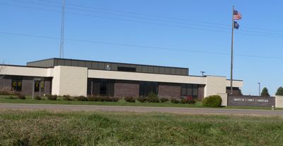
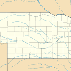
Madison County, Administrative county in Nebraska, United States.

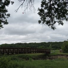
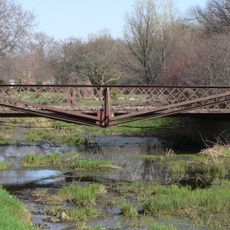
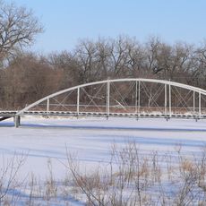
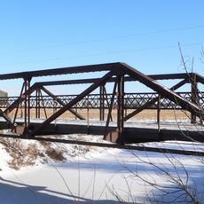
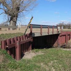
Madison County spans gently rolling terrain with farmland and the Elkhorn River flowing through its upper central area. The region connects to several major transportation routes, including U.S. Highway 81 and U.S. Highway 275.

The county was established in 1867 and named after Madison, Wisconsin, from where many early settlers came. This founding connection shaped how the community developed and organized itself.

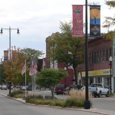
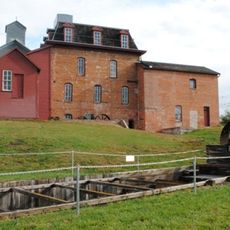
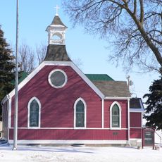
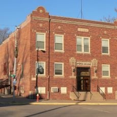
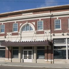
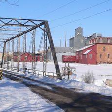
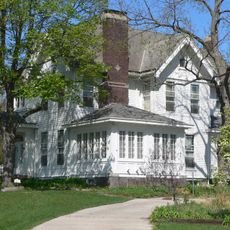
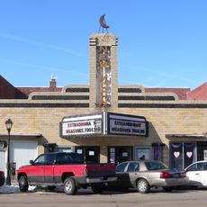
Norfolk serves as the main hub and shapes daily life across the county through its market and community events. The area maintains deep roots in farming and agriculture, which remains visible in how people work and gather together.

The area is easy to explore by car since many roads cross through it and major highways provide good access. Travel conditions are best during dry periods, as rural roads can become harder to navigate during wet seasons.

The county displays number 7 on Nebraska license plates, a marking from 1922 that rated its vehicle registrations at that time. This historic label is a detail visitors might spot while exploring the state.

Location: Nebraska

Inception: 1867

Capital city: Madison

Shares border with: Pierce County, Platte County, Stanton County, Antelope County, Boone County, Wayne County

Website: http://co.madison.ne.us

GPS coordinates: 41.92000,-97.60000

Latest update: December 10, 2025 15:58

Photos
Around this place
Show the full map
Norfolk
United States of America

Norfolk

19.4 km
Cowboy Trail
United States of America

Cowboy Trail

17.1 km
Saint Leonard Catholic Church
United States of America

Saint Leonard Catholic Church

16.1 km
First United Presbyterian Church
United States of America

First United Presbyterian Church

15.9 km
Neligh Mill
United States of America

Neligh Mill

42.4 km
Olson Nature Preserve
United States of America

Olson Nature Preserve

43.9 km
Gilman Park Arboretum
United States of America

Gilman Park Arboretum

31.9 km
Plainview Carnegie Library
United States of America

Plainview Carnegie Library

50.5 km
Willow Creek Bridge
United States of America

Willow Creek Bridge

29.2 km
St. Peter's Episcopal Church
United States of America

St. Peter's Episcopal Church

42.4 km
Clarkson Opera House
United States of America

Clarkson Opera House

45.2 km
Norfolk Community Theatre
United States of America

Norfolk Community Theatre

20 km
Neligh Mill Bridge
United States of America

Neligh Mill Bridge

42.3 km
Elkhorn River Bridge
United States of America

Elkhorn River Bridge

51 km
Monroe Congregational Church and New Hope Cemetery
United States of America

Monroe Congregational Church and New Hope Cemetery

42.4 km
Norfolk Carnegie Library
United States of America

Norfolk Carnegie Library

19.6 km
St. Michael's Catholic Church
United States of America

St. Michael's Catholic Church

34.7 km
Warrick House
United States of America

Warrick House

16.4 km
Stubbs–Ballah House
United States of America

Stubbs–Ballah House

19.7 km
Humphrey City Hall
United States of America

Humphrey City Hall

27.2 km
Mathewson–Gerecke House
United States of America

Mathewson–Gerecke House

19.3 km
Maybury–McPherson House
United States of America

Maybury–McPherson House

42.1 km
Distrito electoral de Valley (condado de Madison, Nebraska)
United States of America

Distrito electoral de Valley (condado de Madison, Nebraska)

15.6 km
New Moon Theater
United States of America

New Moon Theater

42.4 km
NCRC Elkhorn River Bridge
United States of America

NCRC Elkhorn River Bridge

16 km
Meridian Highway Bridge
United States of America

Meridian Highway Bridge

31.7 km
Meridian Highway North Fork Bridge
United States of America

Meridian Highway North Fork Bridge

30.3 km
Willow Creek Bridge
United States of America

Willow Creek Bridge

29.2 km
Show the full map
Reviews

Visited this place? Tap the stars to rate it and share your experience / photos with the community! Try now! You can cancel it anytime.

Administrative divisions
« Madison County - Administrative county in Nebraska, United States » is provided by Around Us (aroundus.com). Images and texts are derived from Wikimedia project under a Creative Commons license. You are allowed to copy, distribute, and modify copies of this page, under the conditions set by the license, as long as this note is clearly visible.

Discover hidden gems everywhere you go!

From secret cafés to breathtaking viewpoints, skip the crowded tourist spots and find places that match your style. Our app makes it easy with voice search, smart filtering, route optimization, and insider tips from travelers worldwide. Download now for the complete mobile experience.

Around Us App Screenshot

A unique approach to discovering new places

Le Figaro

All the places worth exploring

France Info

A tailor-made excursion in just a few clicks

20 Minutes