Monona County

Log in to your account

AroundUs is a community-driven map of interesting places, built by curious explorers like you. It grows with every review, story, and photo you share.
Connect to save your favorite spots, contribute locations, and create personalized routes.
By continuing, you accept our Terms and Conditions and our Privacy Policy
Add to collection
Map
Suggest a change
Share

Monona County, County in western Iowa, United States.

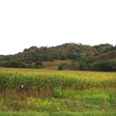
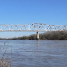
Monona County is located in western Iowa and covers a large rural area spanning both land and water. Interstate 29 runs through the western section of the county near the Missouri River border.

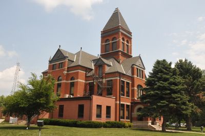
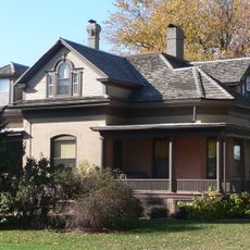
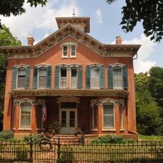
The county was established in 1851 and developed Onawa as its administrative center over time. The area grew from early pioneer settlements into an organized governmental jurisdiction.

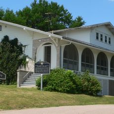
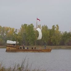
The Lewis and Clark State Park marks where the explorers camped during their 1804 journey through newly acquired territory. Visitors can walk through the park and connect with the story of this significant expedition.

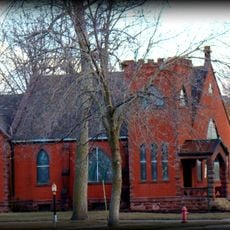
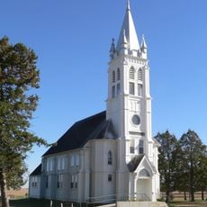
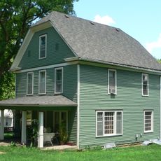
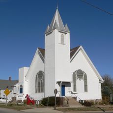
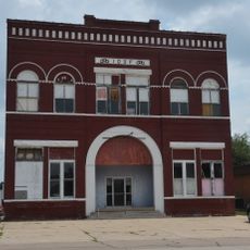
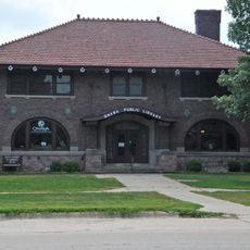
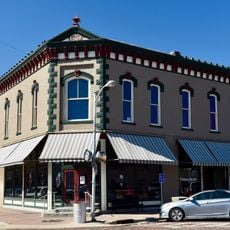
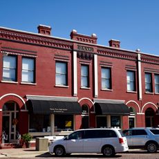
The county seat of Onawa serves as the main hub for government services and information. The area is rural with scattered towns, so plan for longer travel times between destinations.

The area gained a reputation for accurately reflecting national voting trends over many decades. Political observers watched the voting patterns here as an indicator of broader shifts across the country.

Location: Iowa

Inception: 1851

Capital city: Onawa

Elevation above the sea: 386 m

Shares border with: Woodbury County, Harrison County, Ida County, Crawford County, Burt County, Thurston County

GPS coordinates: 42.04722,-95.96861

Latest update: December 10, 2025 15:58

Photos
Around this place
Show the full map
Loess Hills
United States of America

Loess Hills

27.5 km
Dr. Susan LaFlesche Picotte Memorial Hospital
United States of America

Dr. Susan LaFlesche Picotte Memorial Hospital

45 km
Lewis and Clark State Park
United States of America

Lewis and Clark State Park

16.5 km
Trinity Memorial Episcopal Church
United States of America

Trinity Memorial Episcopal Church

19.7 km
St. John's German Evangelical Lutheran Church
United States of America

St. John's German Evangelical Lutheran Church

42.9 km
Burt County Missouri River Bridge
United States of America

Burt County Missouri River Bridge

23 km
Ingemann Danish Lutheran Church
United States of America

Ingemann Danish Lutheran Church

12.6 km
Susan La Flesche Picotte House
United States of America

Susan La Flesche Picotte House

44.7 km
Swedish Heritage Center
United States of America

Swedish Heritage Center

47.2 km
Onawa IOOF Opera House
United States of America

Onawa IOOF Opera House

10.8 km
Onawa Public Library
United States of America

Onawa Public Library

10.6 km
H.S.M. Spielman House
United States of America

H.S.M. Spielman House

36.8 km
South Jordan Cemetery
United States of America

South Jordan Cemetery

10.2 km
Woodbine Normal and Grade School
United States of America

Woodbine Normal and Grade School

40.7 km
I.O.O.F. Hall
United States of America

I.O.O.F. Hall

37.2 km
Newell A. Whiting House
United States of America

Newell A. Whiting House

11 km
Siebels' Department Store-Boyer Valley Bank
United States of America

Siebels' Department Store-Boyer Valley Bank

41 km
Woodbine Public Library
United States of America

Woodbine Public Library

40.9 km
Woodbine Lincoln Highway and Brick Street Historic District
United States of America

Woodbine Lincoln Highway and Brick Street Historic District

41 km
Woodbine Savings Bank
United States of America

Woodbine Savings Bank

41 km
E.C. Houston House
United States of America

E.C. Houston House

36.2 km
Tekamah Carnegie Library
United States of America

Tekamah Carnegie Library

36.7 km
Mann School No. 2
United States of America

Mann School No. 2

13.1 km
Burt County Courthouse
United States of America

Burt County Courthouse

36.5 km
Burt County State Bank
United States of America

Burt County State Bank

36.7 km
Monona County Courthouse
United States of America

Monona County Courthouse

10.4 km
Tekamah City Bridge
United States of America

Tekamah City Bridge

36.7 km
North Omaha Creek Bridge
United States of America

North Omaha Creek Bridge

47.3 km
Show the full map
Reviews

Visited this place? Tap the stars to rate it and share your experience / photos with the community! Try now! You can cancel it anytime.

Administrative divisions
« Monona County - County in western Iowa, United States » is provided by Around Us (aroundus.com). Images and texts are derived from Wikimedia project under a Creative Commons license. You are allowed to copy, distribute, and modify copies of this page, under the conditions set by the license, as long as this note is clearly visible.

Discover hidden gems everywhere you go!

From secret cafés to breathtaking viewpoints, skip the crowded tourist spots and find places that match your style. Our app makes it easy with voice search, smart filtering, route optimization, and insider tips from travelers worldwide. Download now for the complete mobile experience.

Around Us App Screenshot

A unique approach to discovering new places

Le Figaro

All the places worth exploring

France Info

A tailor-made excursion in just a few clicks

20 Minutes